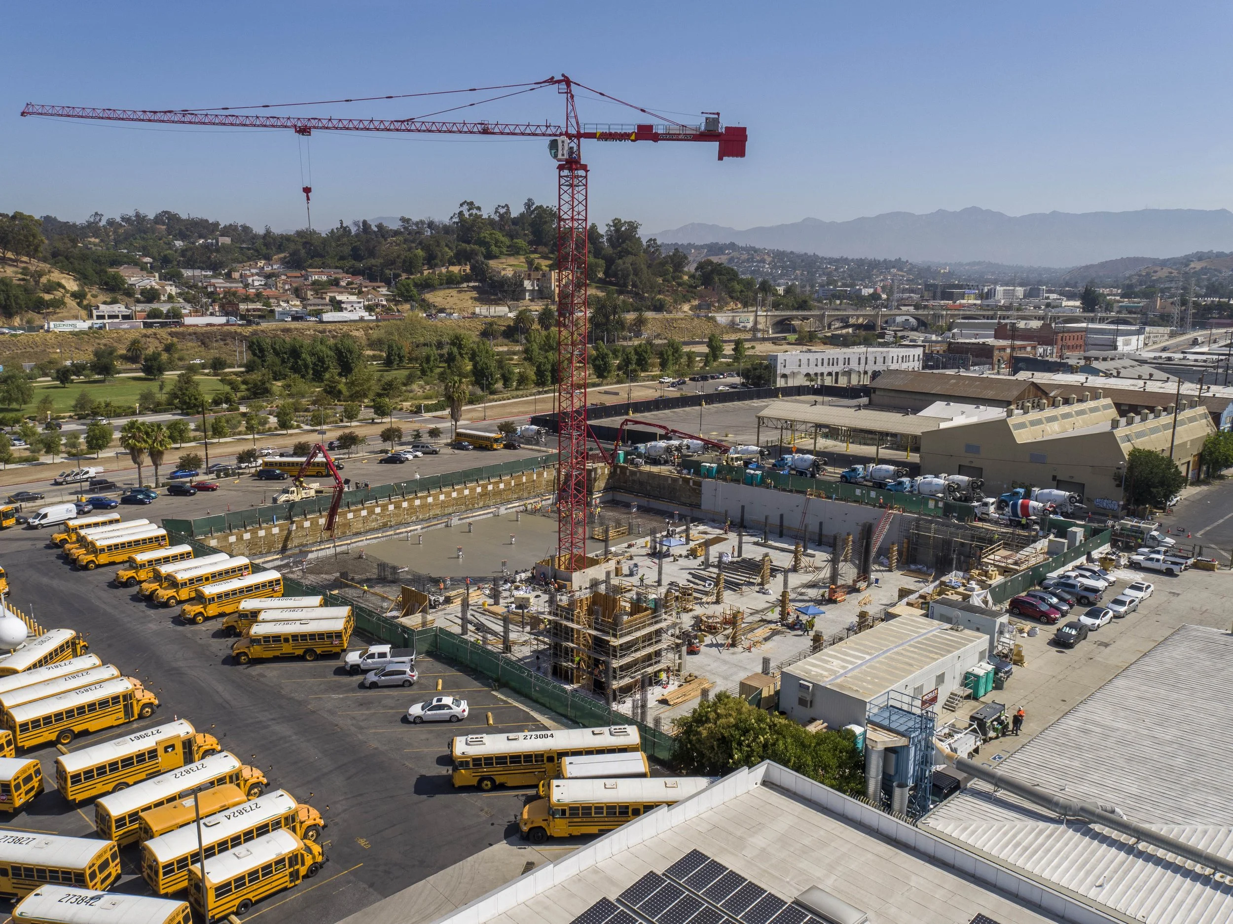
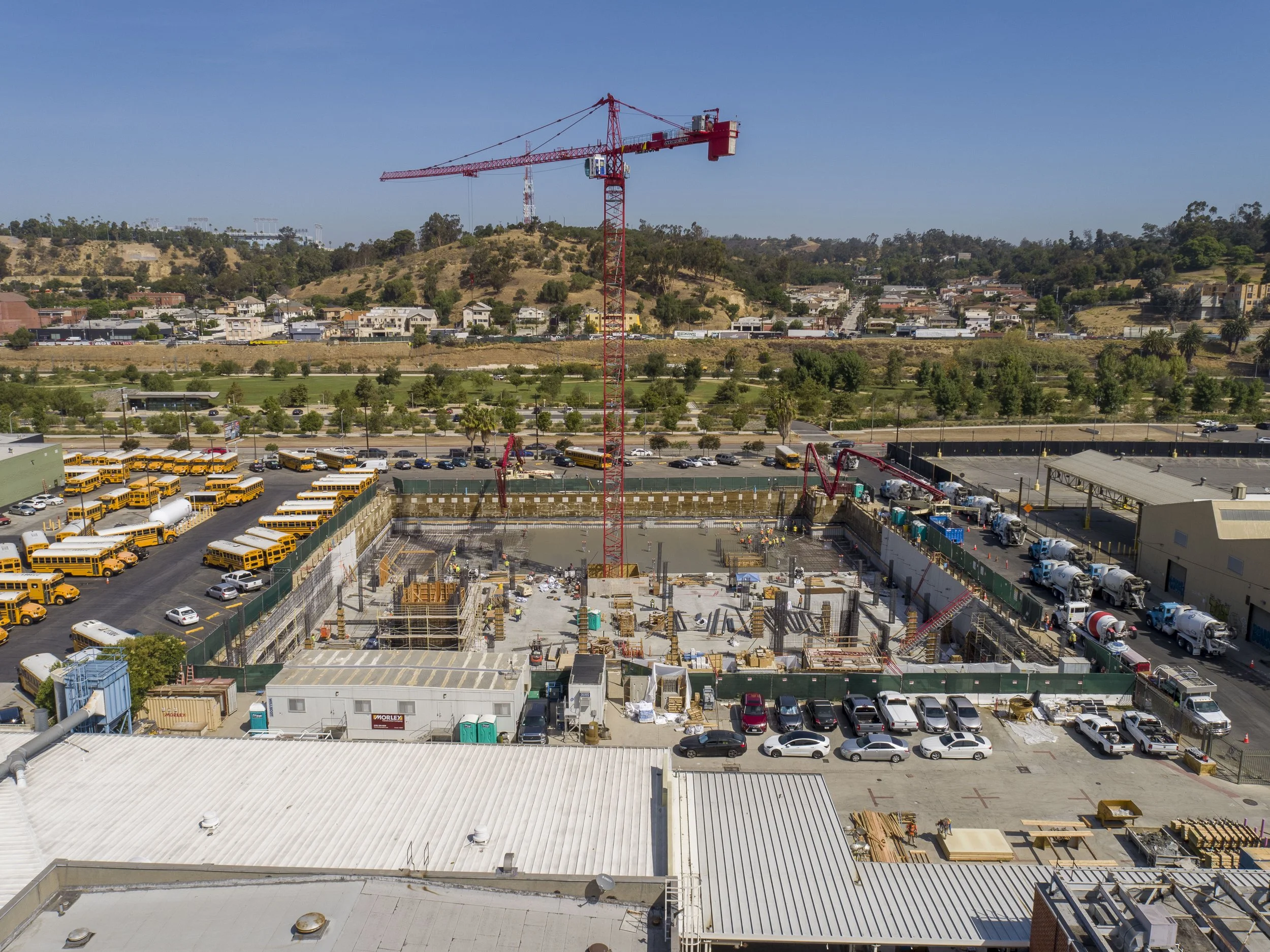
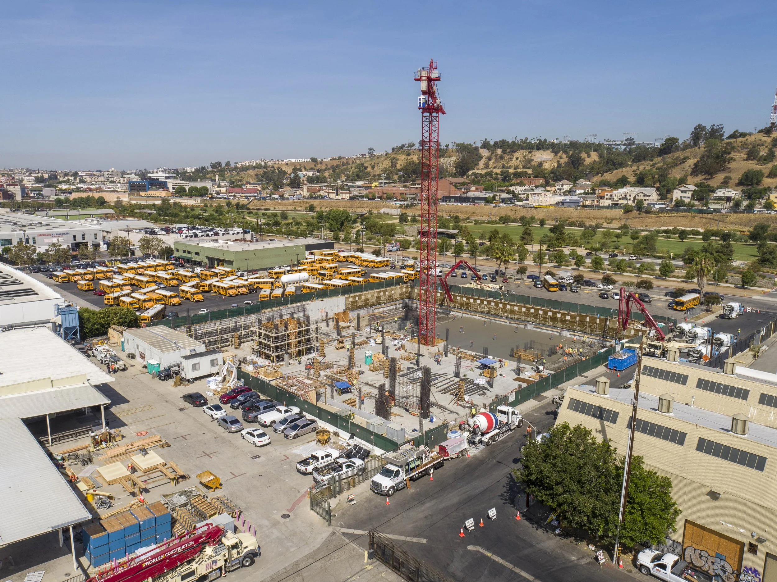
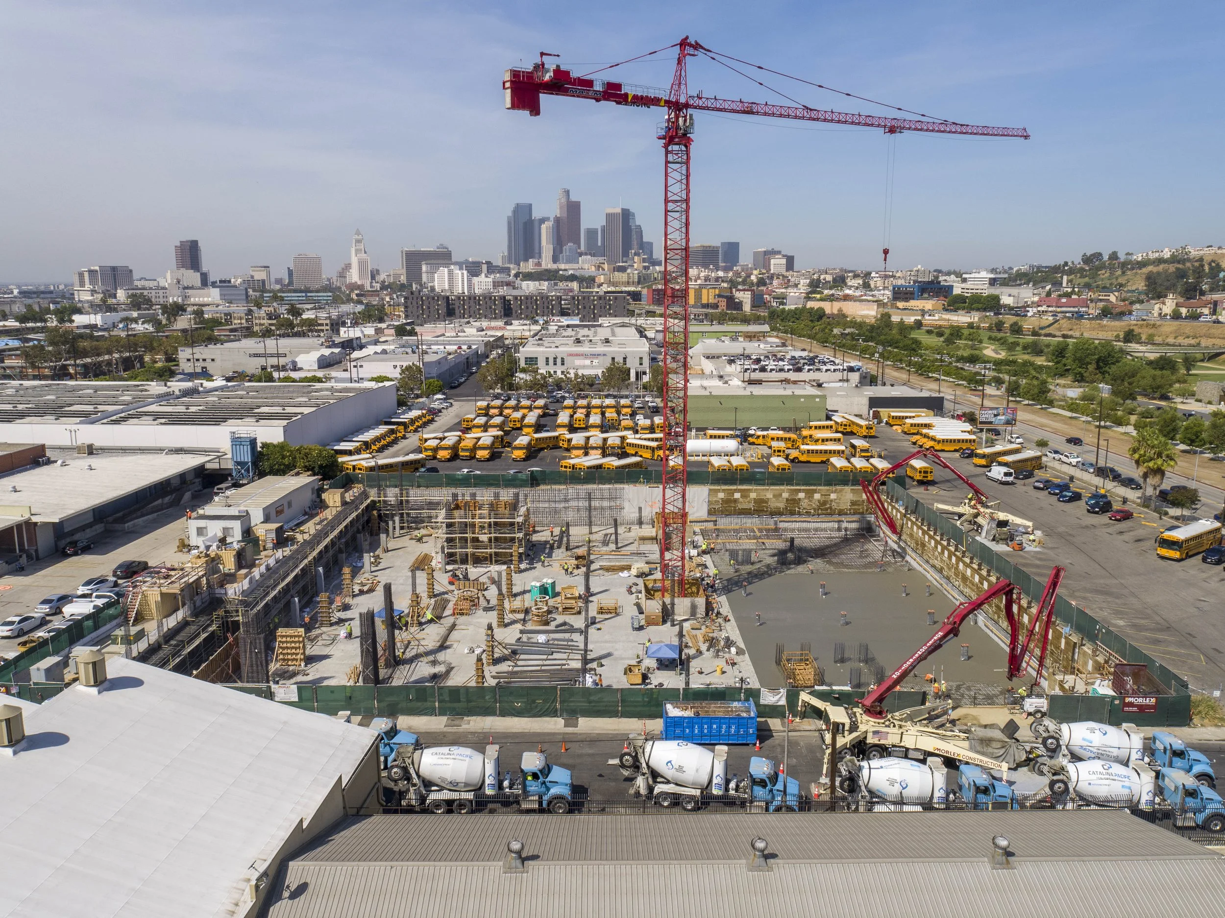
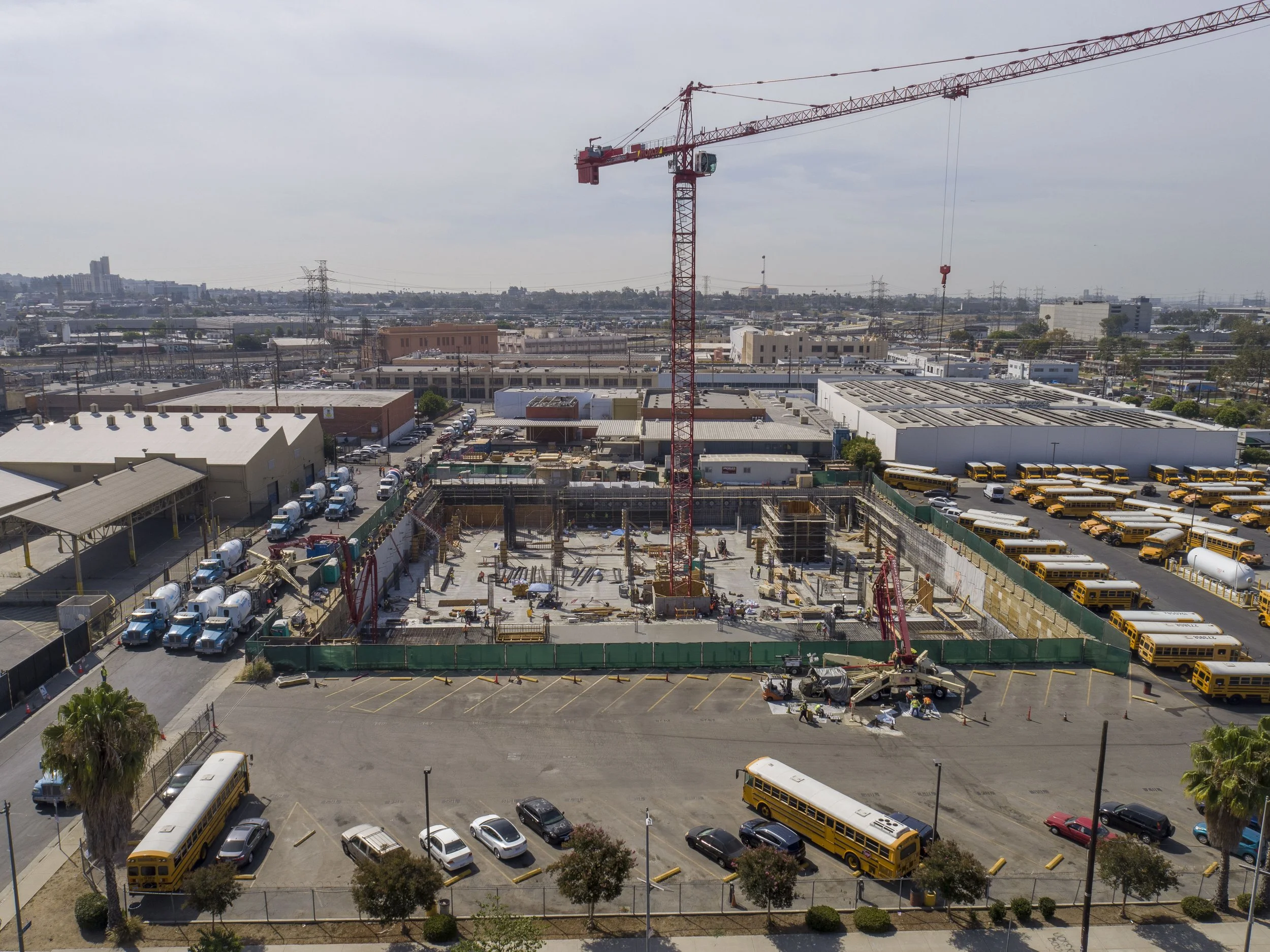
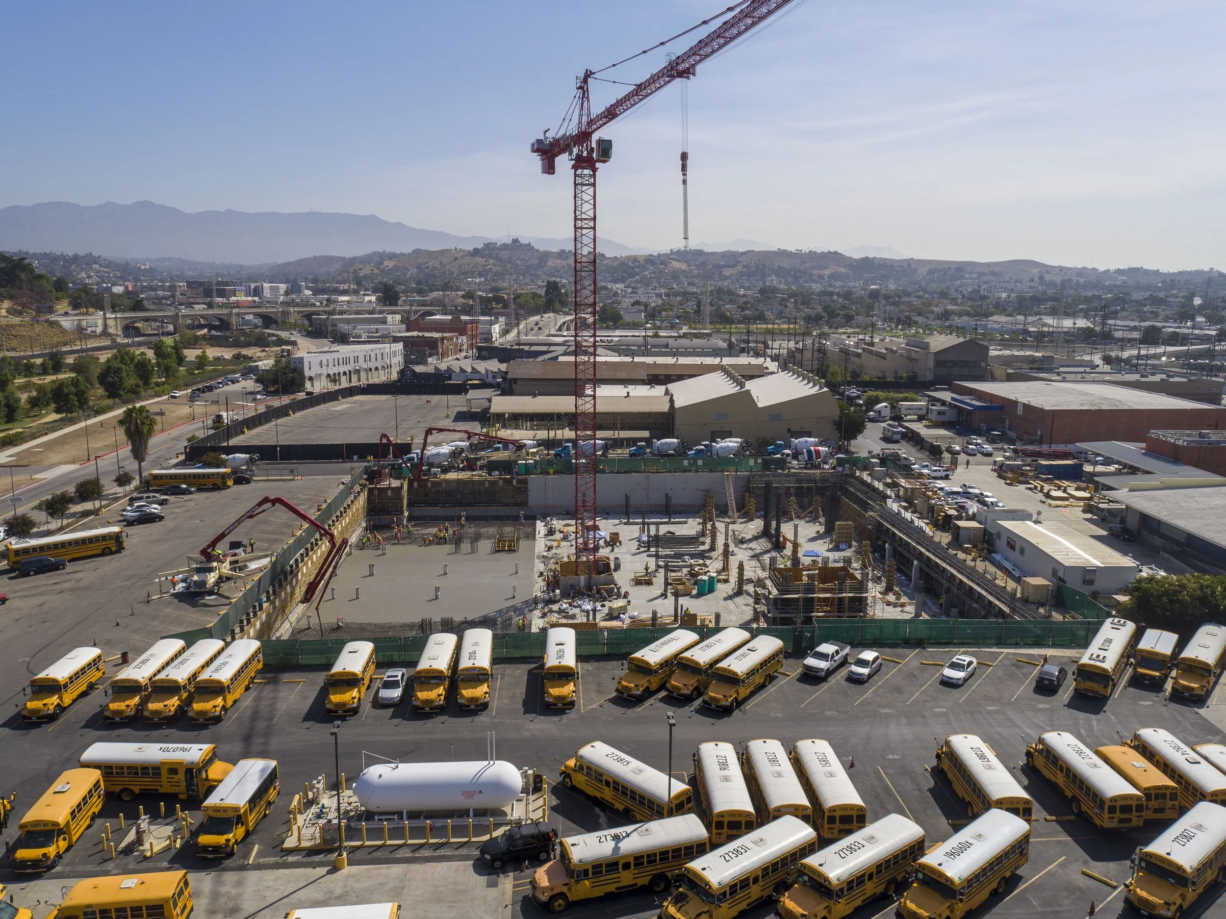
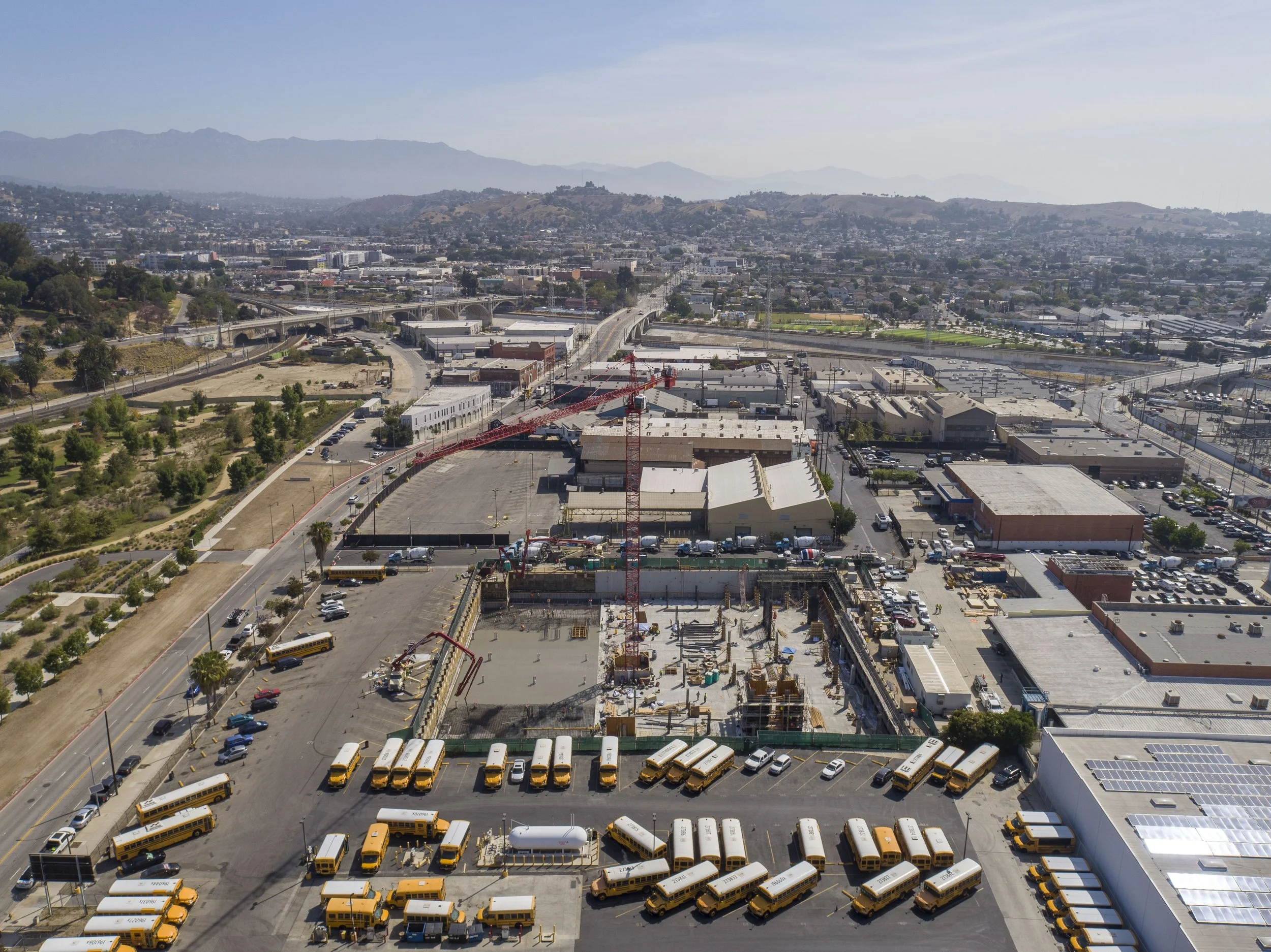
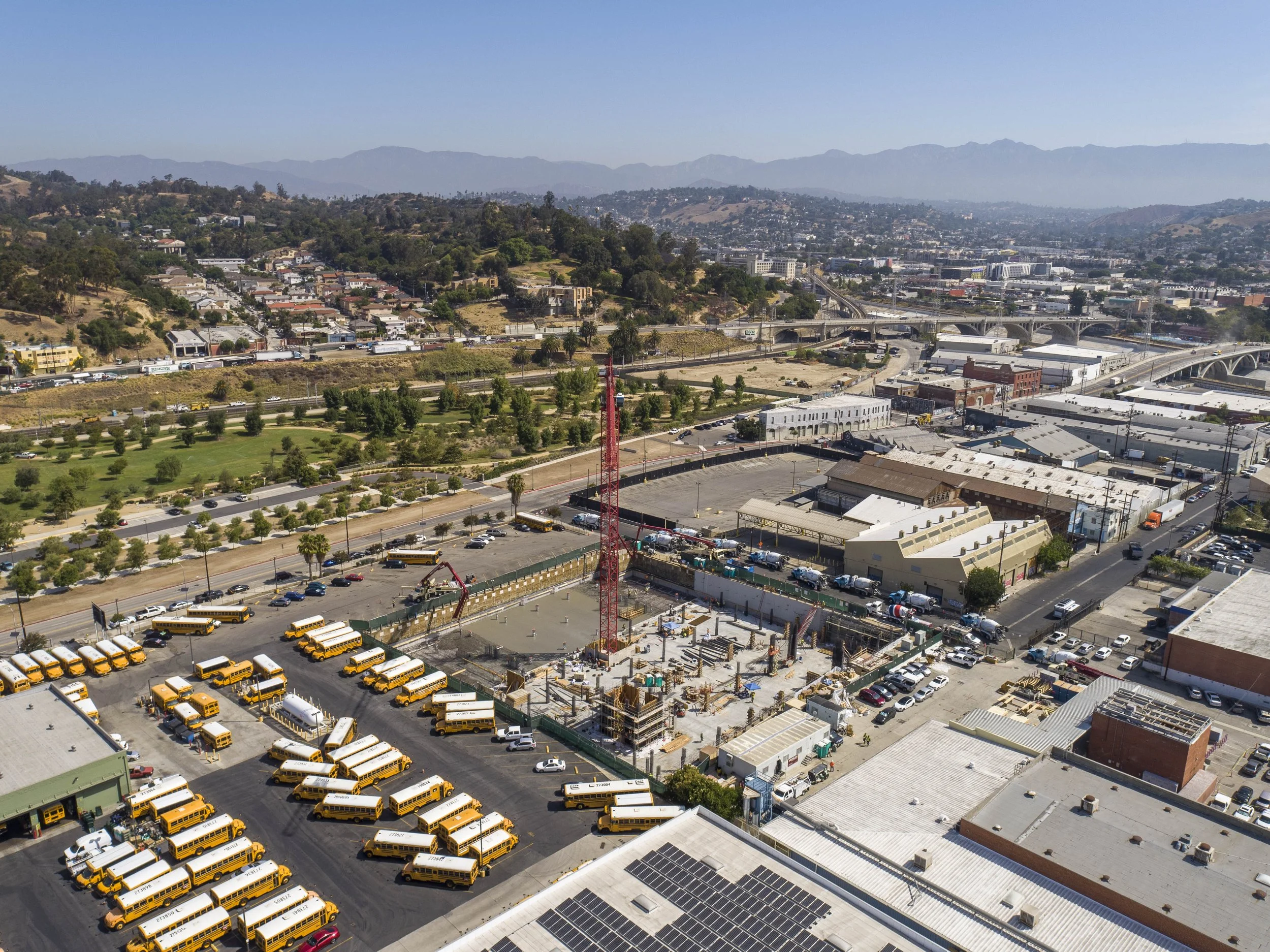
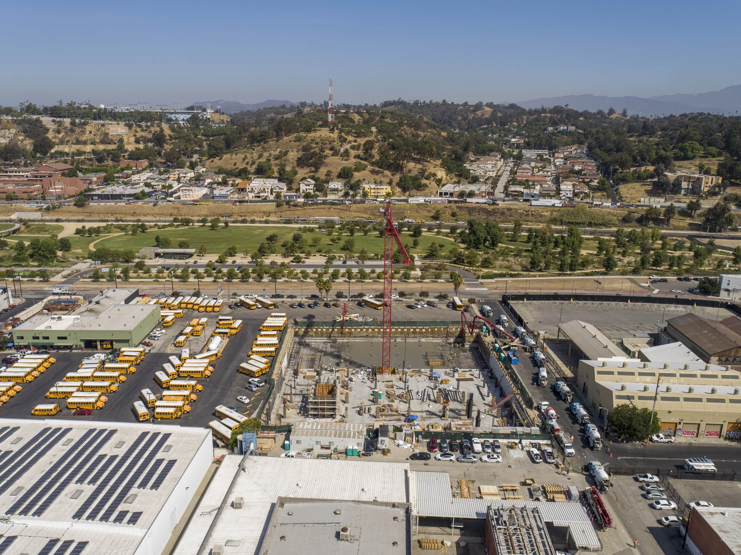
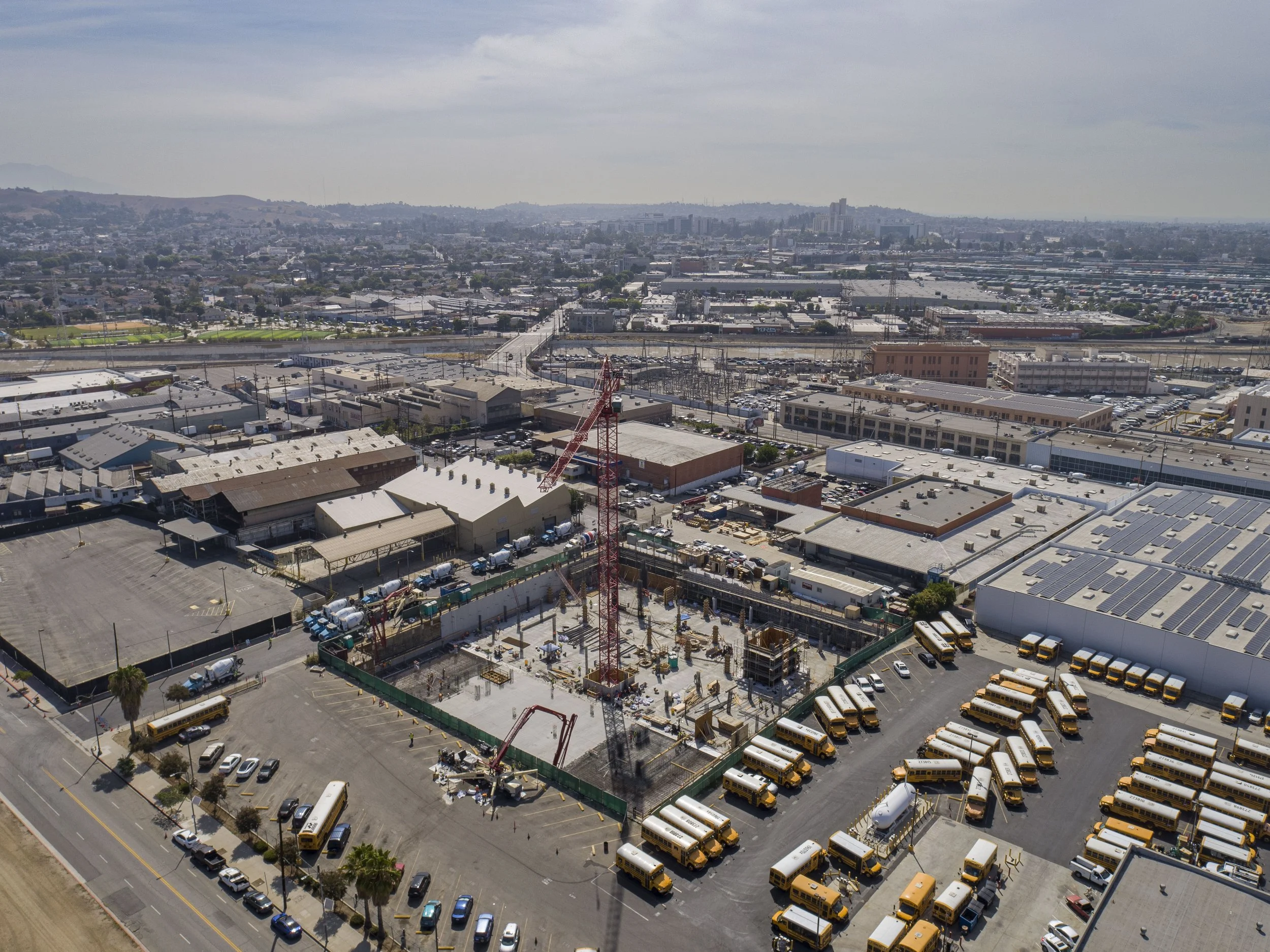
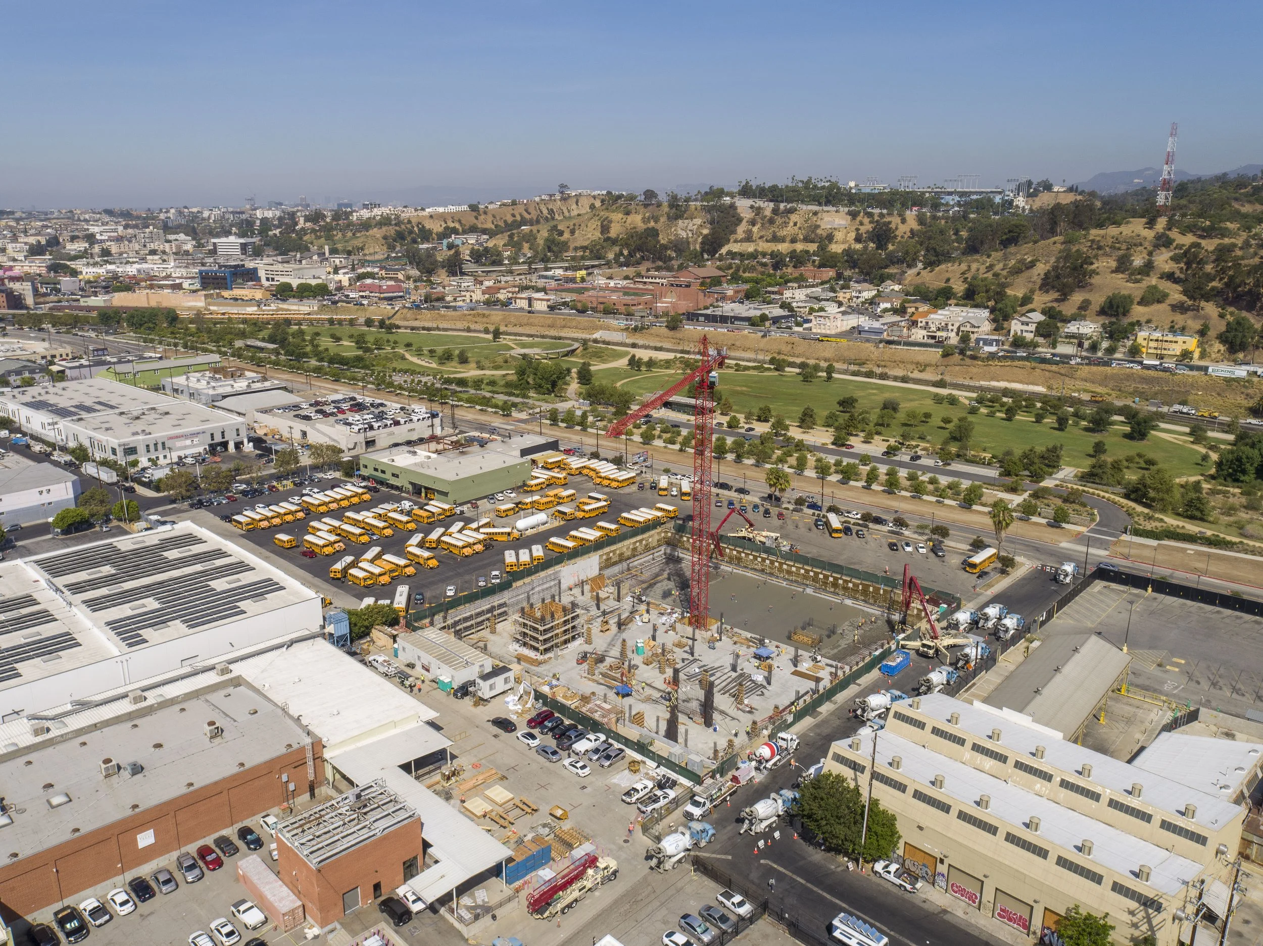
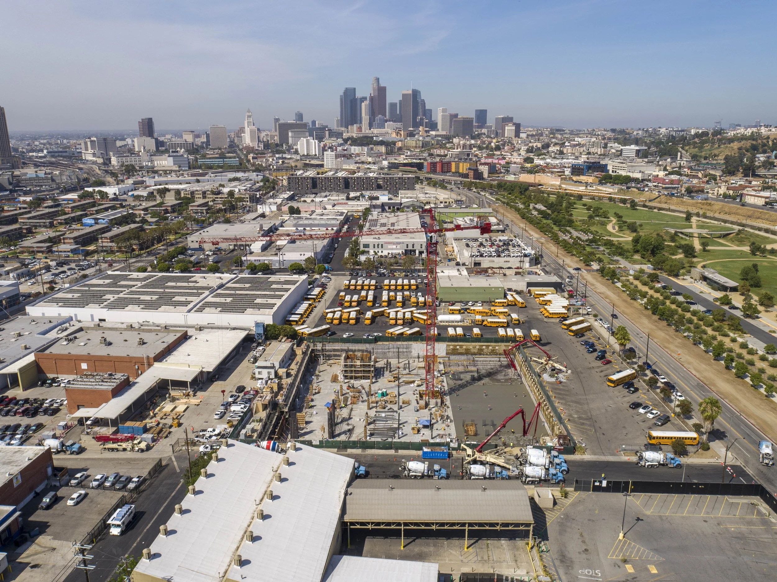
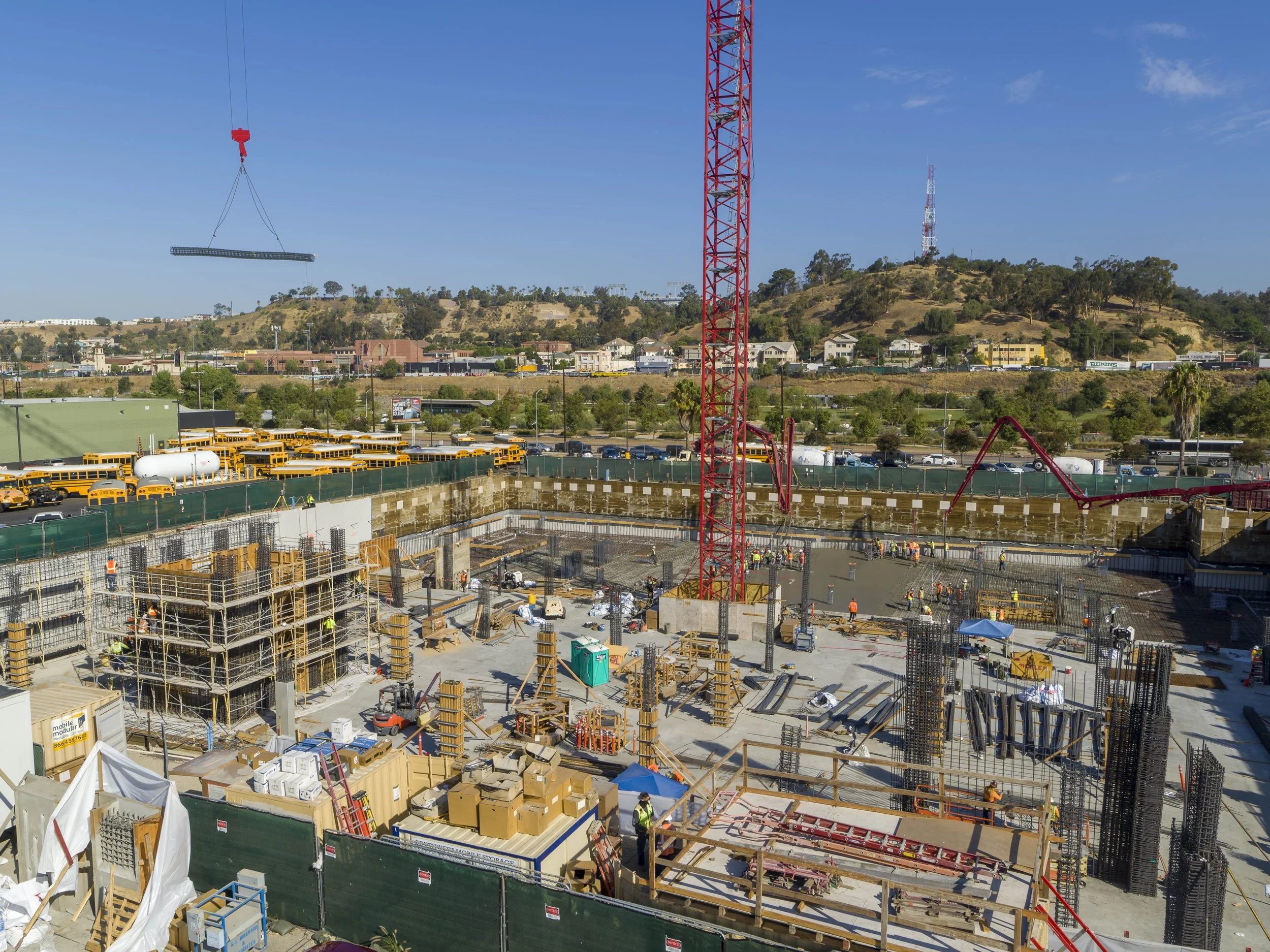
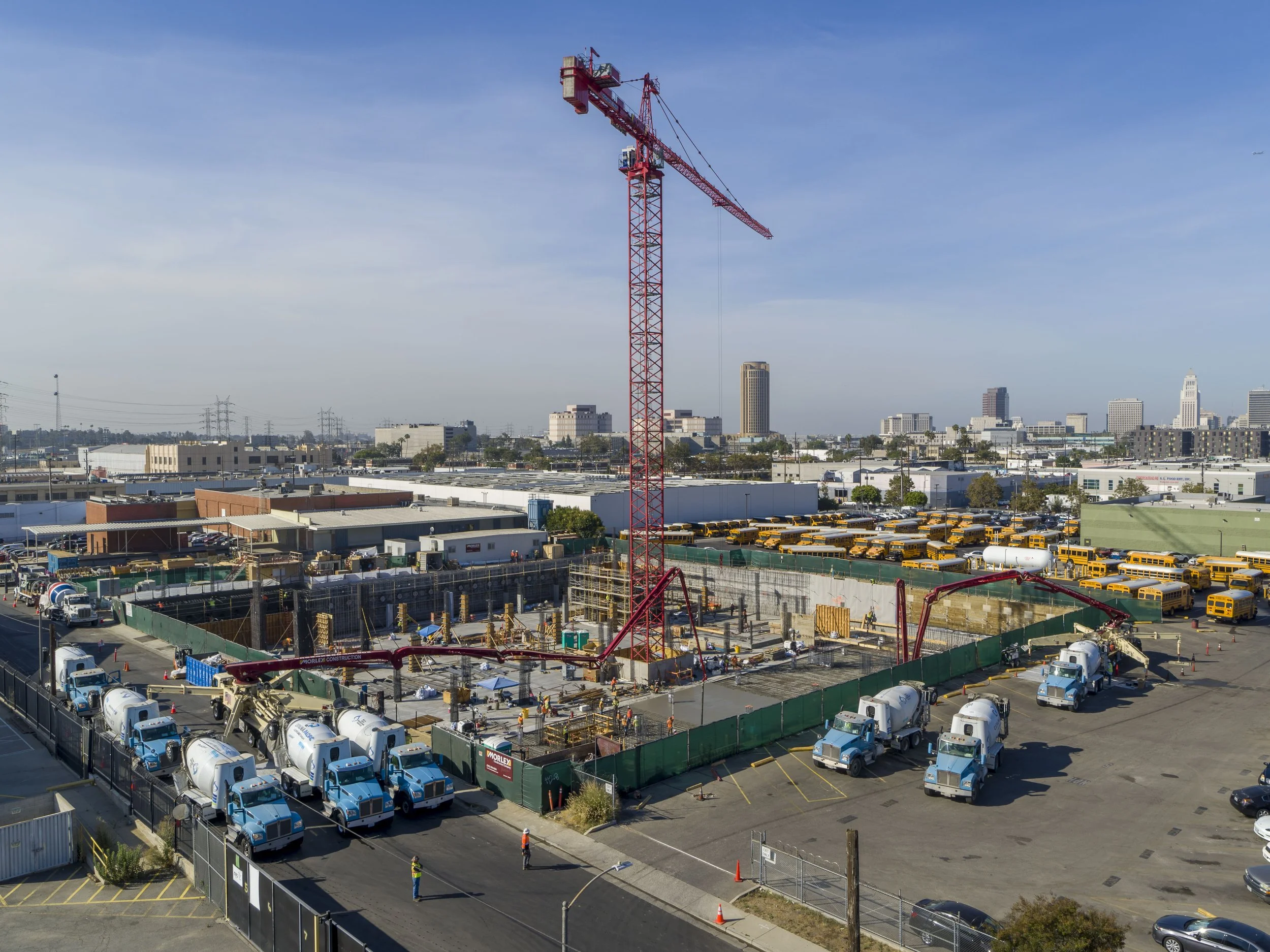
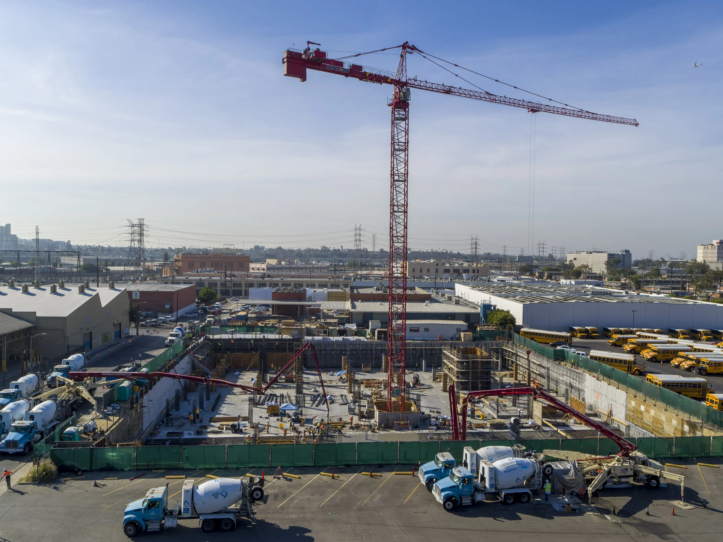
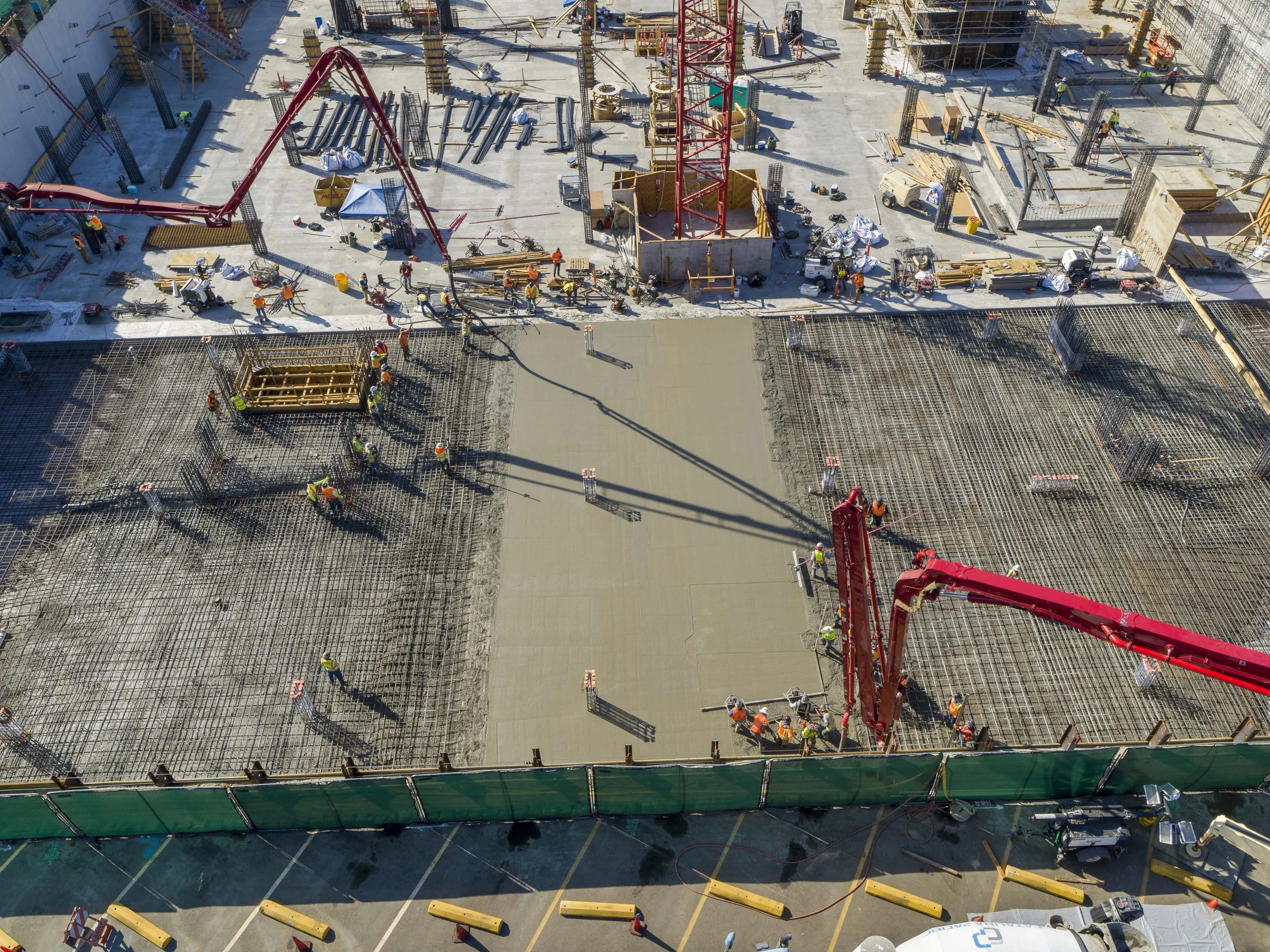
JULY 20, 2022 - VISIT #2
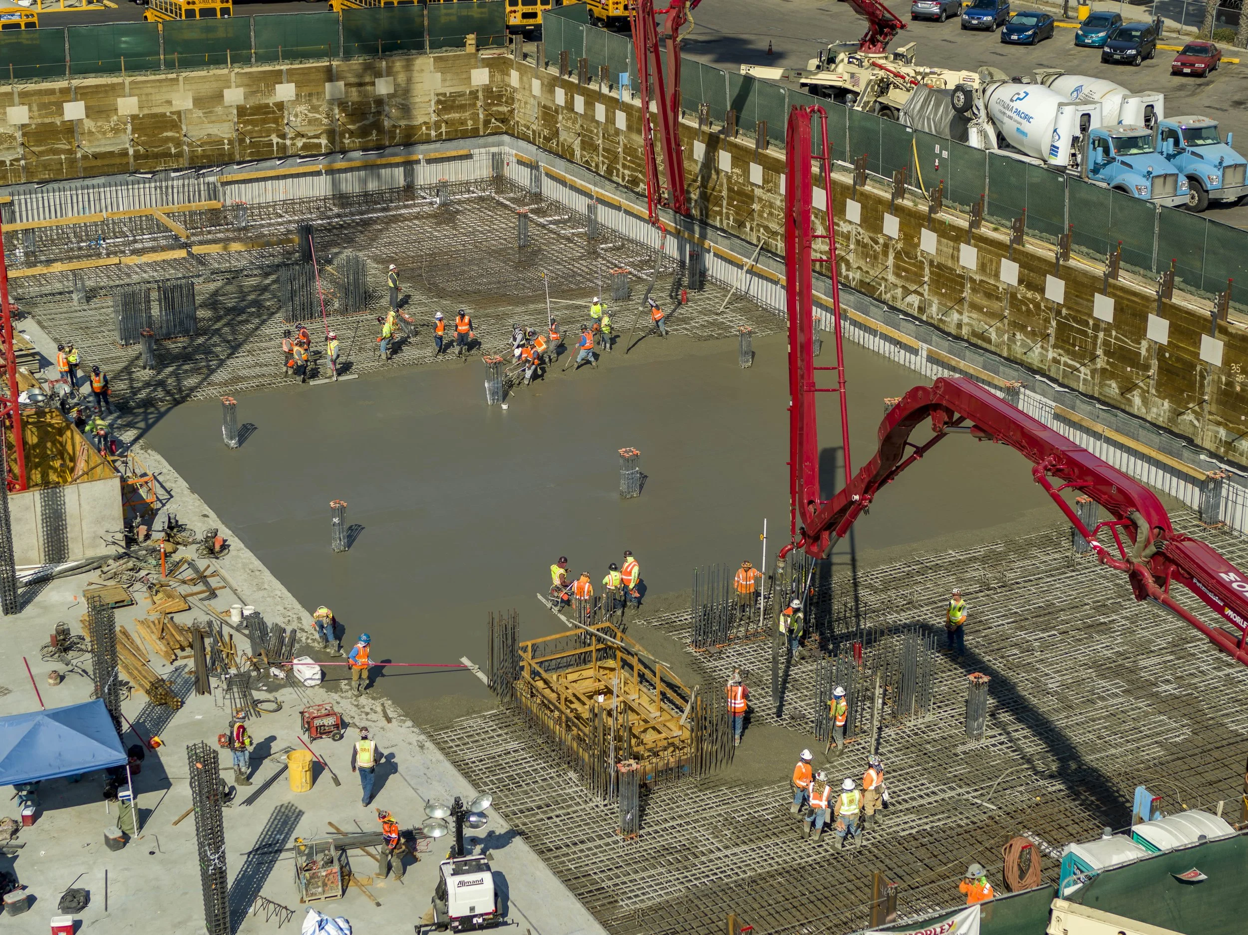
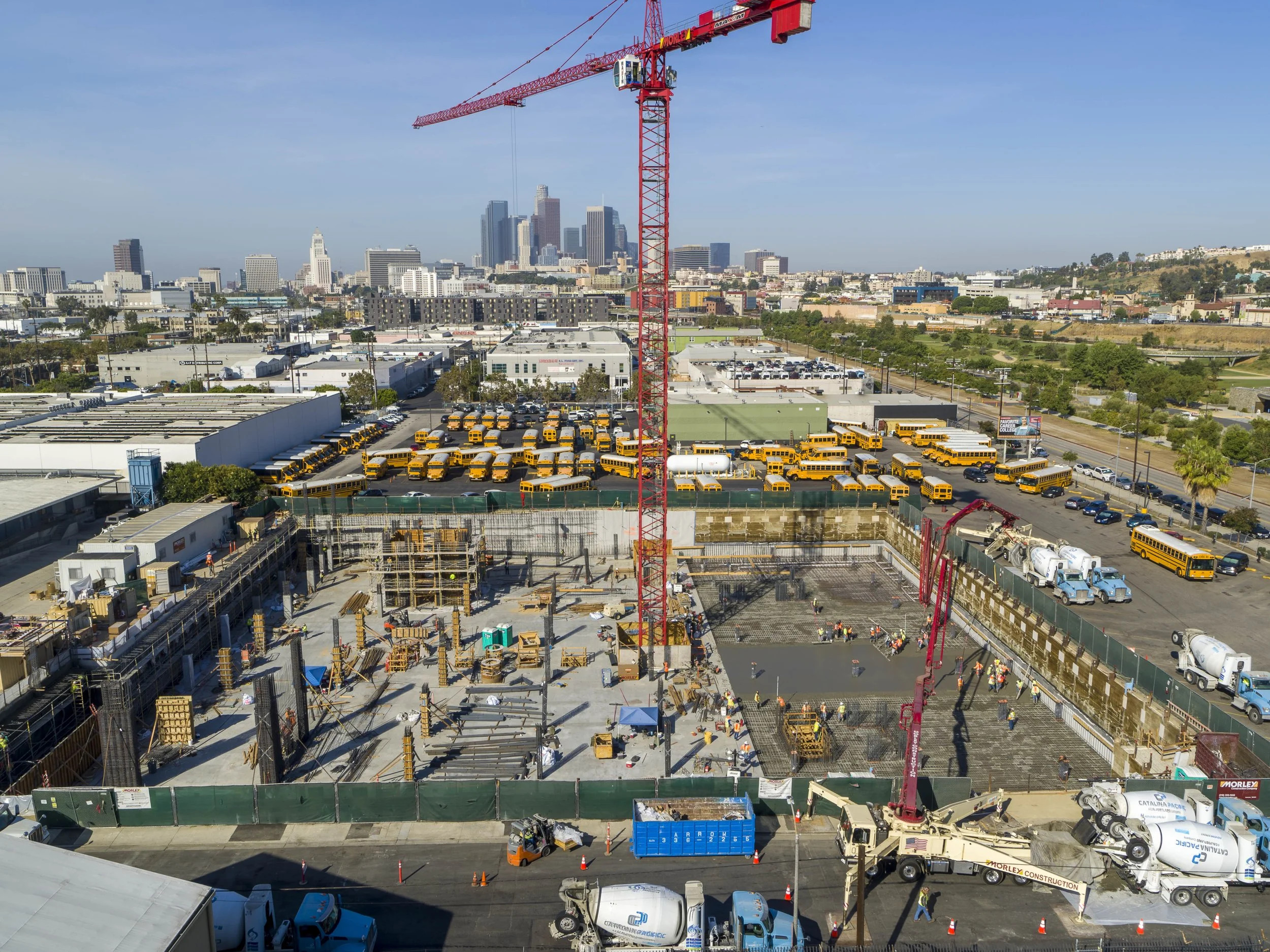
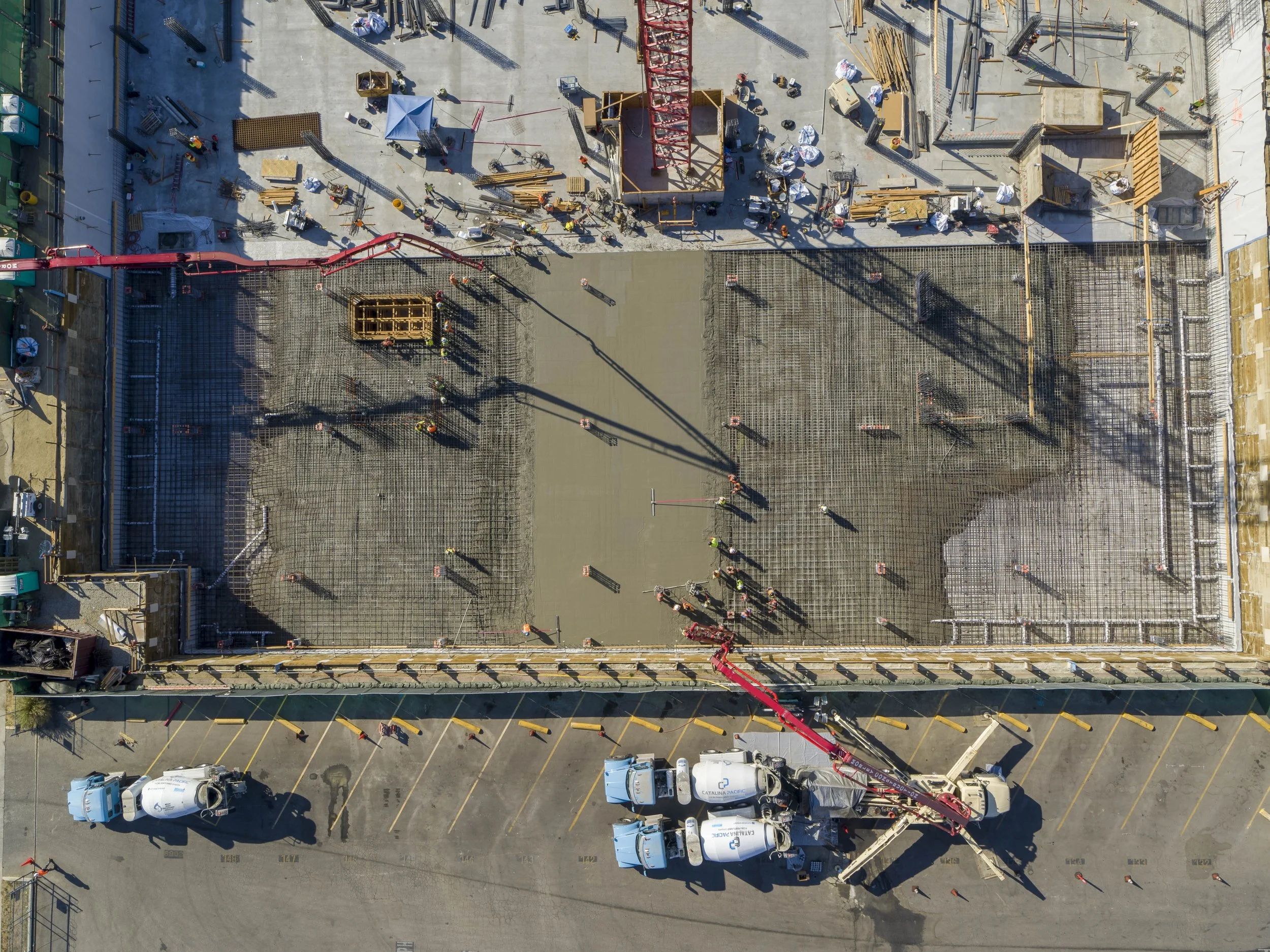
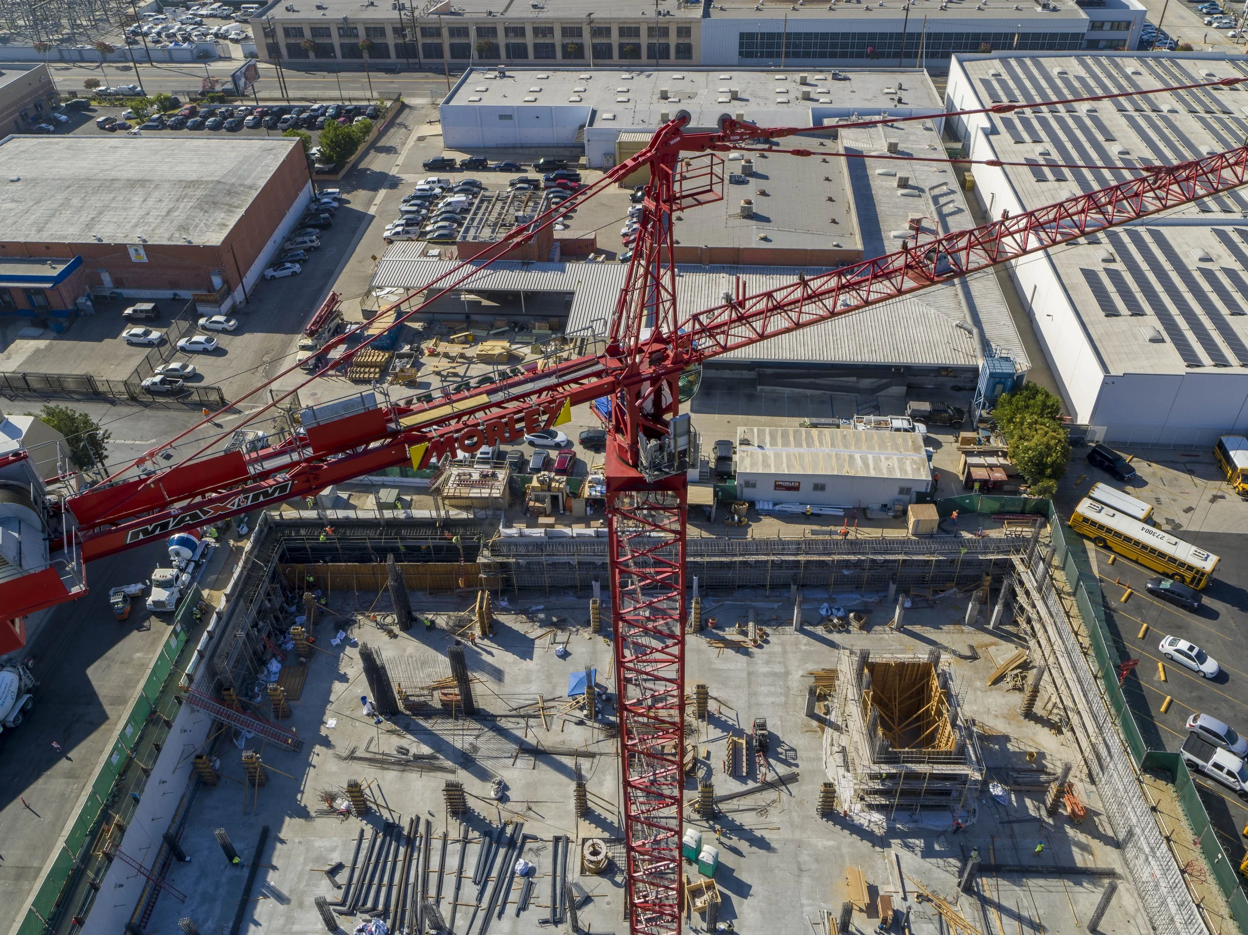
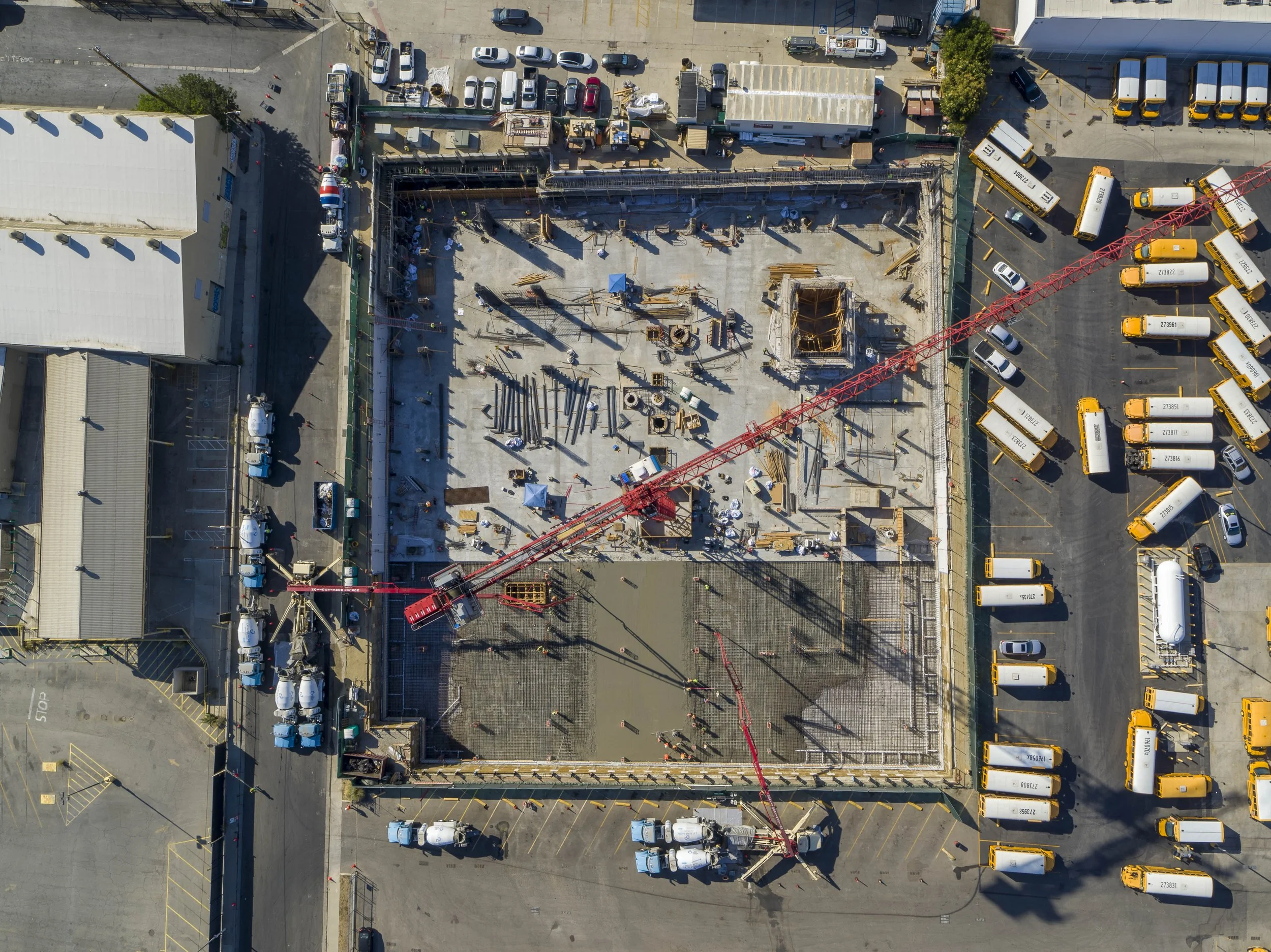
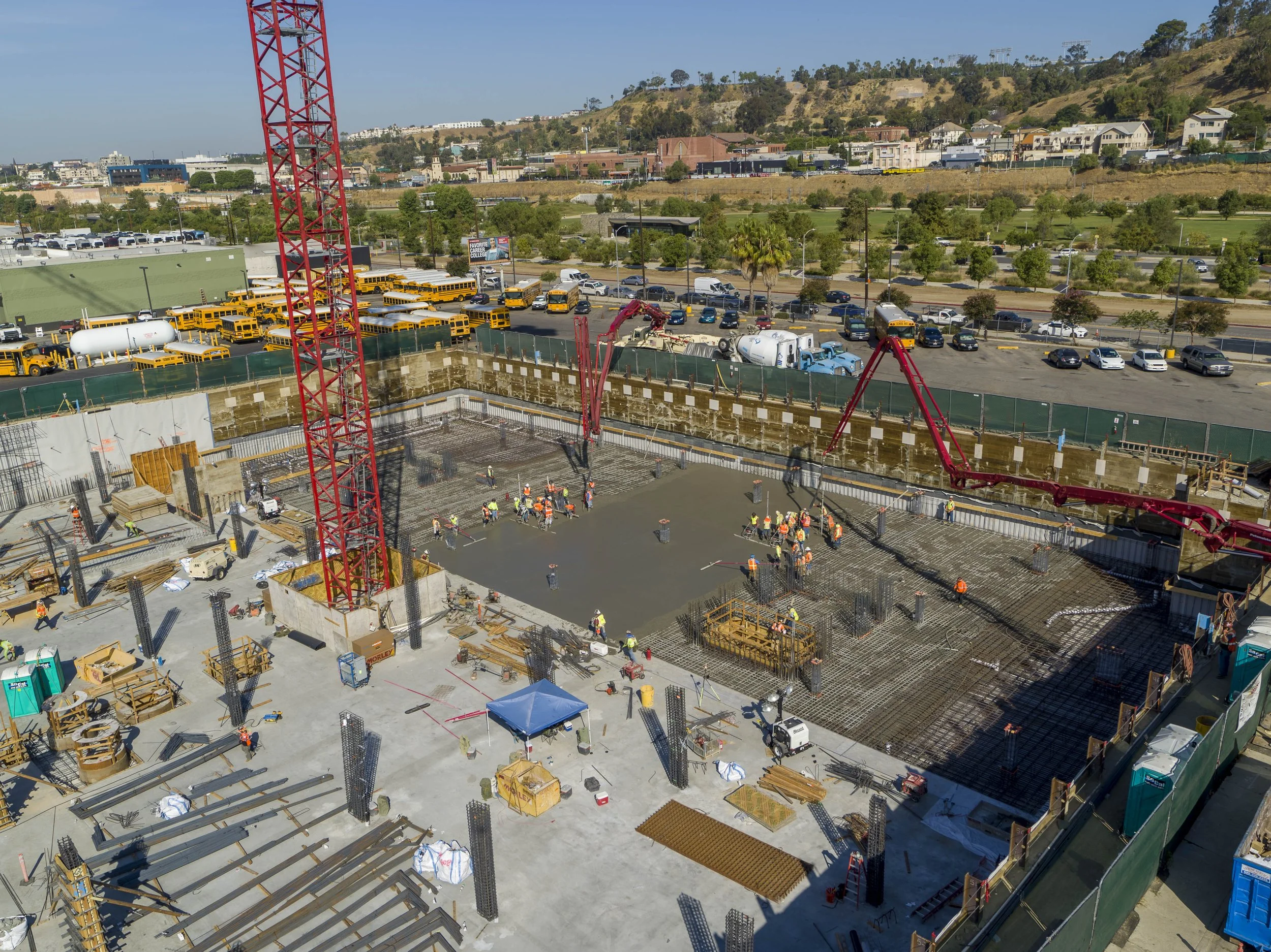
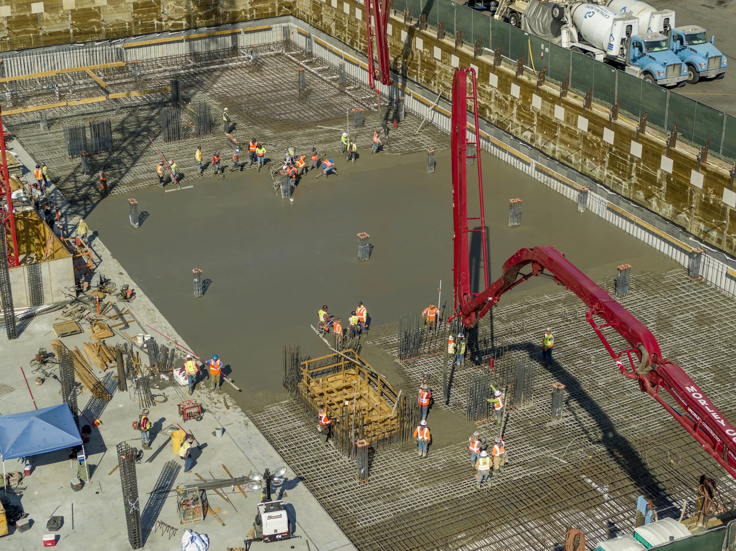
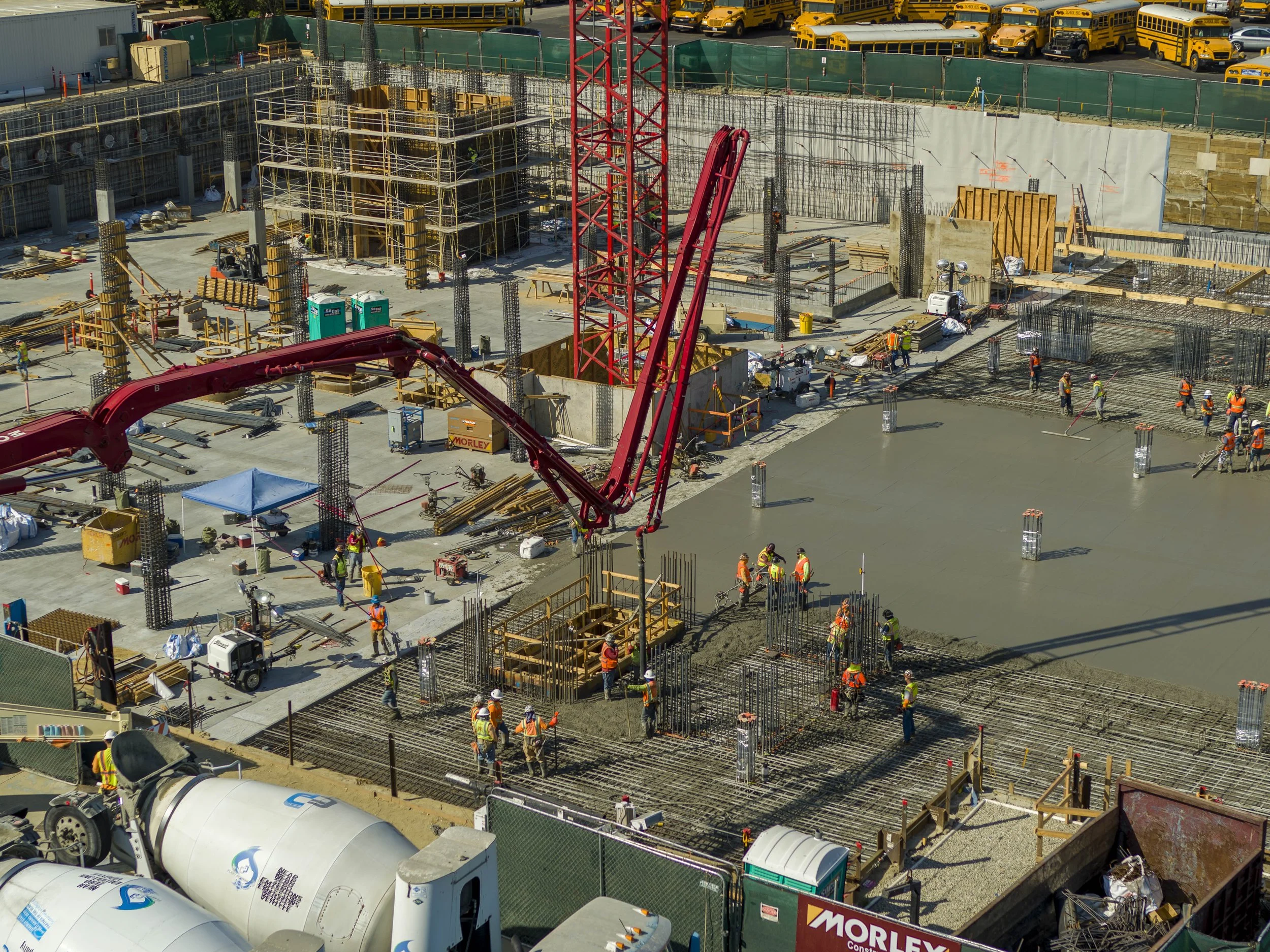
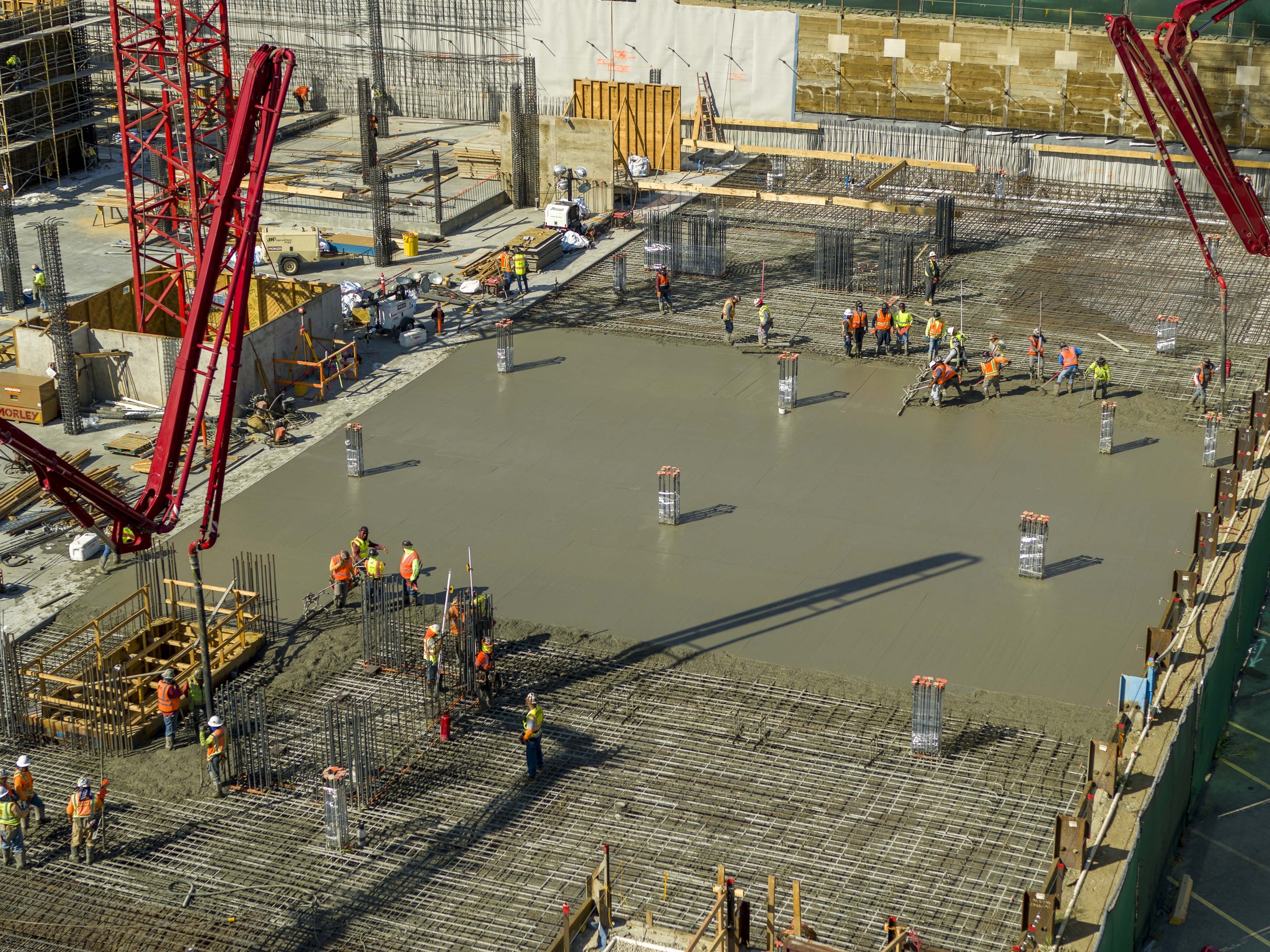
Progress footage, and additional photos/videos of concrete pour100FT


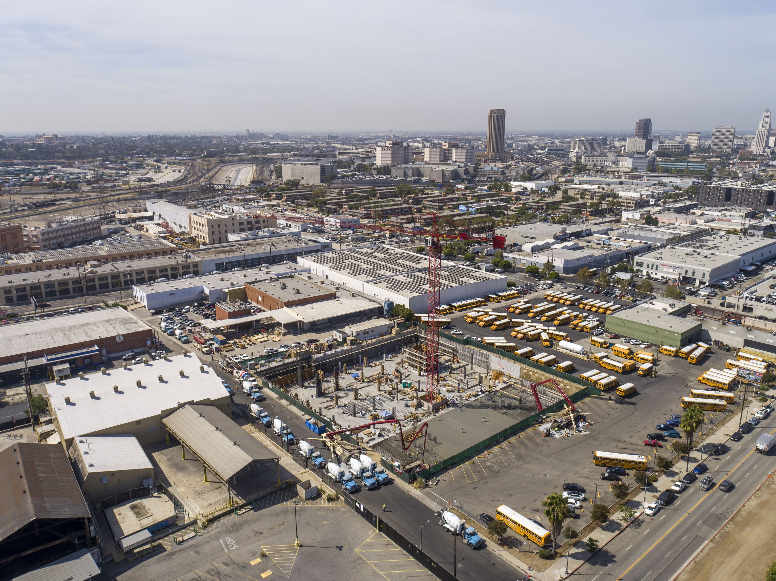
250FT
ADDITIONAL PHOTOS AND VIDEO OF CONCRETE POUR


360 PANOS
VIDEOS
I captured additional orbit that shows the horizon, I think it may be a better option going forward.
MAPPING
Ground control locations
The marked circles contain permanent ground control points that will stay in place for the duration of the project, and to which I’ll be able to tie the imagery to produce maps/models in the correct coordinate system
Entire site from 205ft above ground level
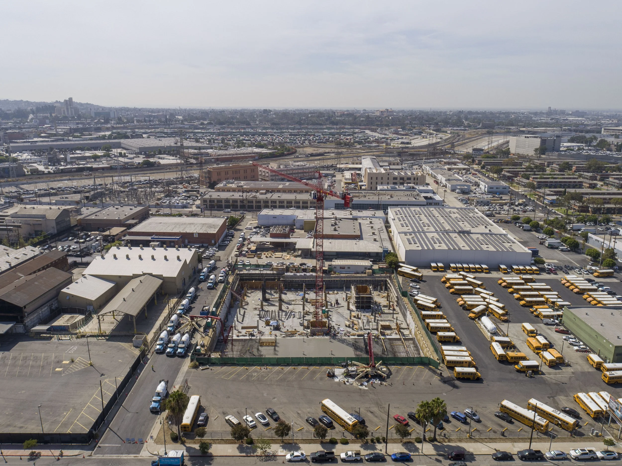
West part from 70ft above ground level (about 100ft above the bottom)