Precision Drone Operations
Los Angeles & Bay Area

What We Do
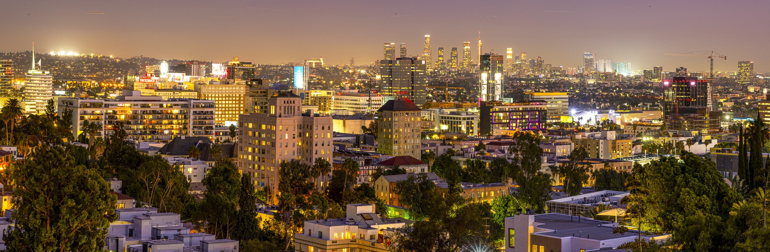
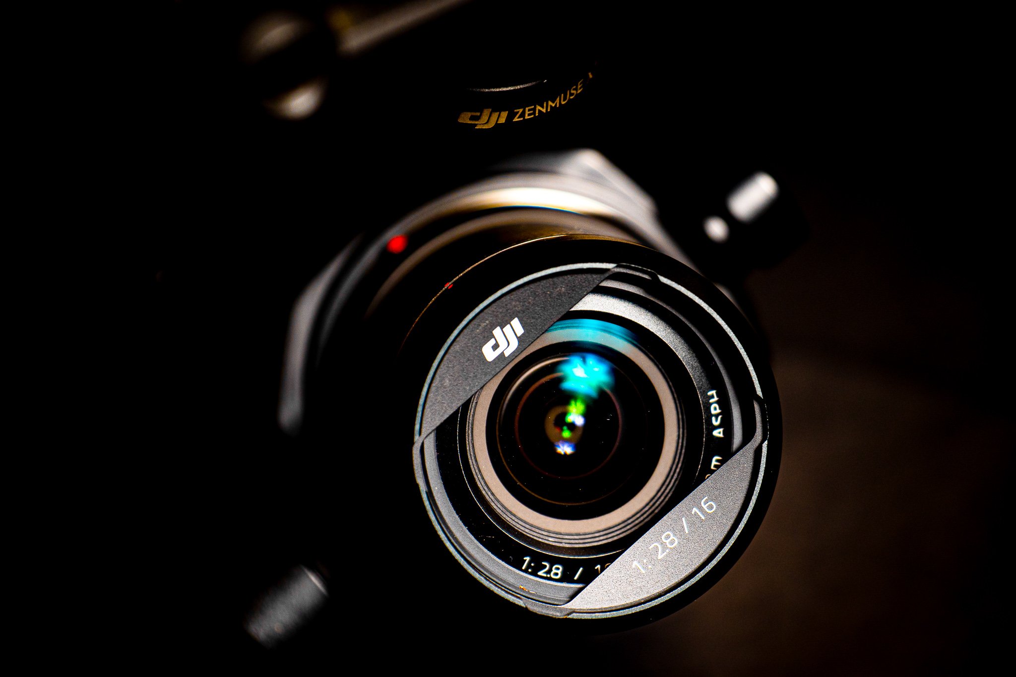
Photo/video capture - aerial/ground/editing
Mapping/3D modeling - LiDAR and photogrammetry
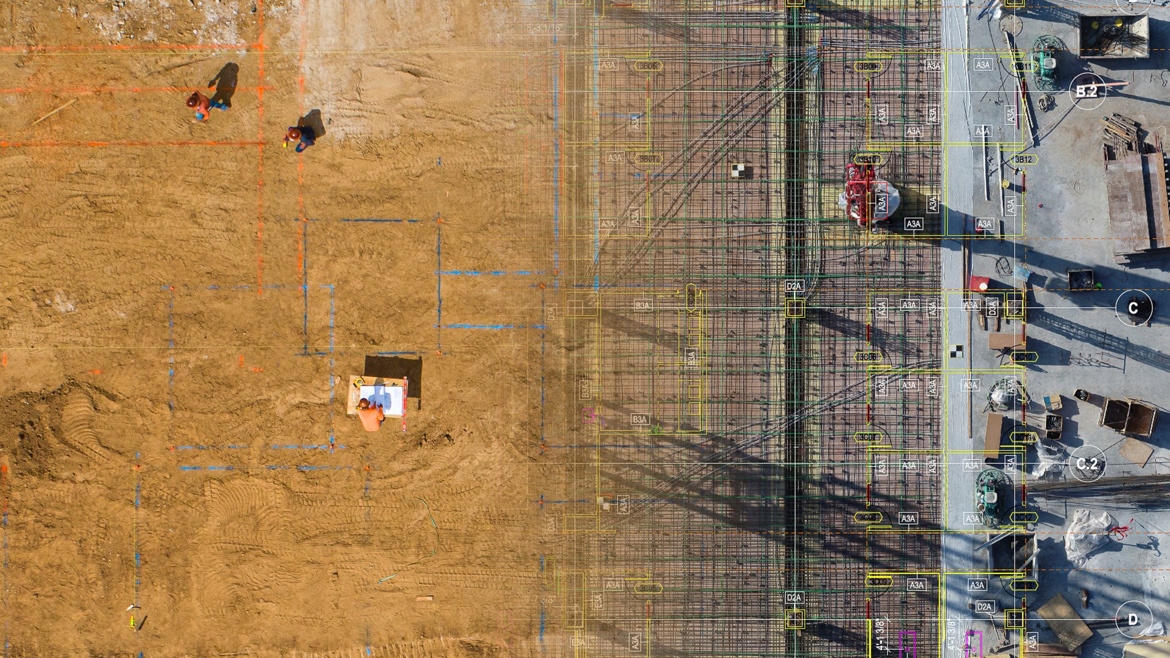
Progress monitoring/visual inspections - automated workflows
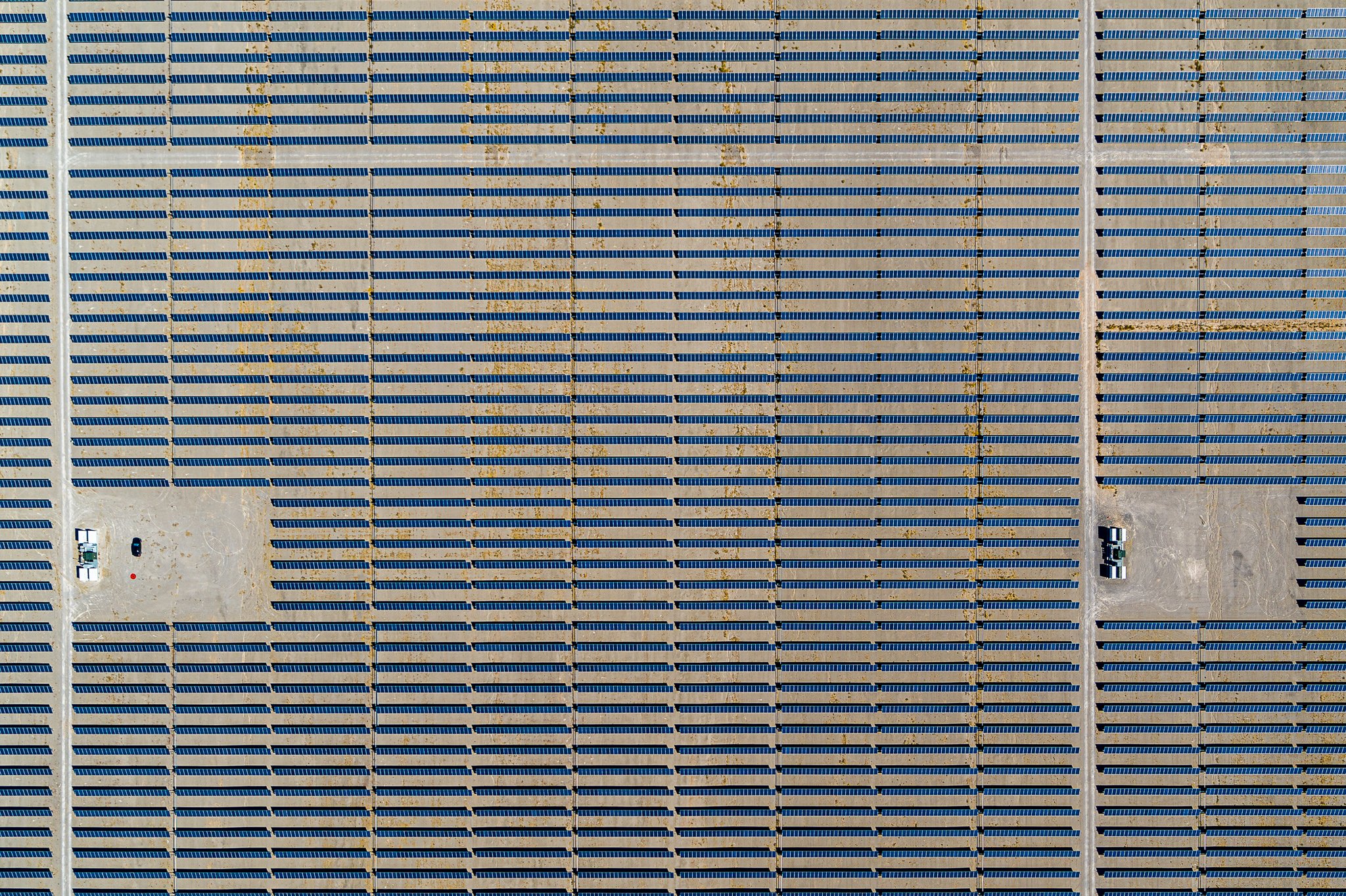
Solar panel inspections
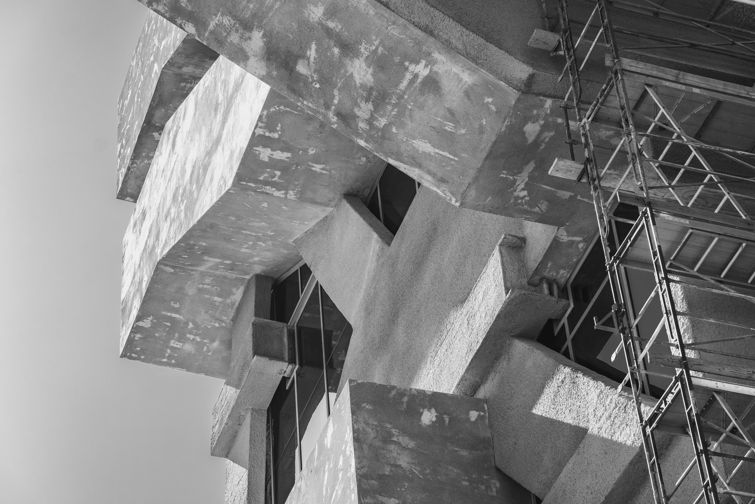
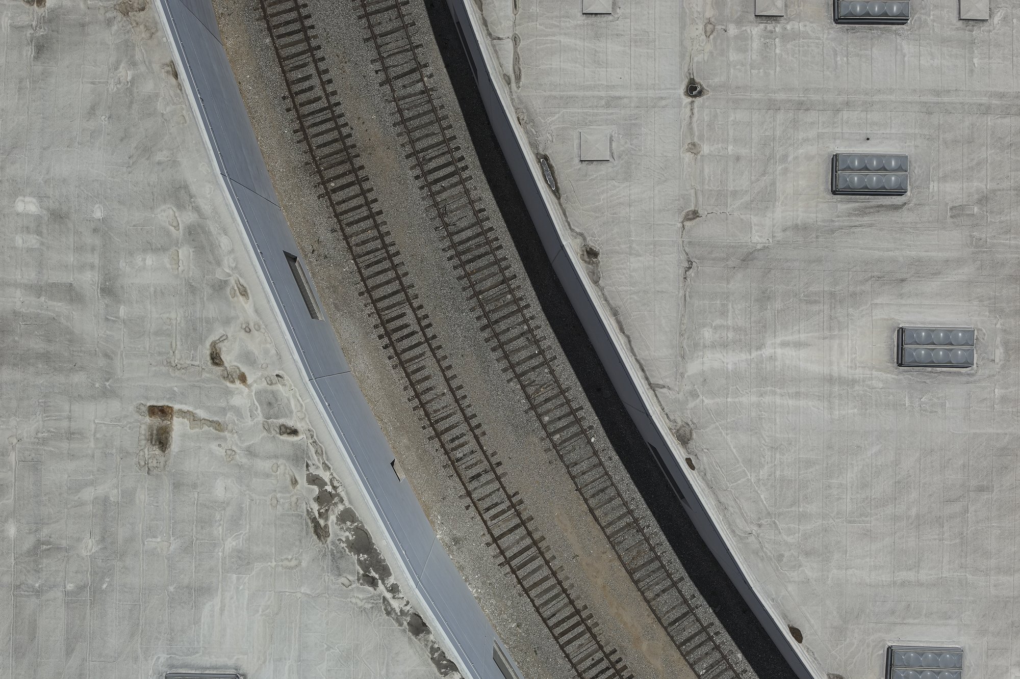
Roof, facade inspections - RGB and thermal
Asset visual portfolios for commercial properties
Land mapping and GIS for real estate
360° Panoramas, time lapses, and virtual tours
HDR - High Dynamic Range photography
Aerial Cinematography