February 23, 2022

PRICING
The pricing is for this specific project. You can mix/match the items based on your specific needs.
PROGRESS PHOTOS & TWO VIDEOS - $200/Visit
EDITED VIDEO - ADD $100
360 PANORAMAS - ADD $100
HDR - ADD $50
MAPPING - ADD $150
PT cable scanning will require separate quote but if we capture the progress images at the same time 50% discount will be applied to all prices on this page.
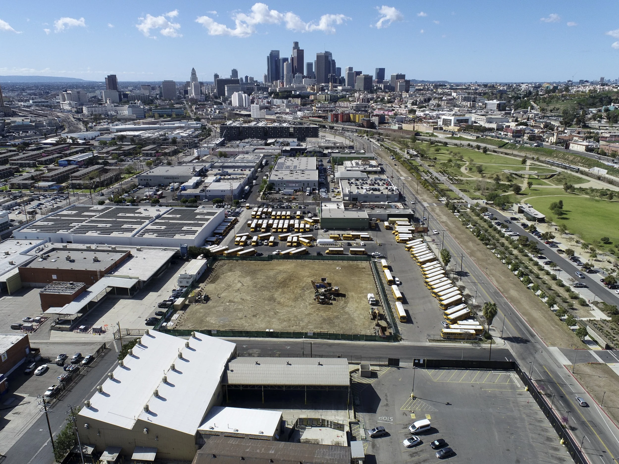
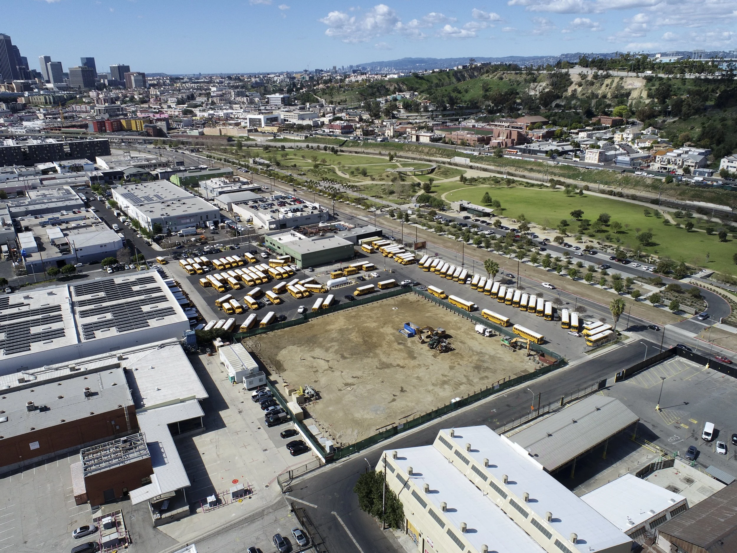
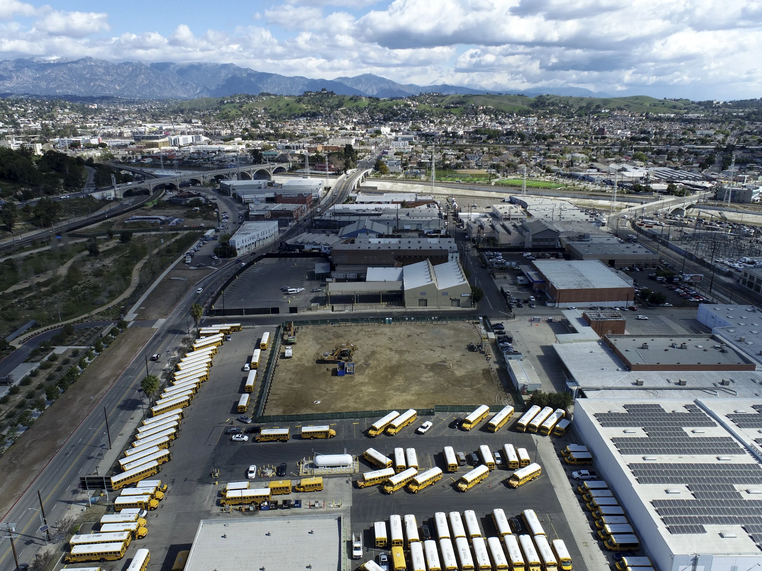
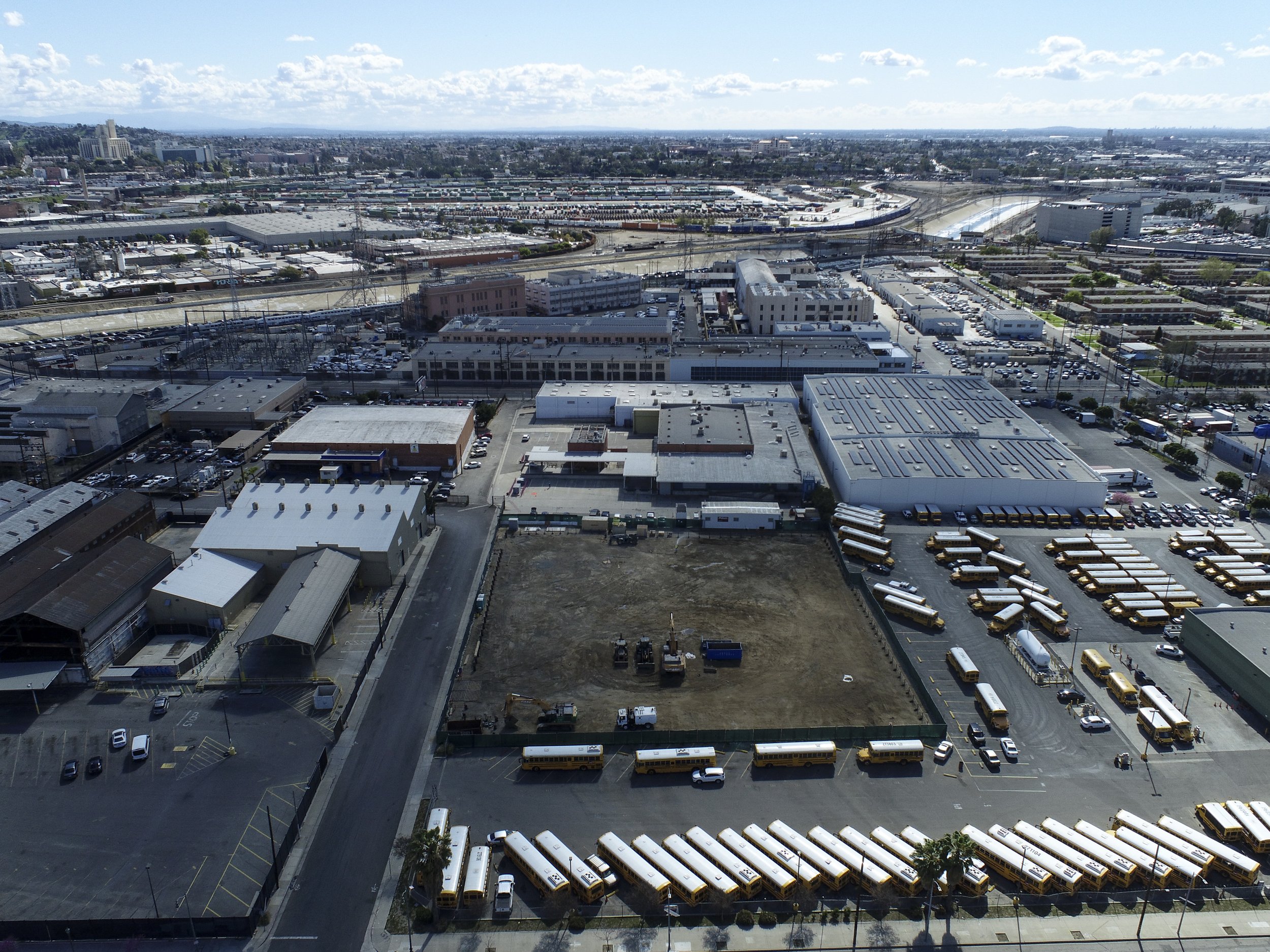
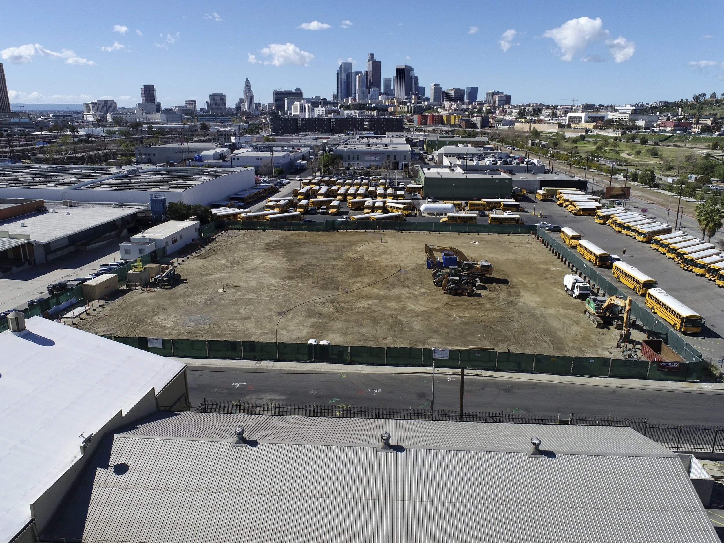
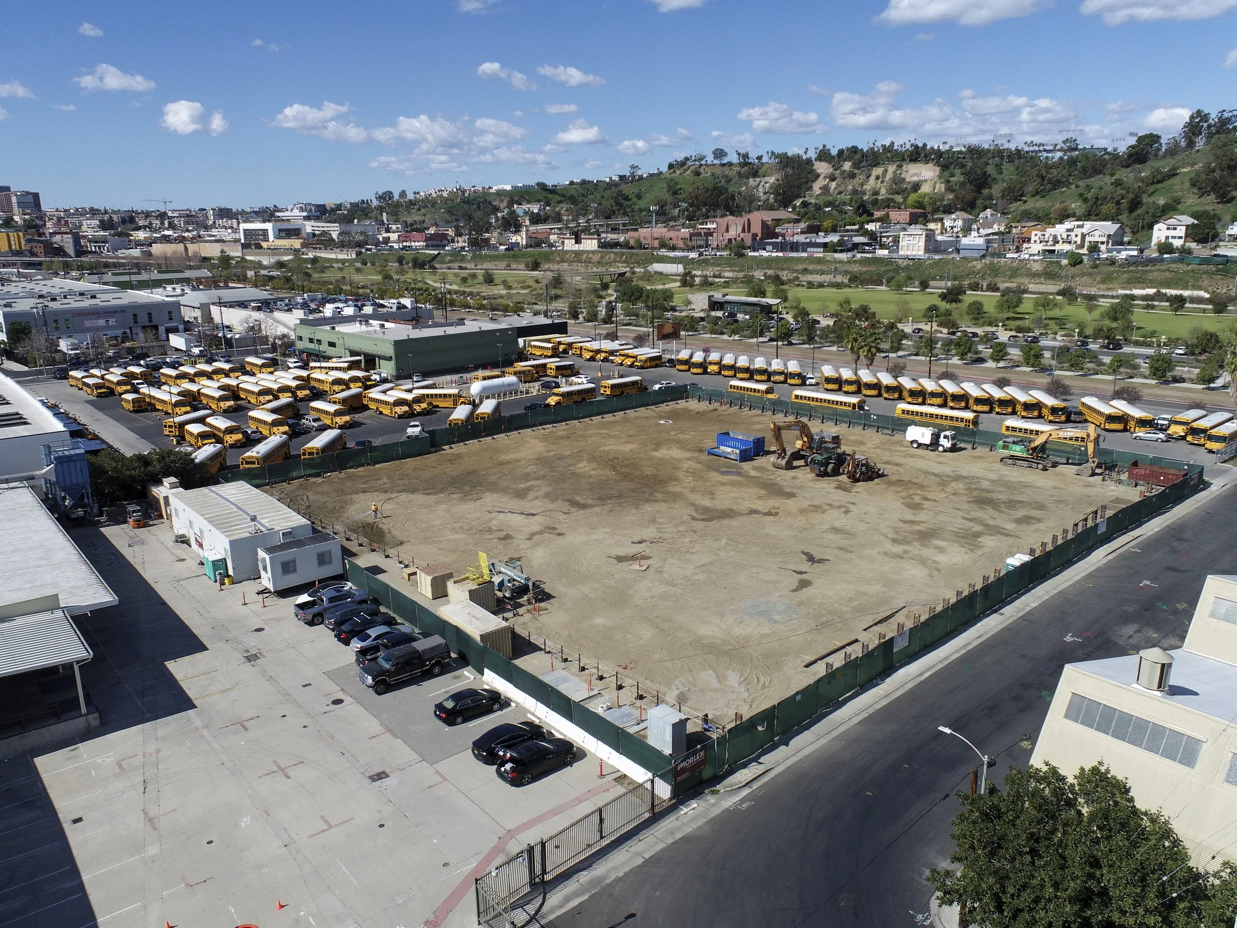
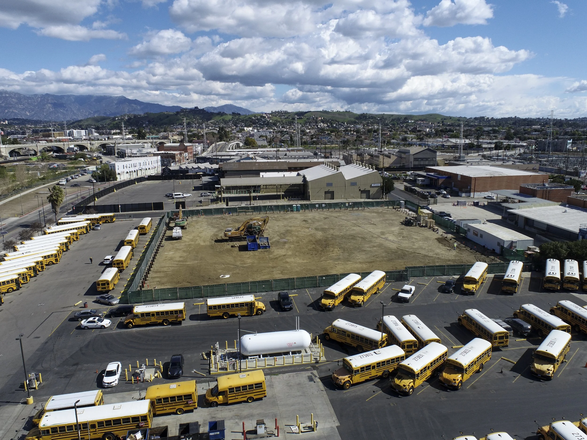
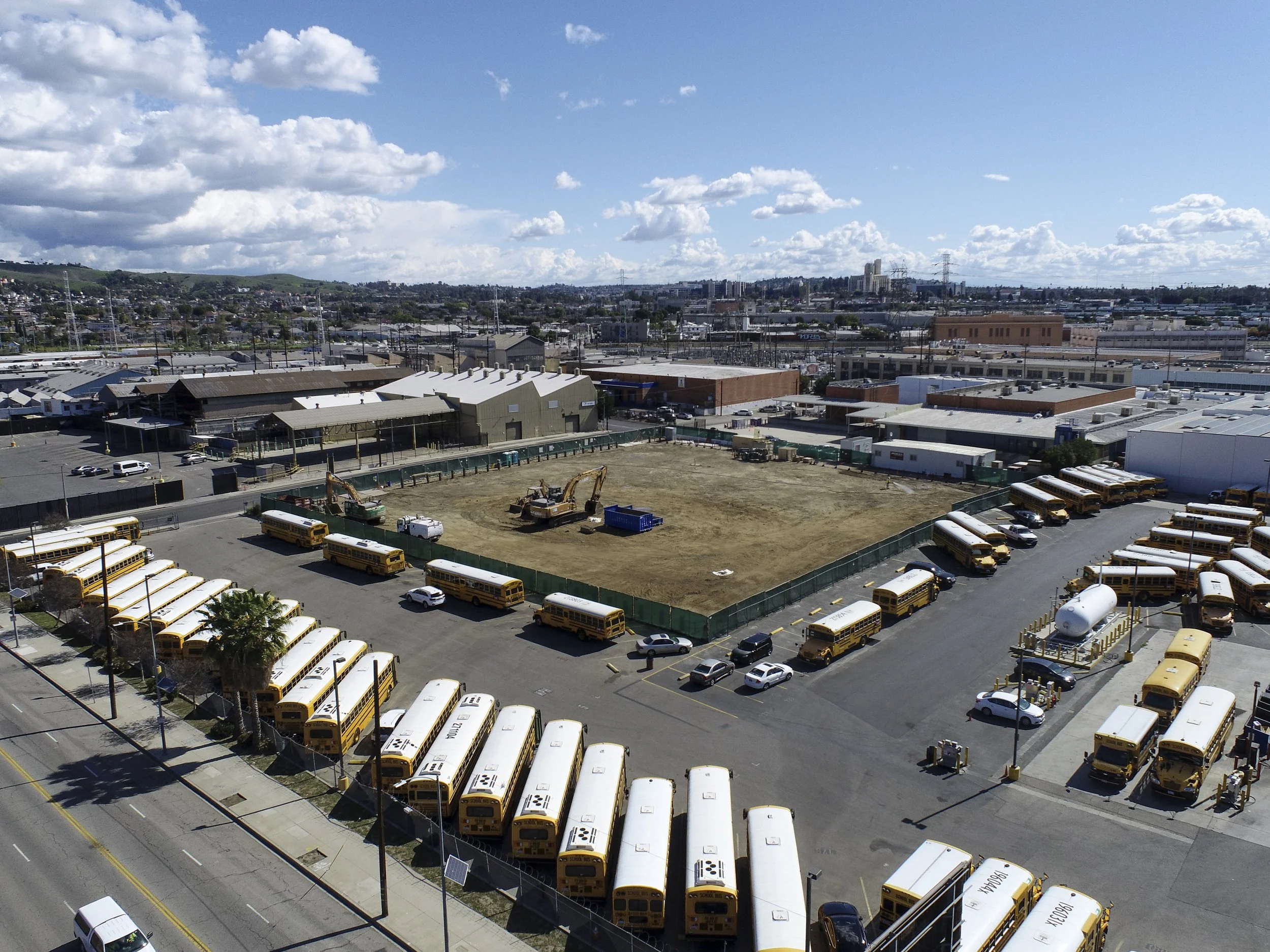
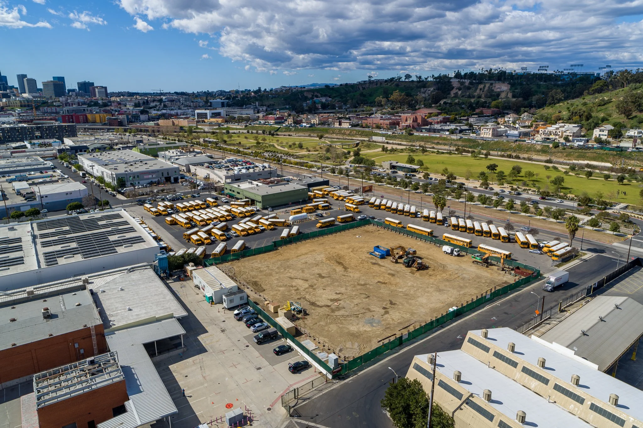
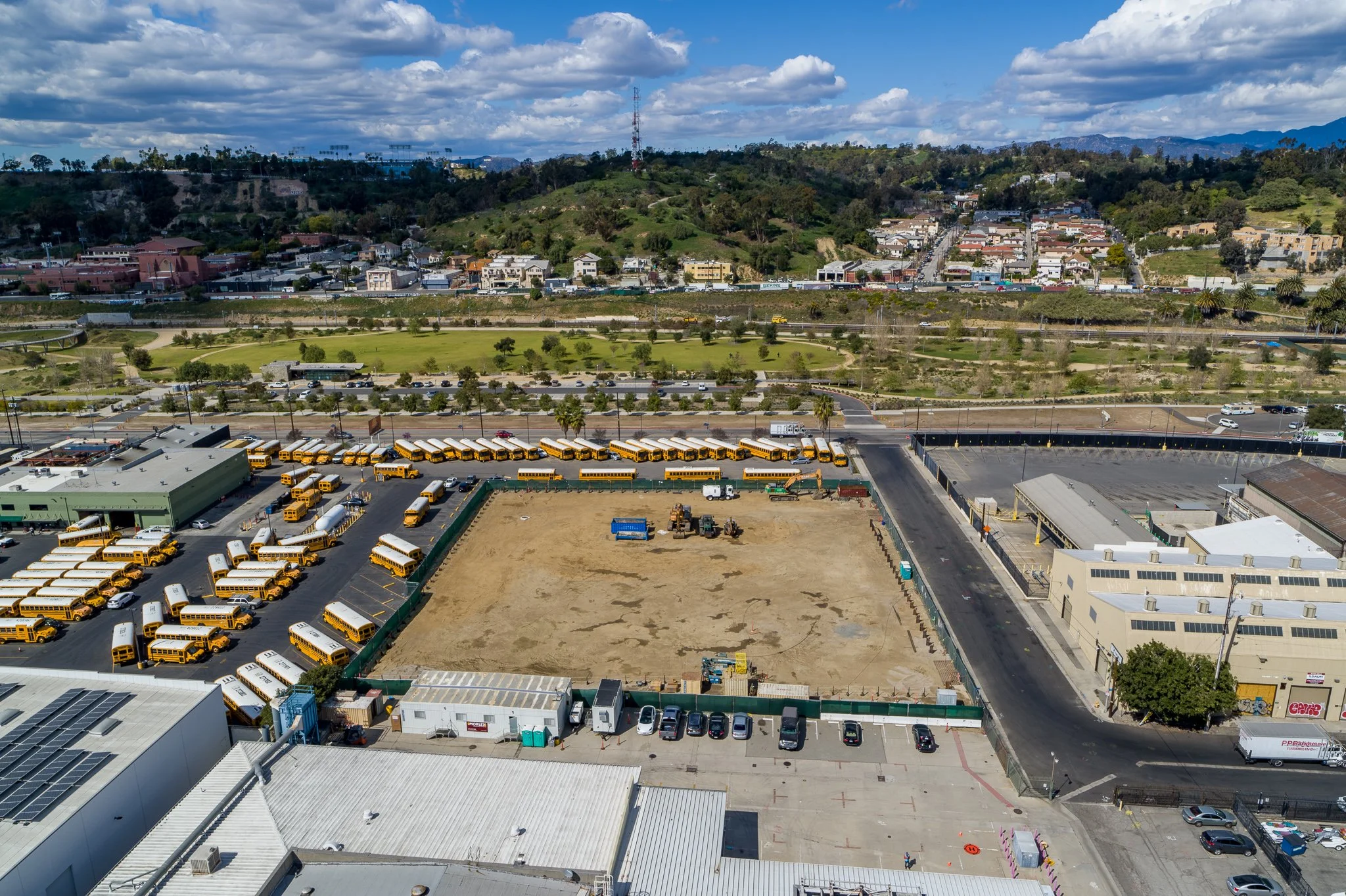
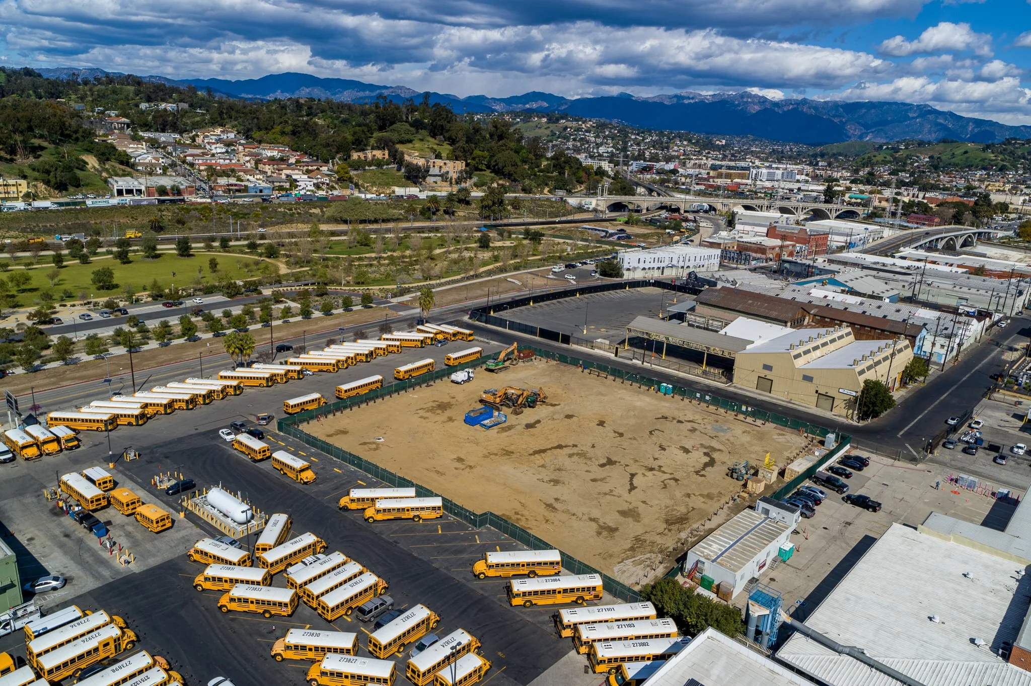
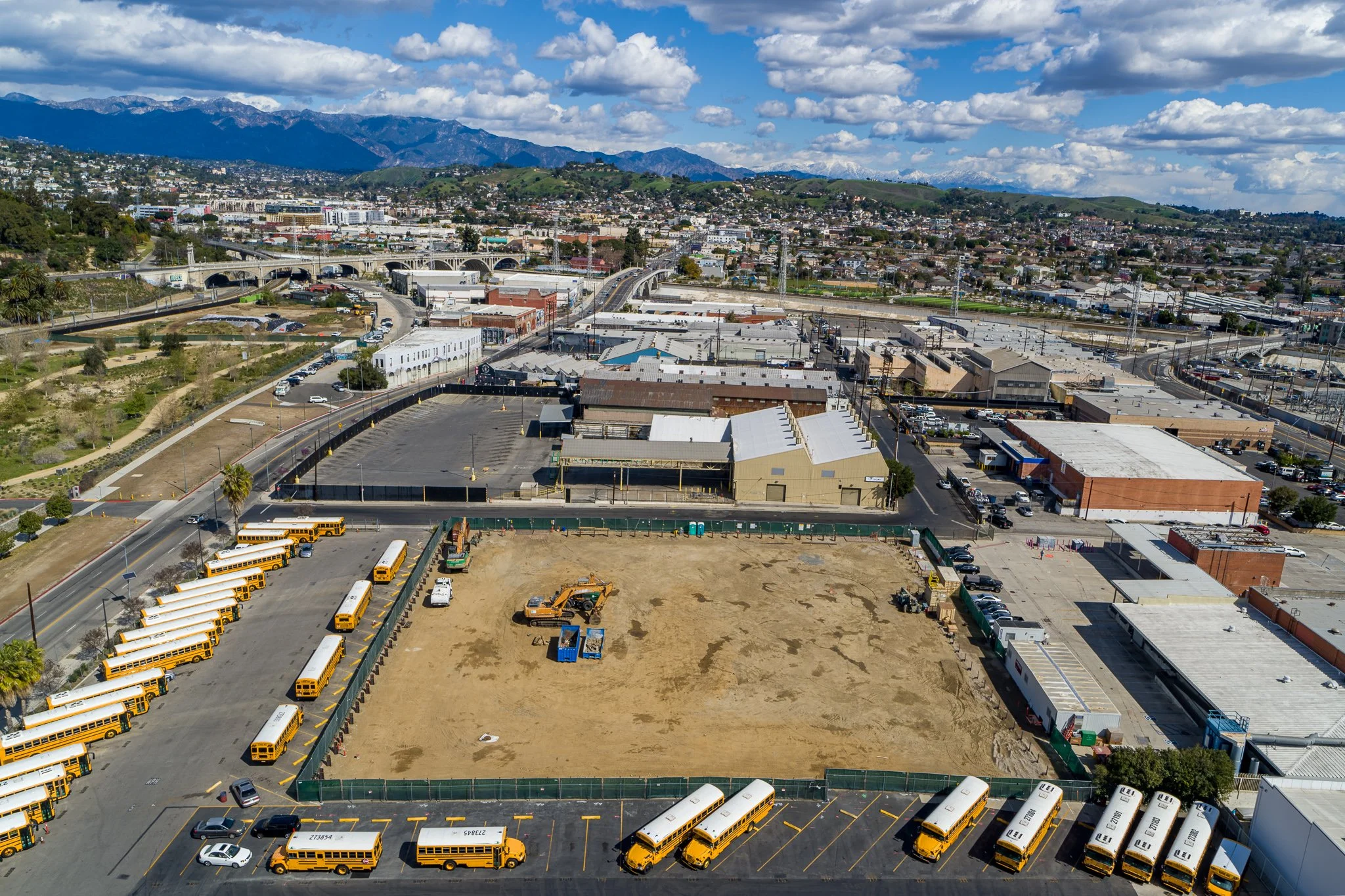
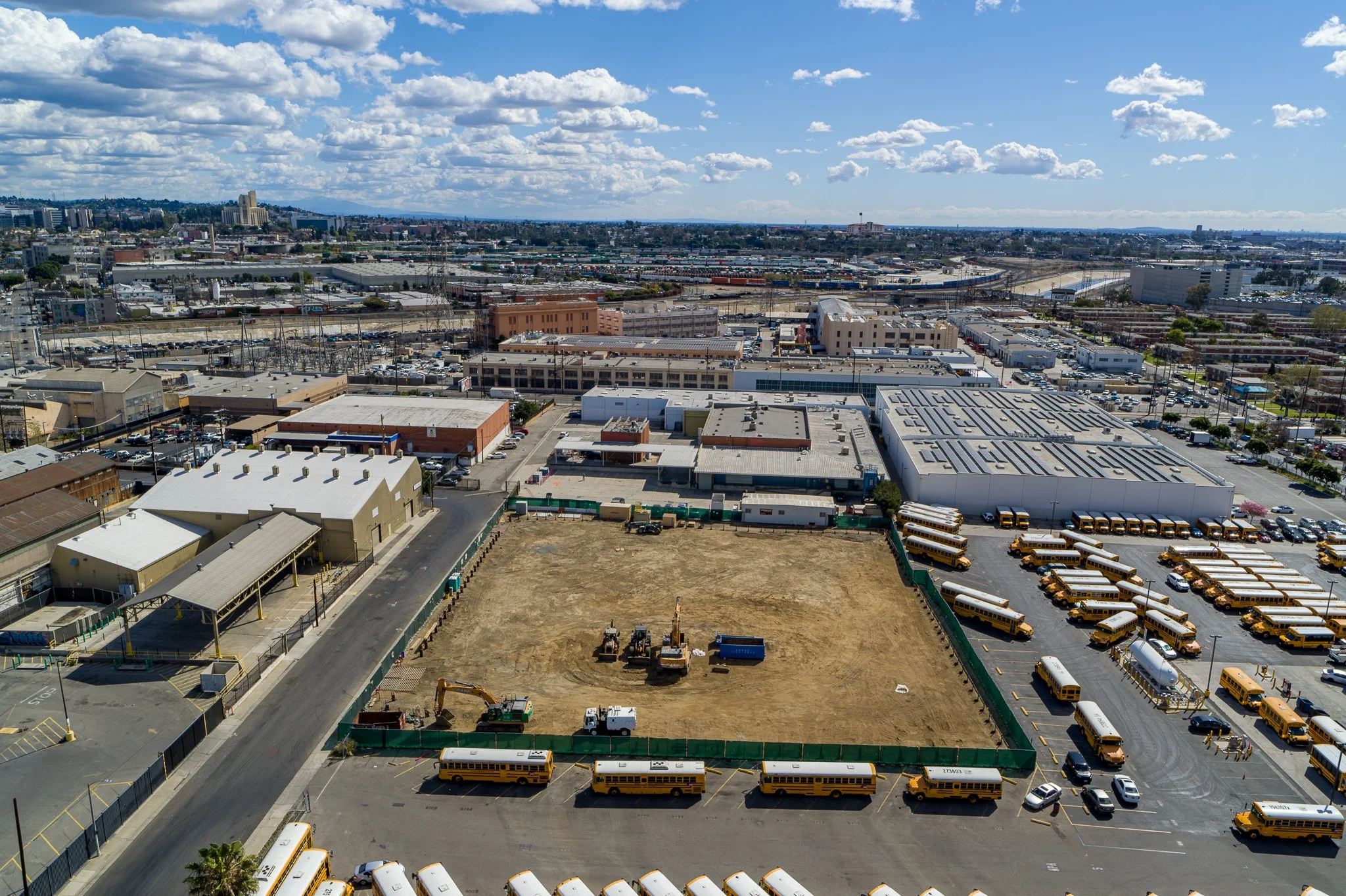
Progress photos at 100ft
CARDINAL DIRECTIONS AT 100FT ABOVE GROUND LEVEL - AGL


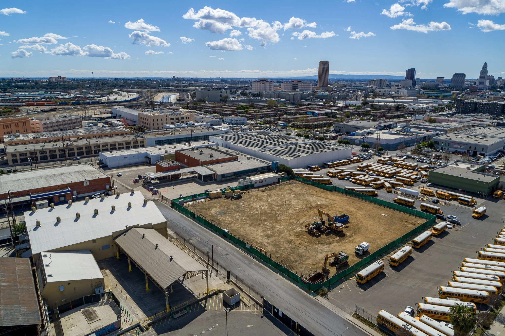
Progress photos at 300ft


Two videos
Orbit shot at 250ft
Dolly at 100
Edited Video - about 60sec - $100
Progress photos in HDR - $50
HDR (High Dynamic Range) images can be also provided for additional fee. The images below are captured with a DJI Inspire 2 drone and 24MP X7 camera. HDR images provide more realistic color saturation and shade/highlights reproduction. It allows for more immersive viewing experience especially on HDR-enabled displays. This may be a good option for the finished product or when the highest visual quality is important.


360 panorama Virtual tour - $100
Includes 3 separate 360 panoramas combined into a virtual tour. The photos will be captured from the same spot each time for consistency.
MAPPING - $150
Includes:
orthomosaic tiff image
point cloud- .las, .xyz
3D model - .obj
jpeg, and pdf
The map does not include ground control. While global accuracy is not as high as using RTK/PPK methods, relative point to point measurements are still very accurate and can be useful for verification.

For full functionality, DroneDeploy account is required