4204 Glencoe
100ft


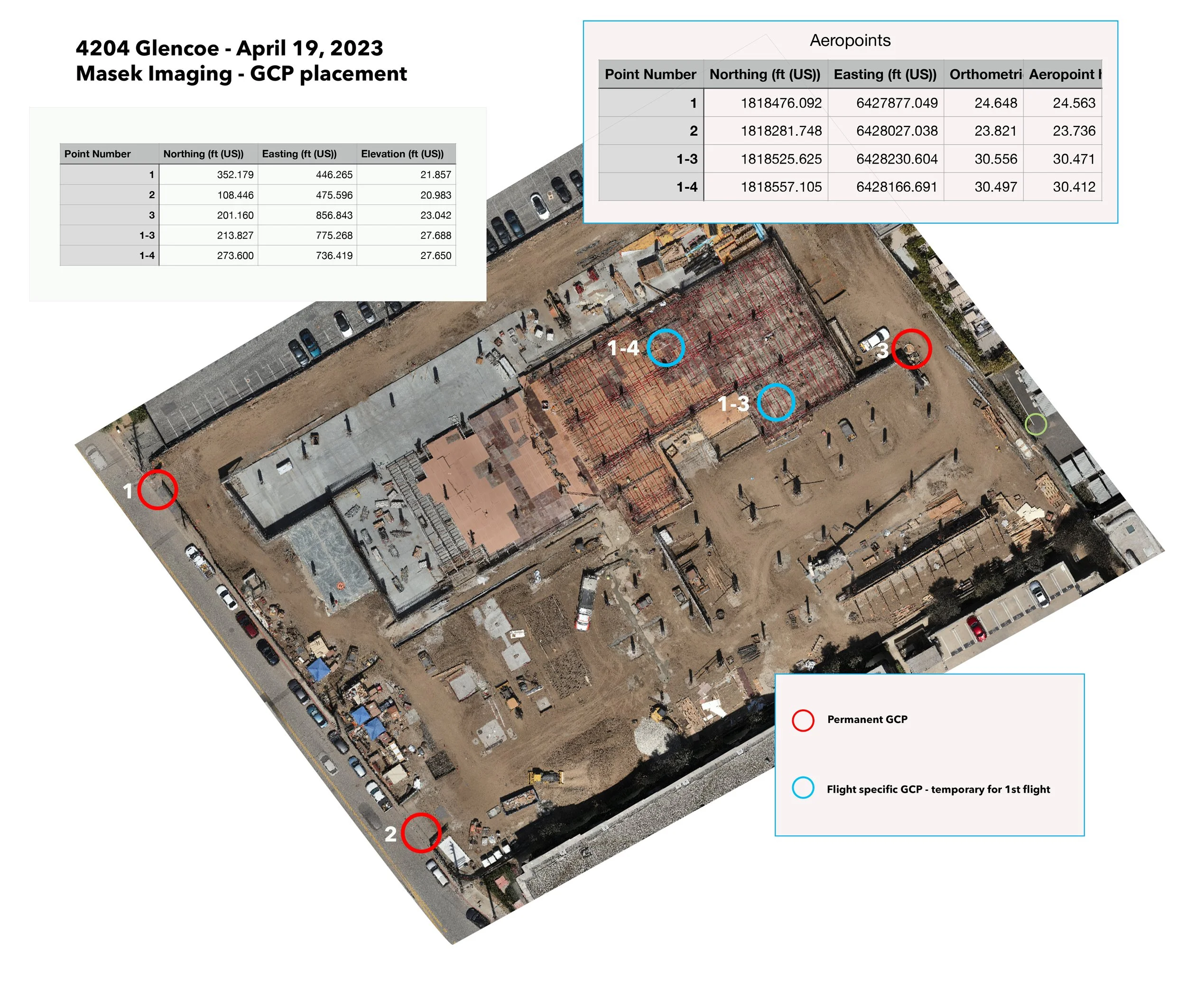
GCP
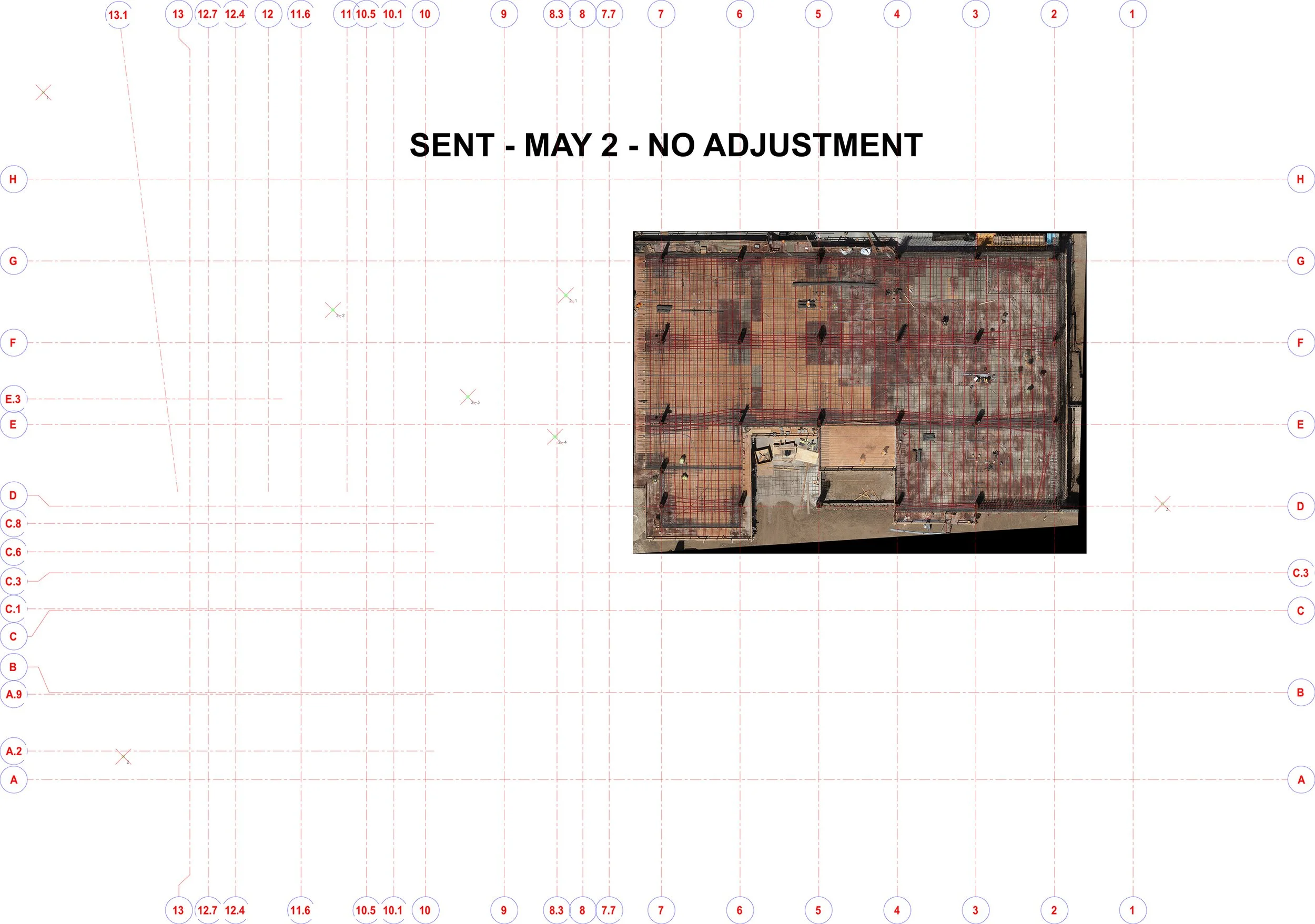
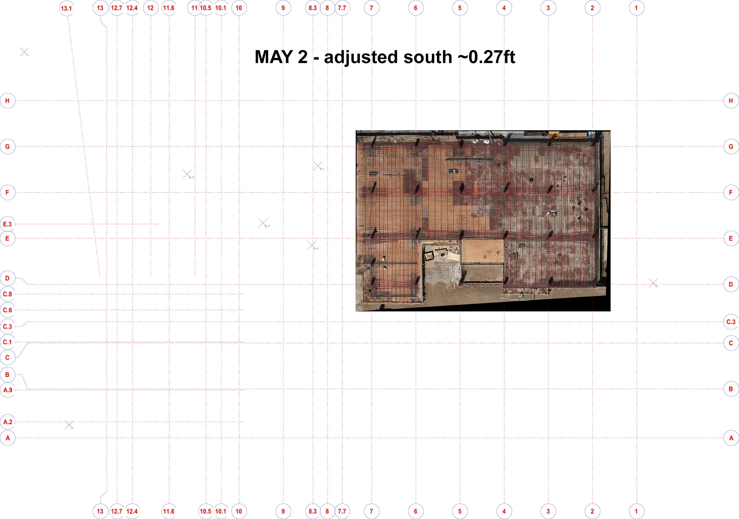
May 2 - UPDATE
On May 2, I sent out a version of the map without using any ground control, just using RTK data, and translating to the local system . The reason is distortion when permanent points were used (1,2,3) - The images below show two versions. I suggested to use the shifted version. The map should be accurate to ~0.1ft with RTK.