
Commercial property example photos
Multiple building
Commercial properties with multiple buildings can be treated as one unit, see example below, or photographed as each separate building. Depending on the size of the area, it may be necessary to adjust angles, add photos, or use panoramas to capture the required area.
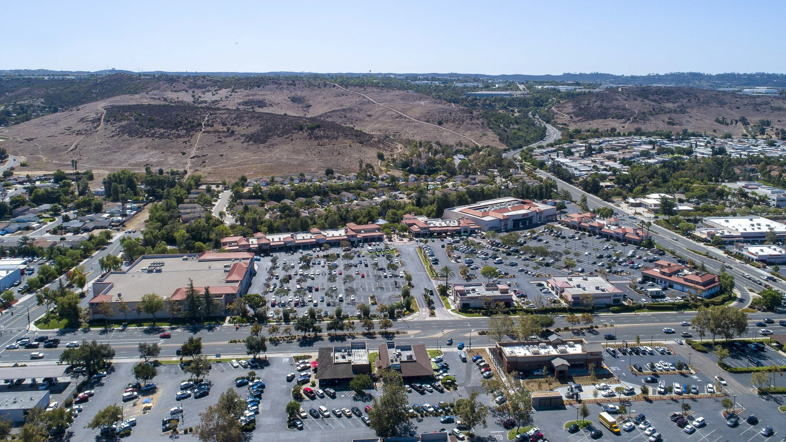
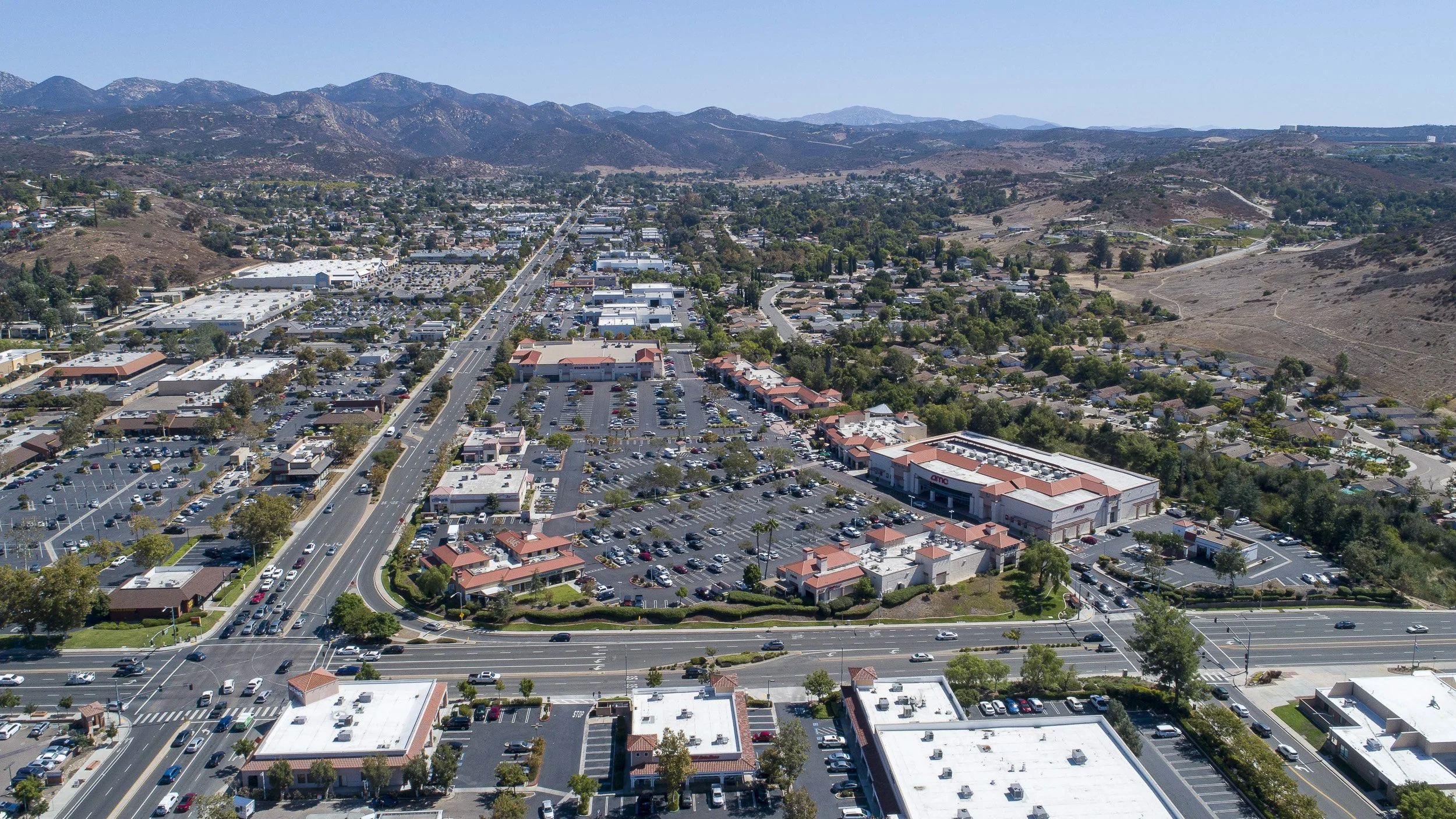
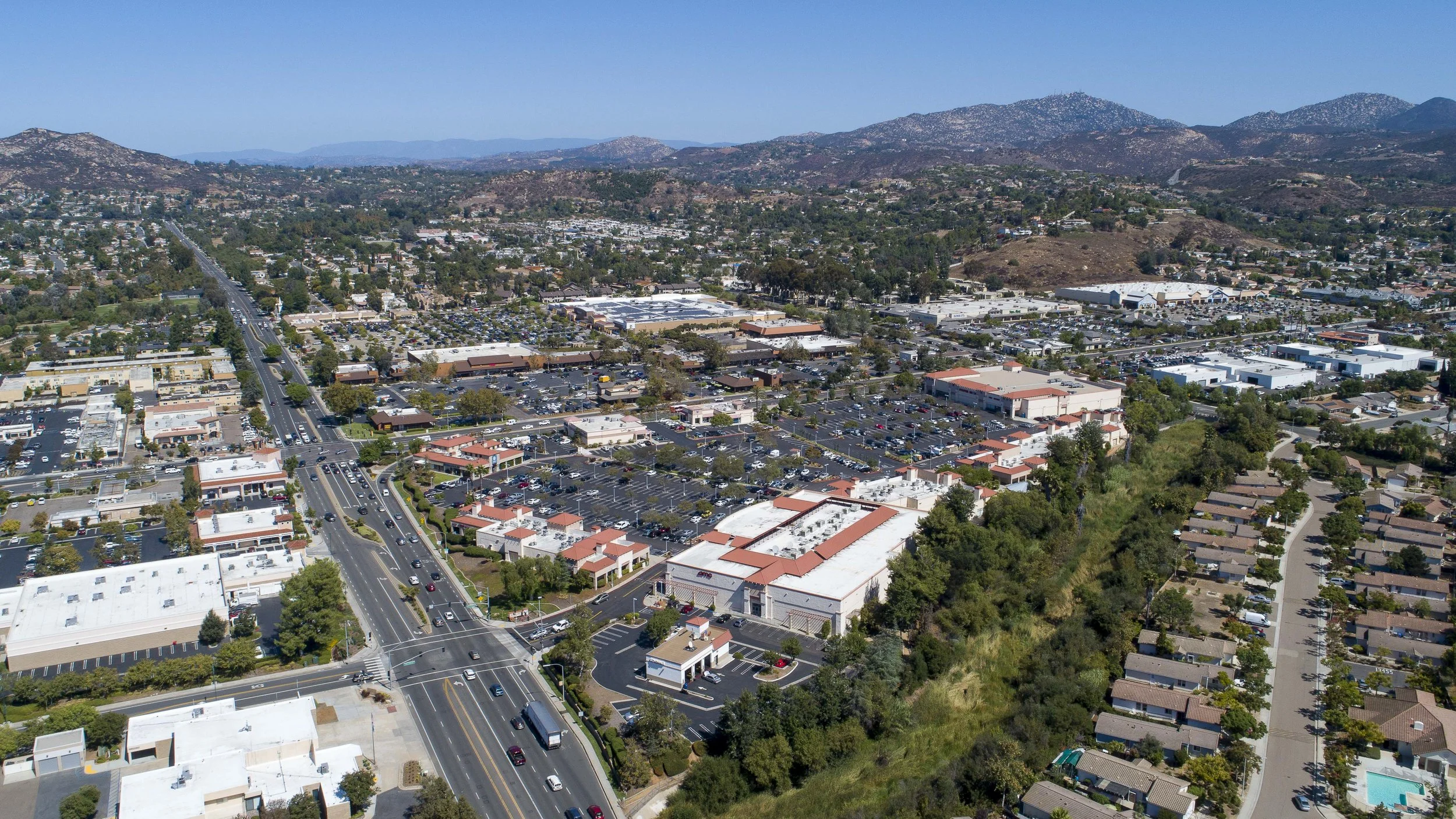
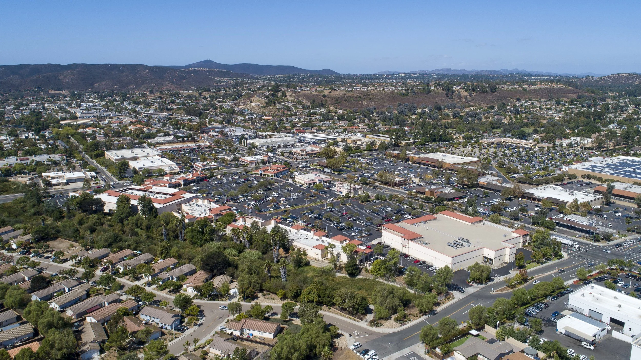
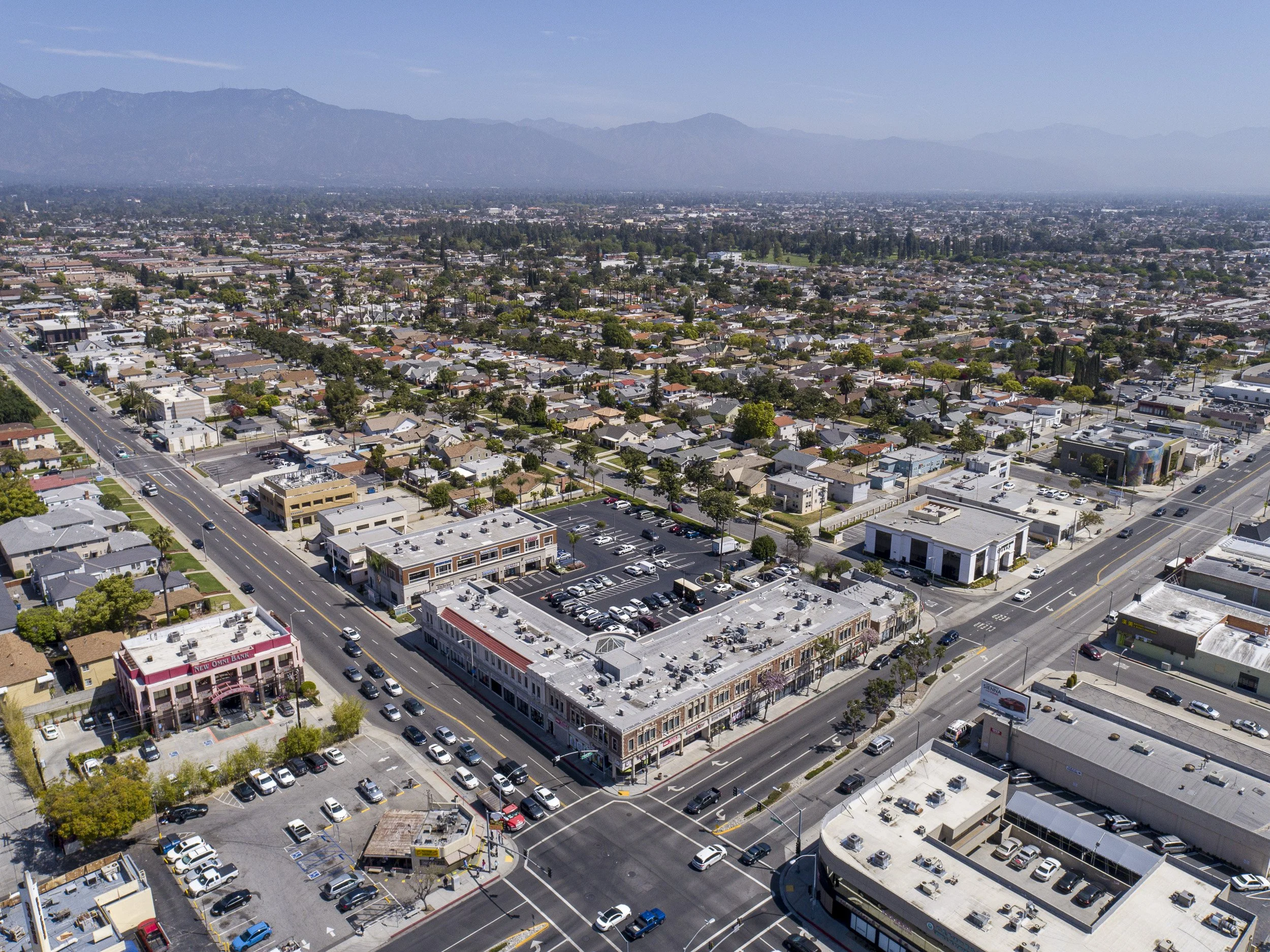
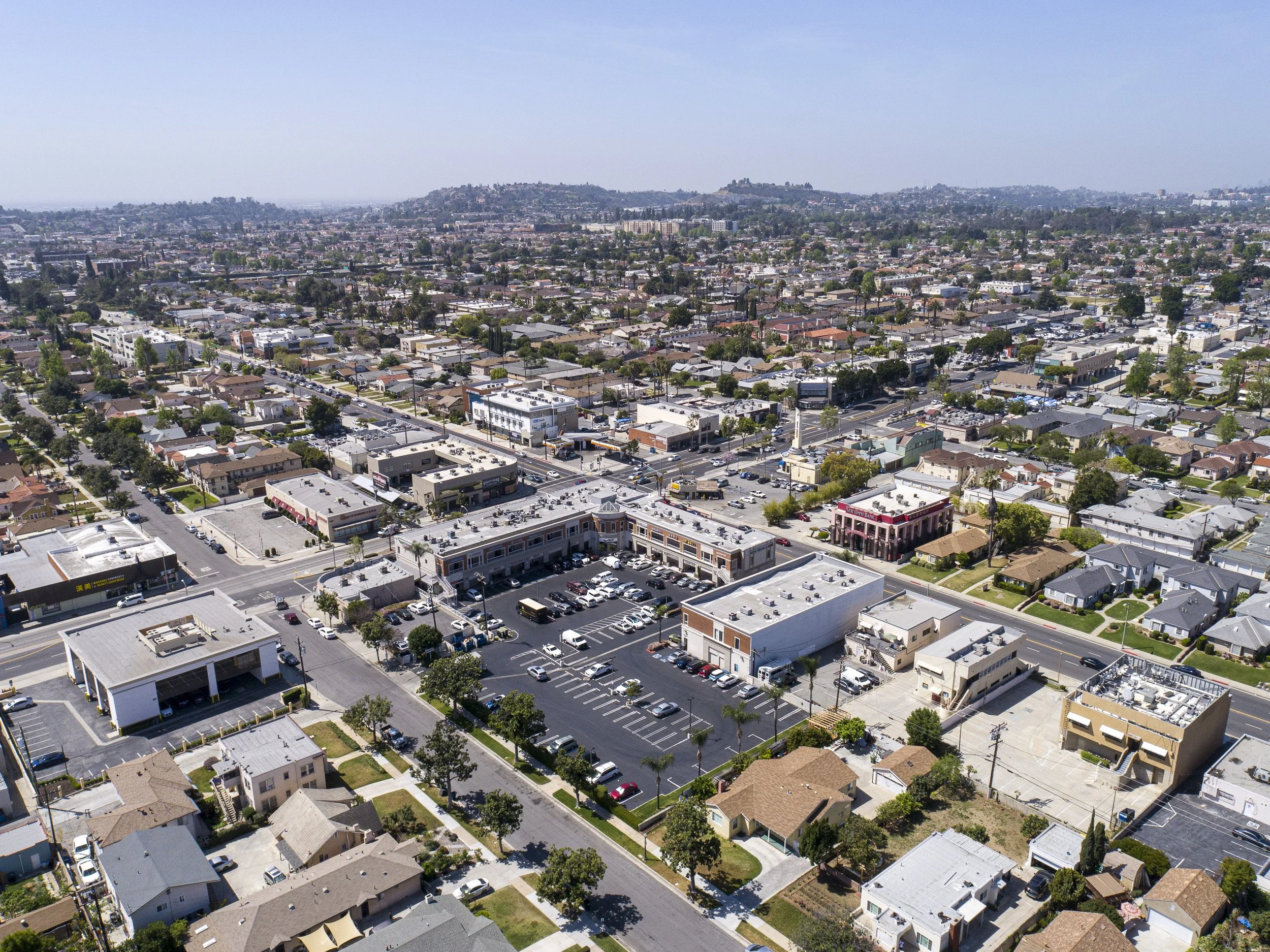
Cardinal directions at 300-400ft
Multiple buildings treated as one
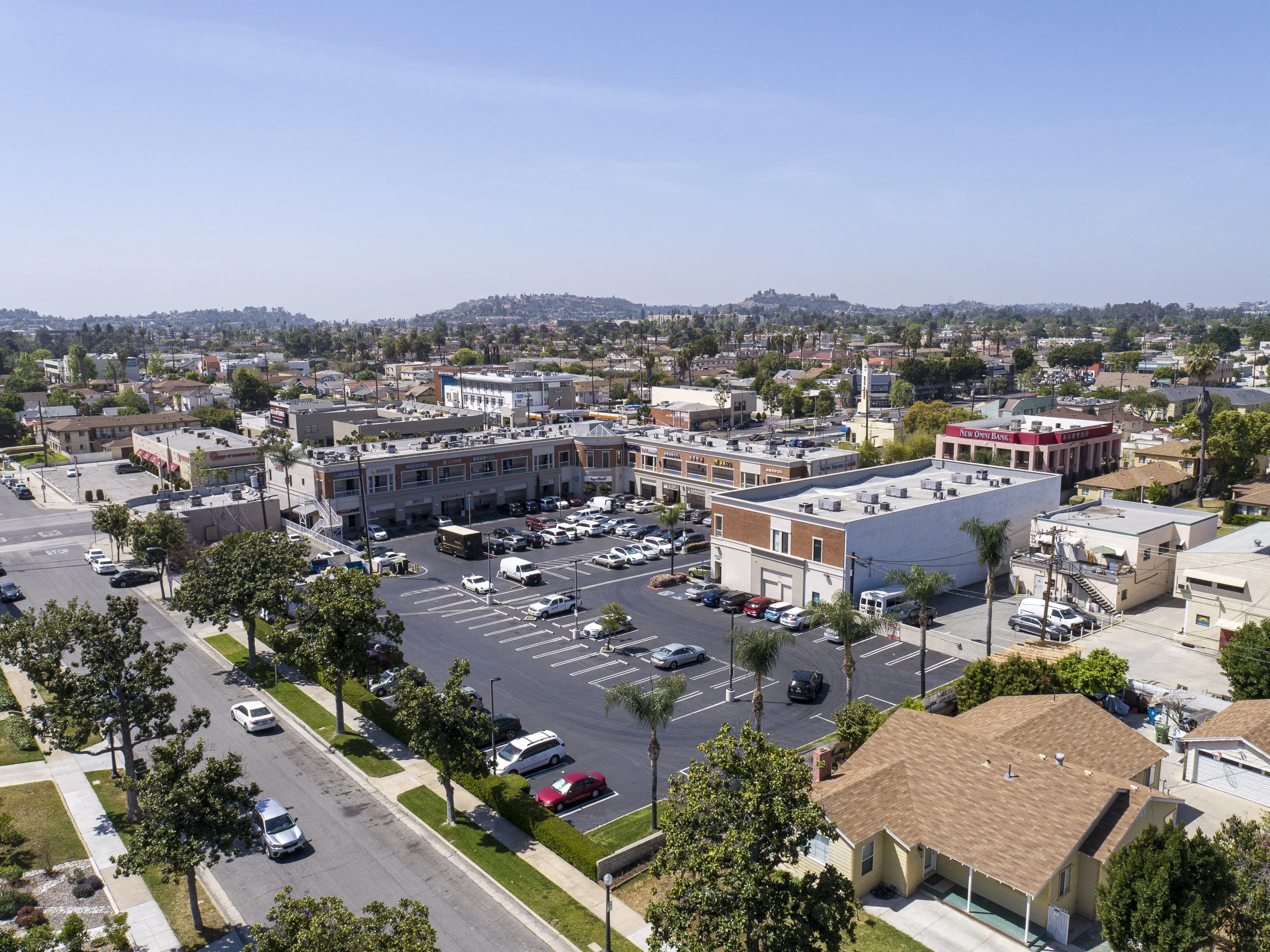
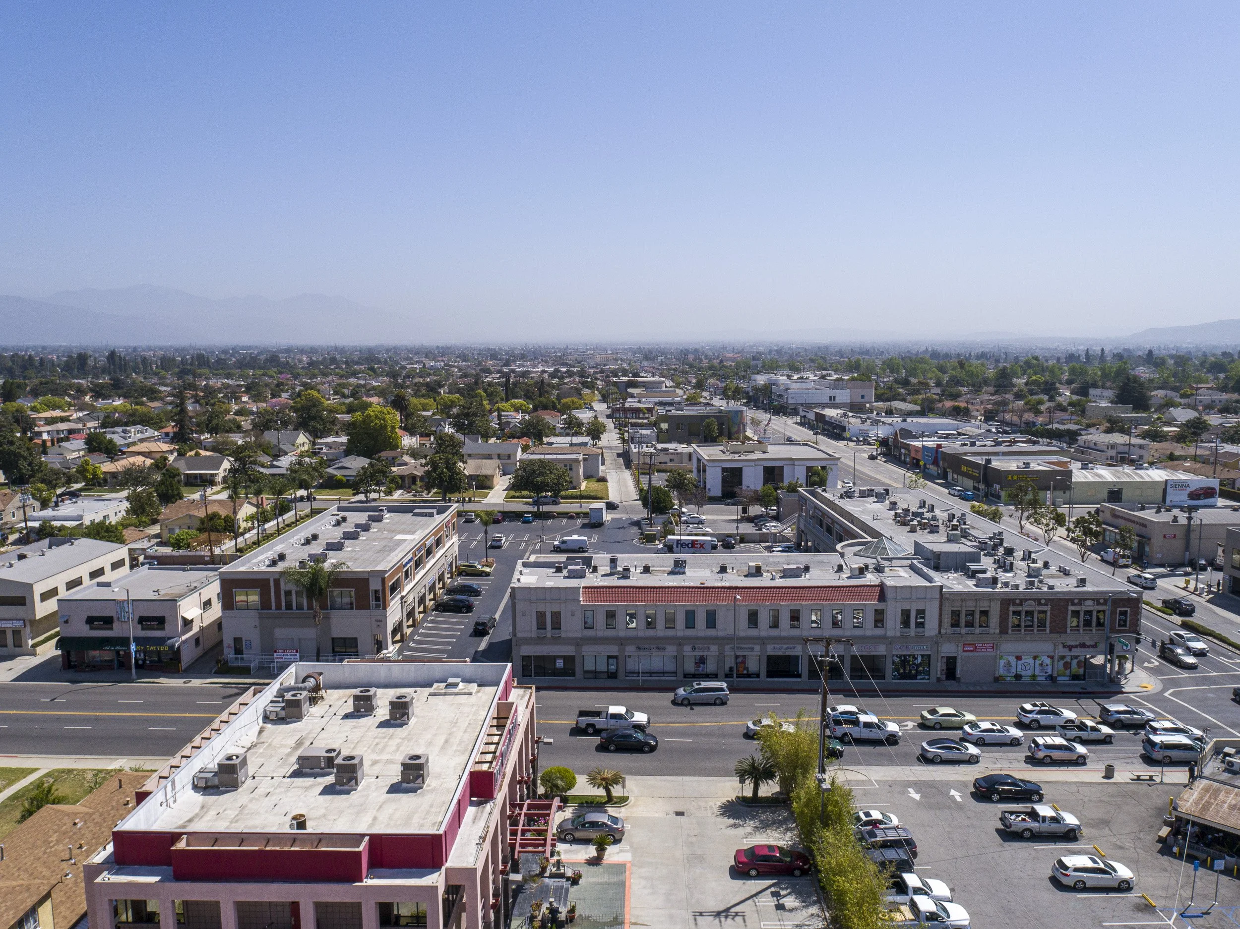
Contextual images with the entire POI in frame. The images reveal proximity to freeways, shopping malls, city centers, and other landmarks. Adjustments may be necessary for larger properties or due to obstructions and airspace restrictions.


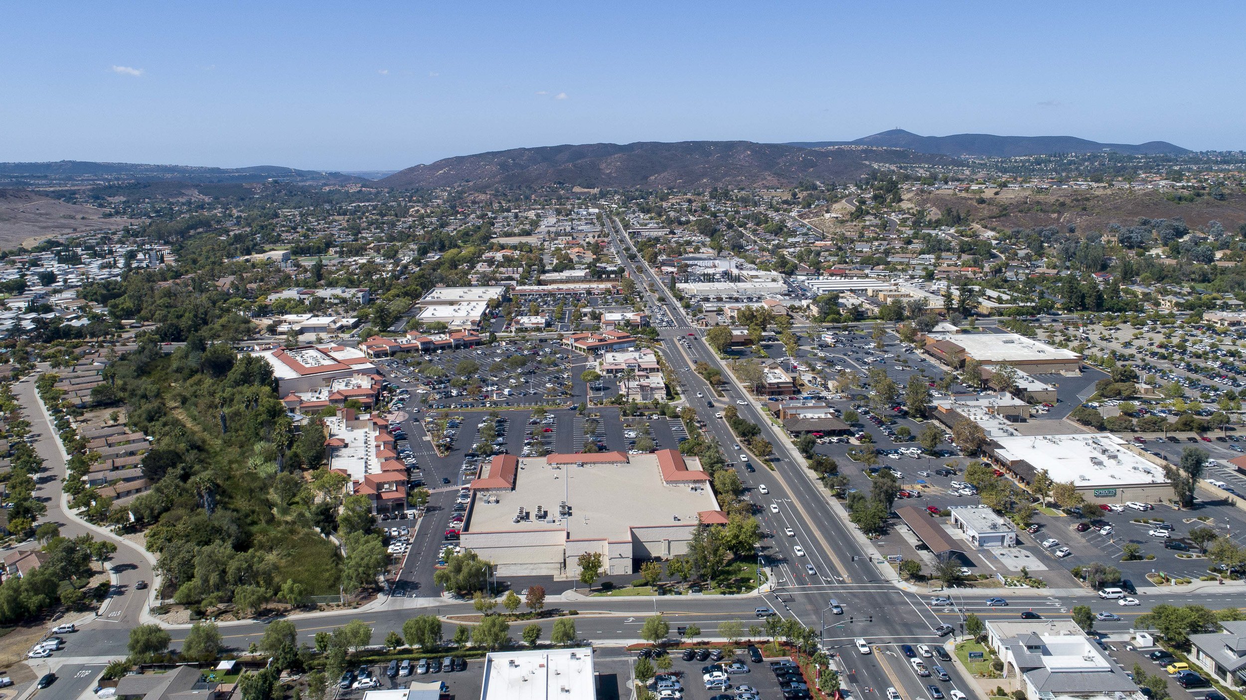
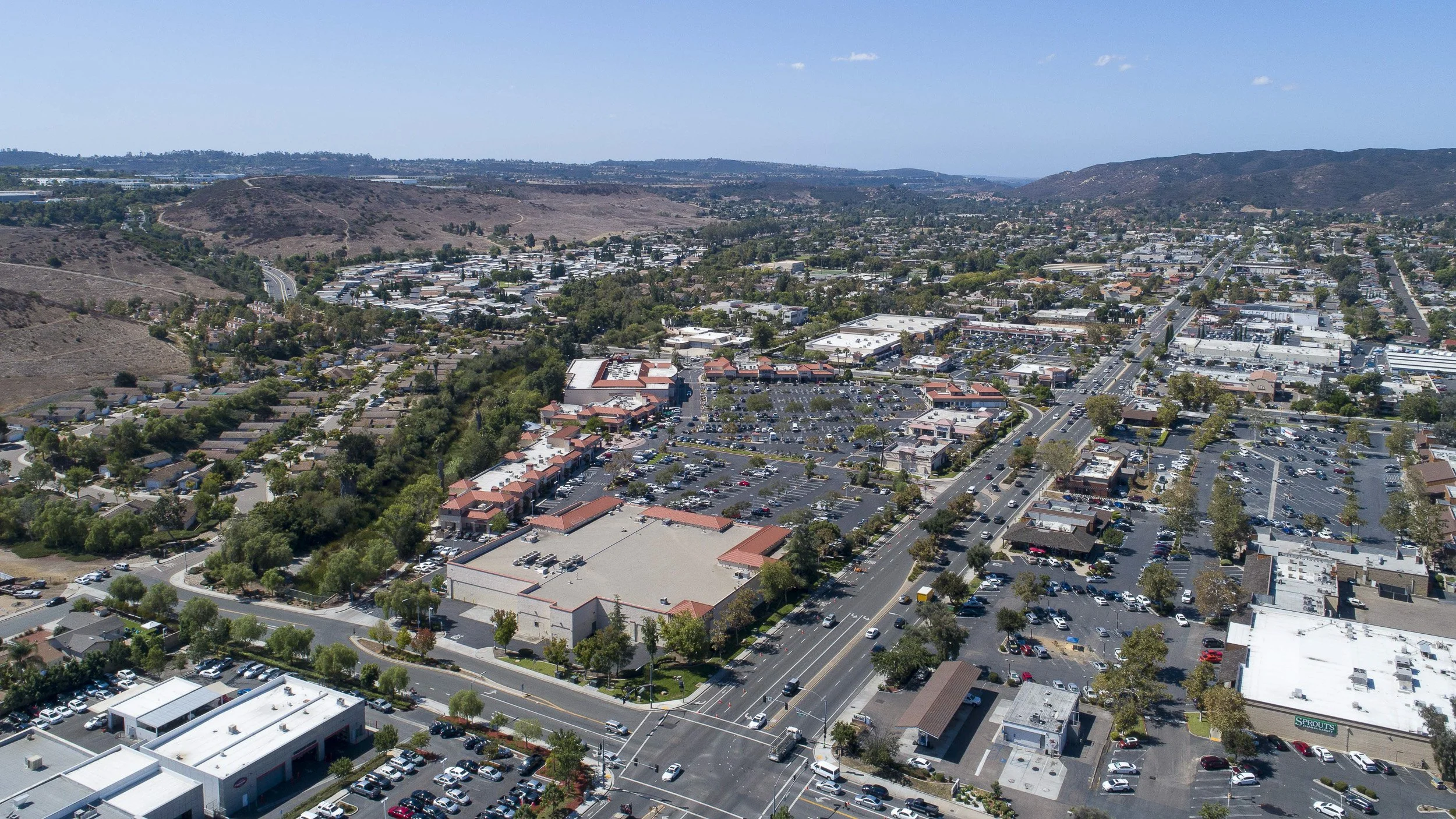
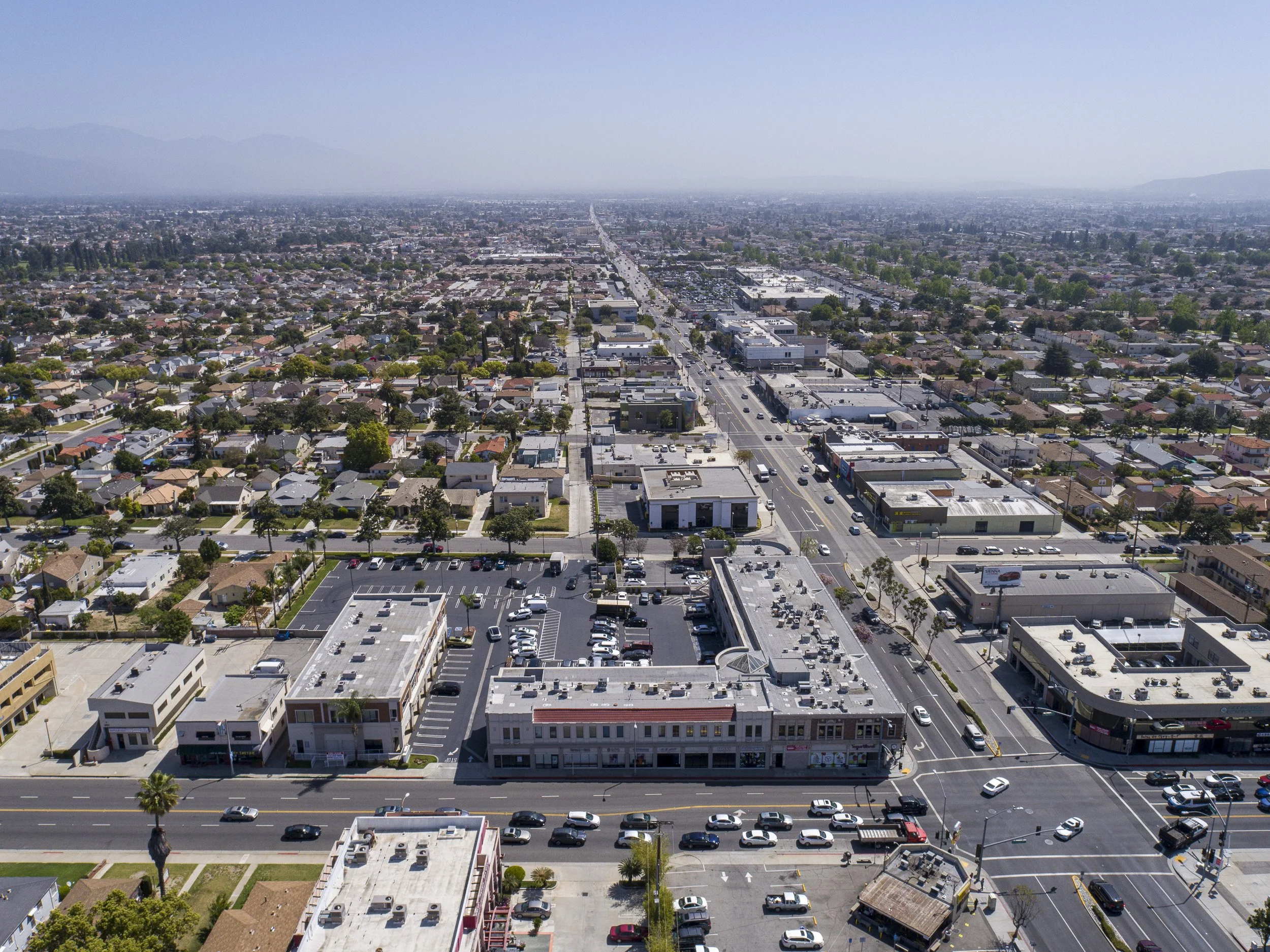
Cardinal directions at 300ft
Another example of multiple building capture

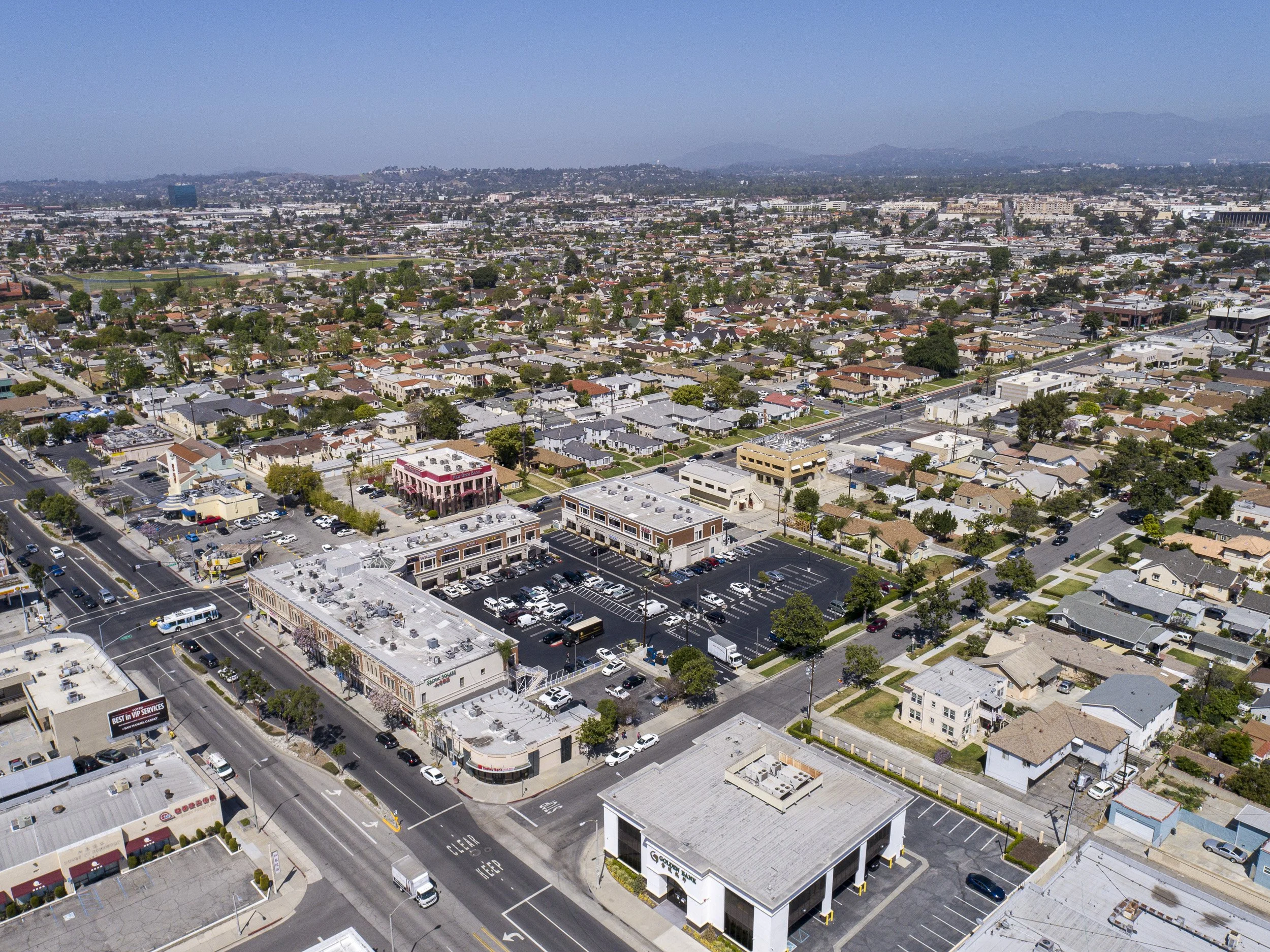
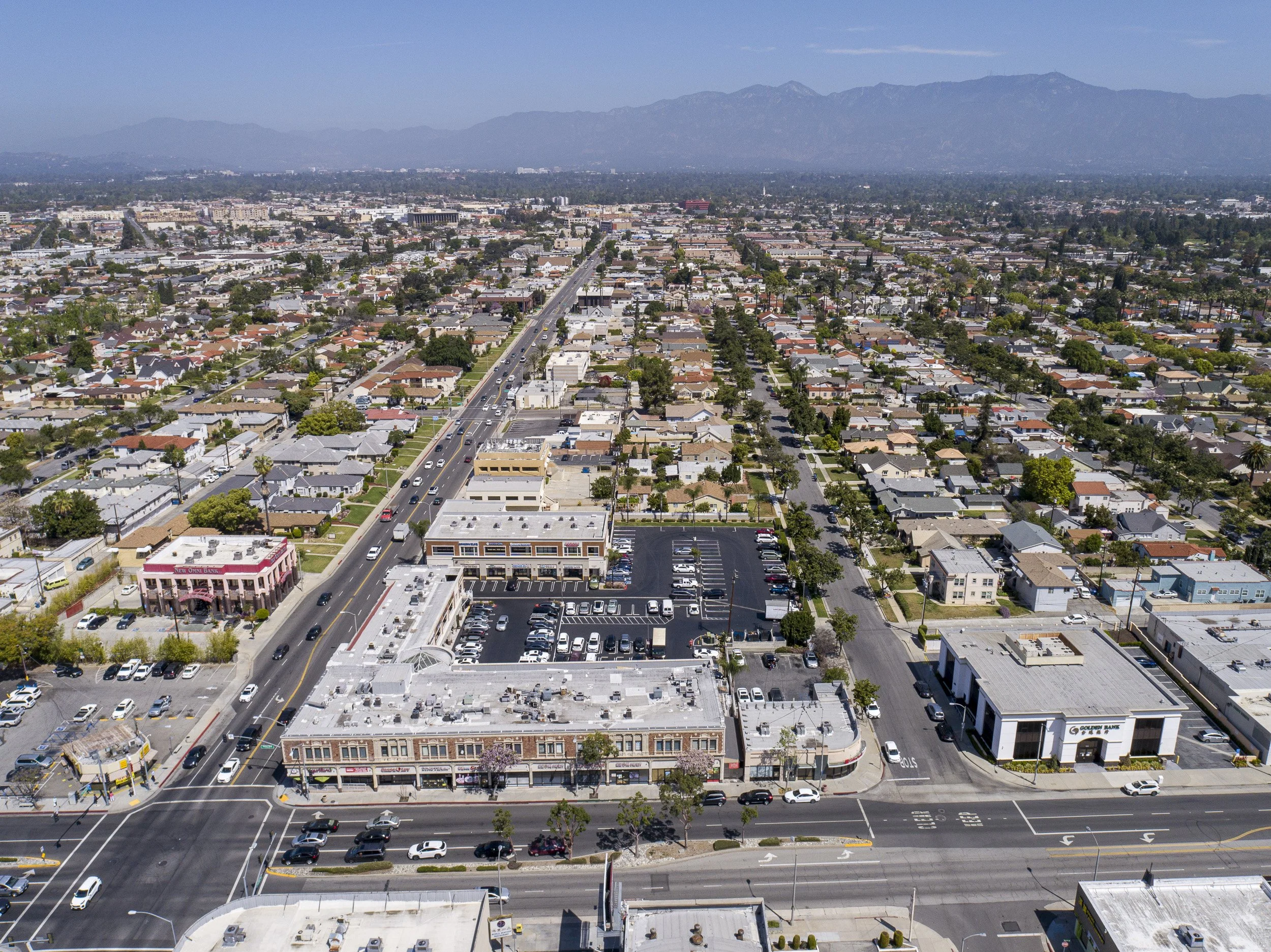
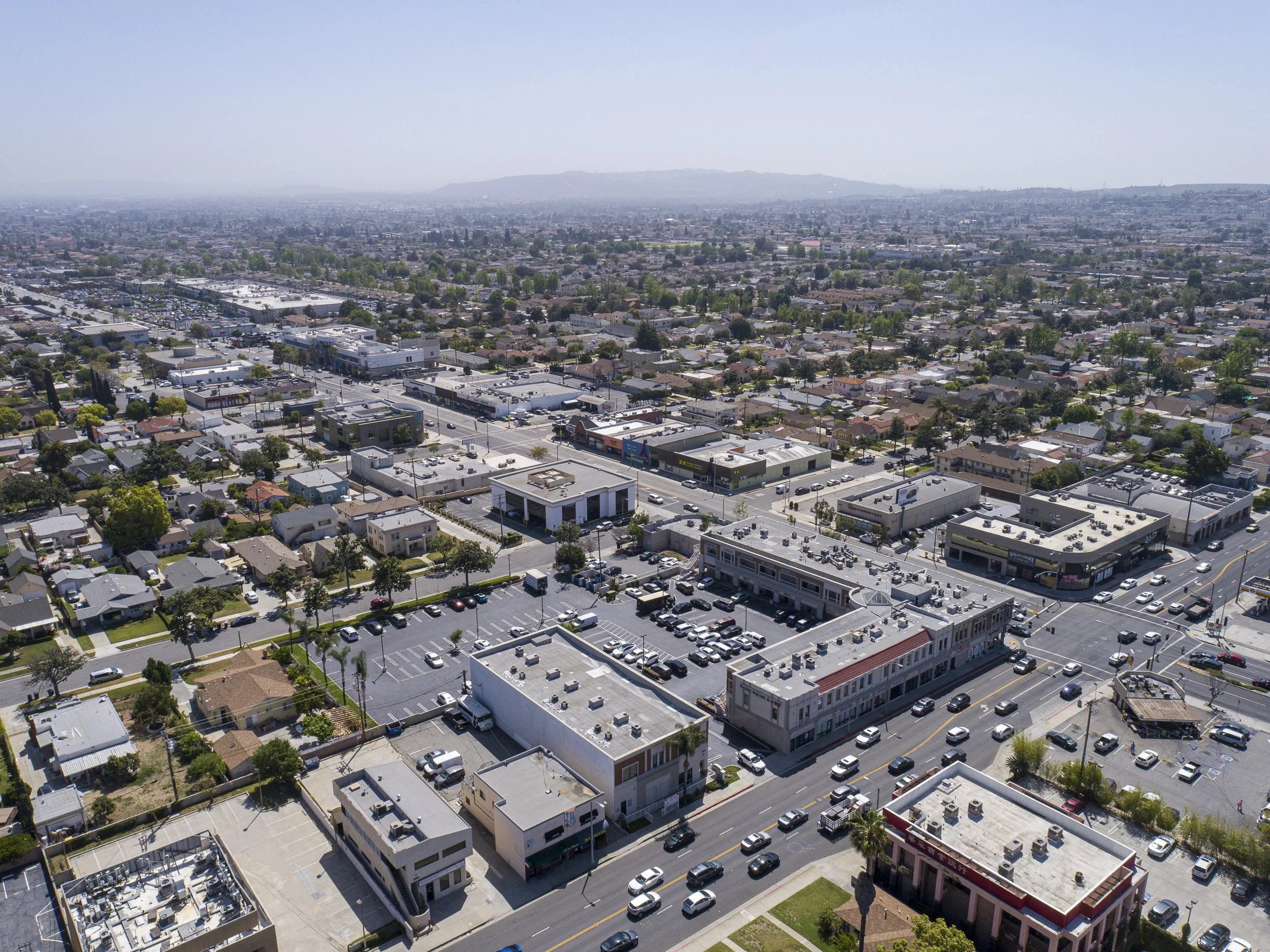
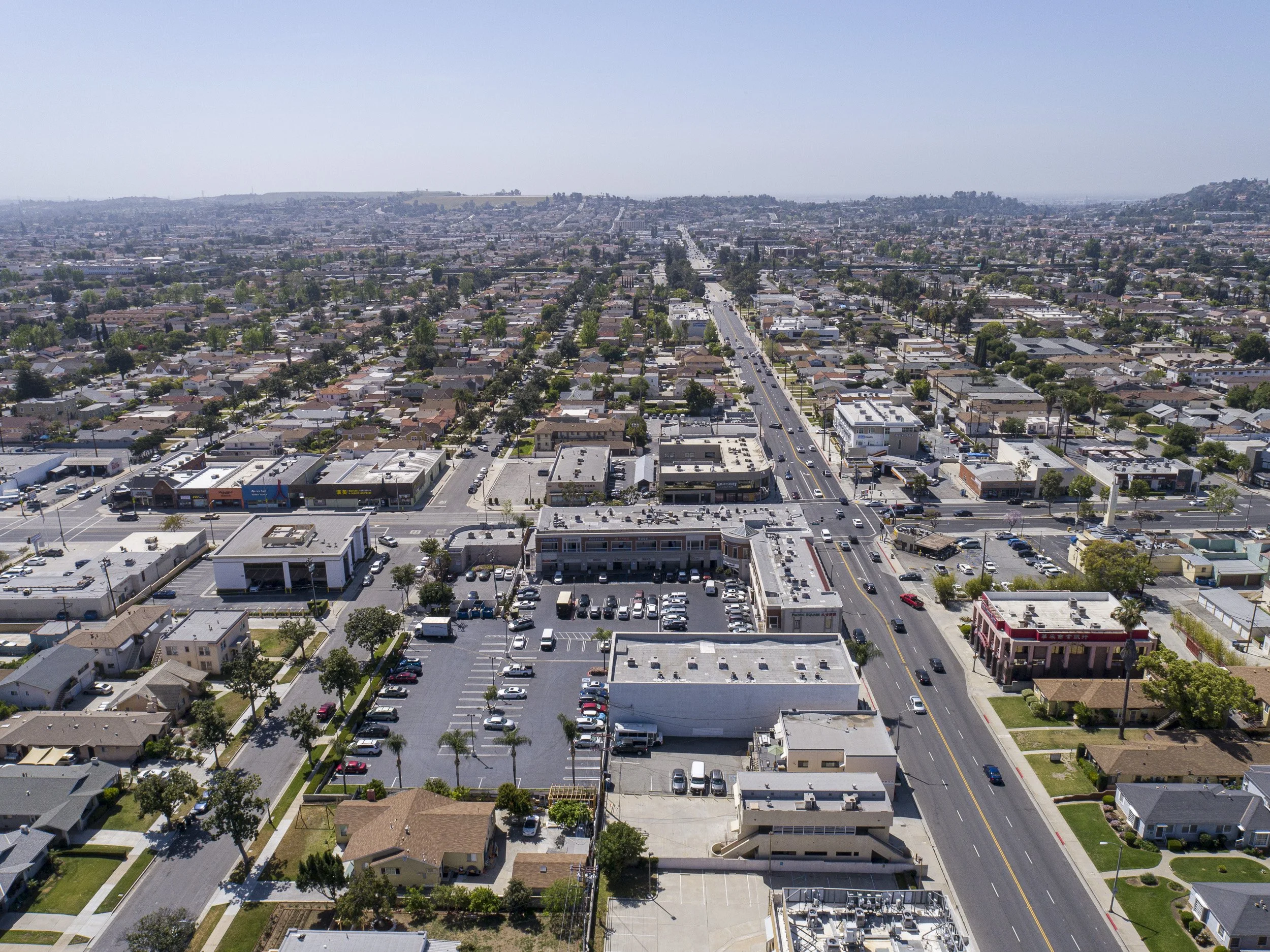
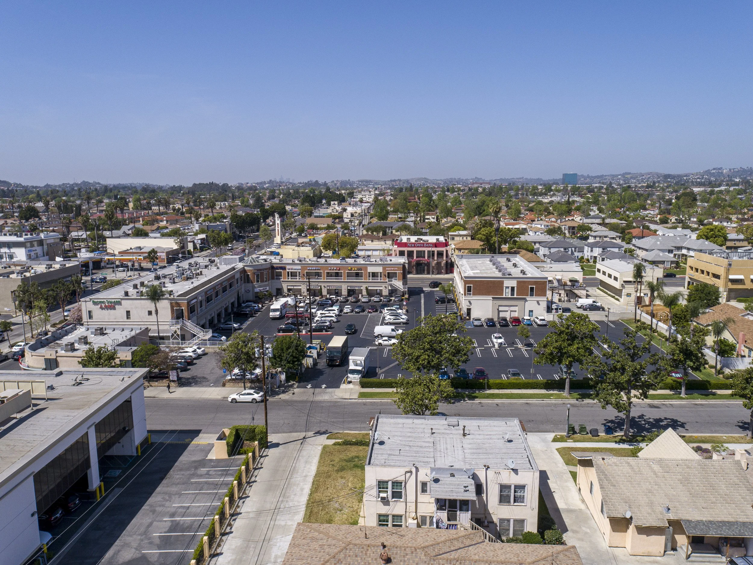
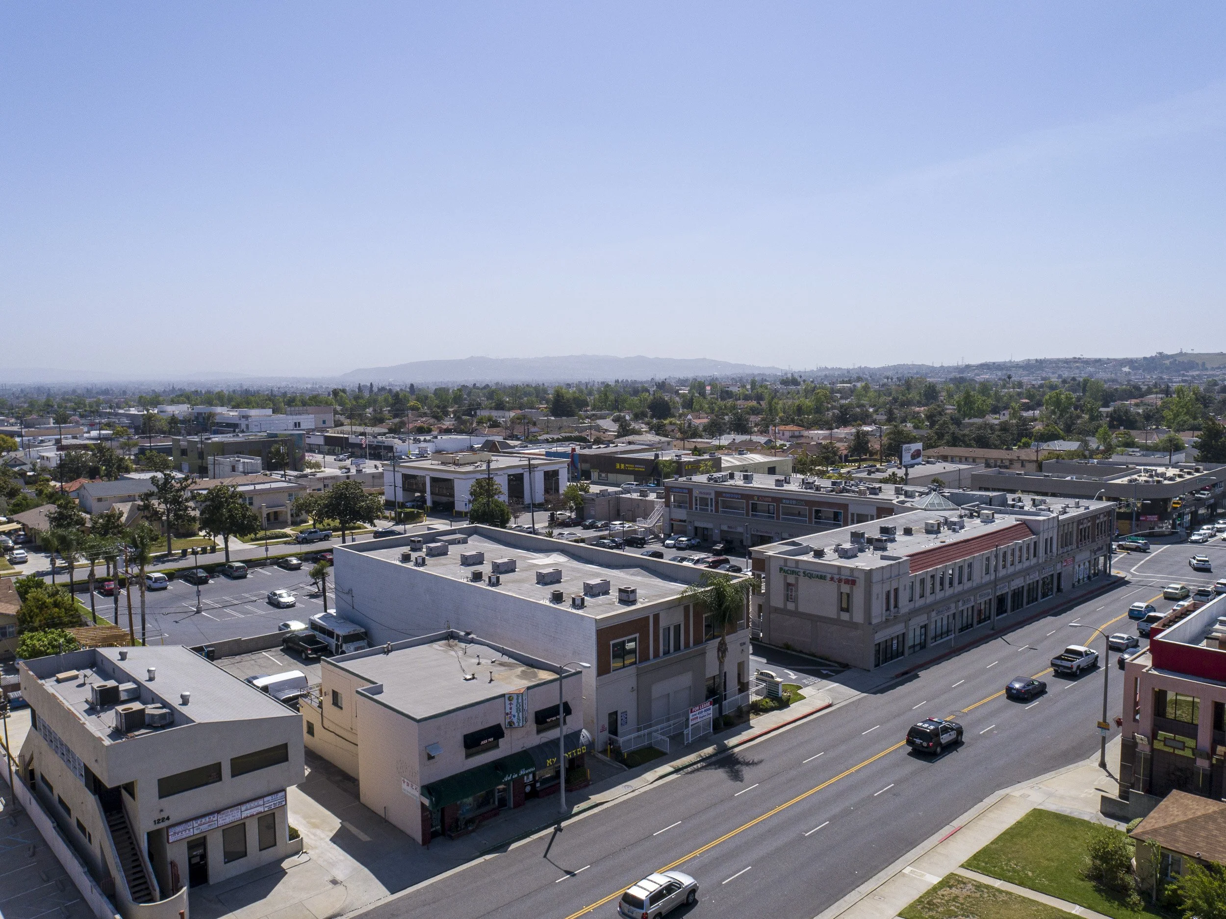
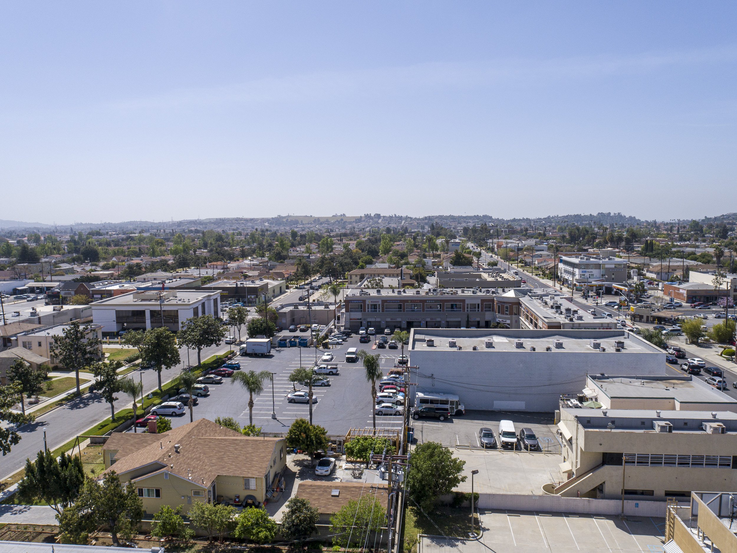
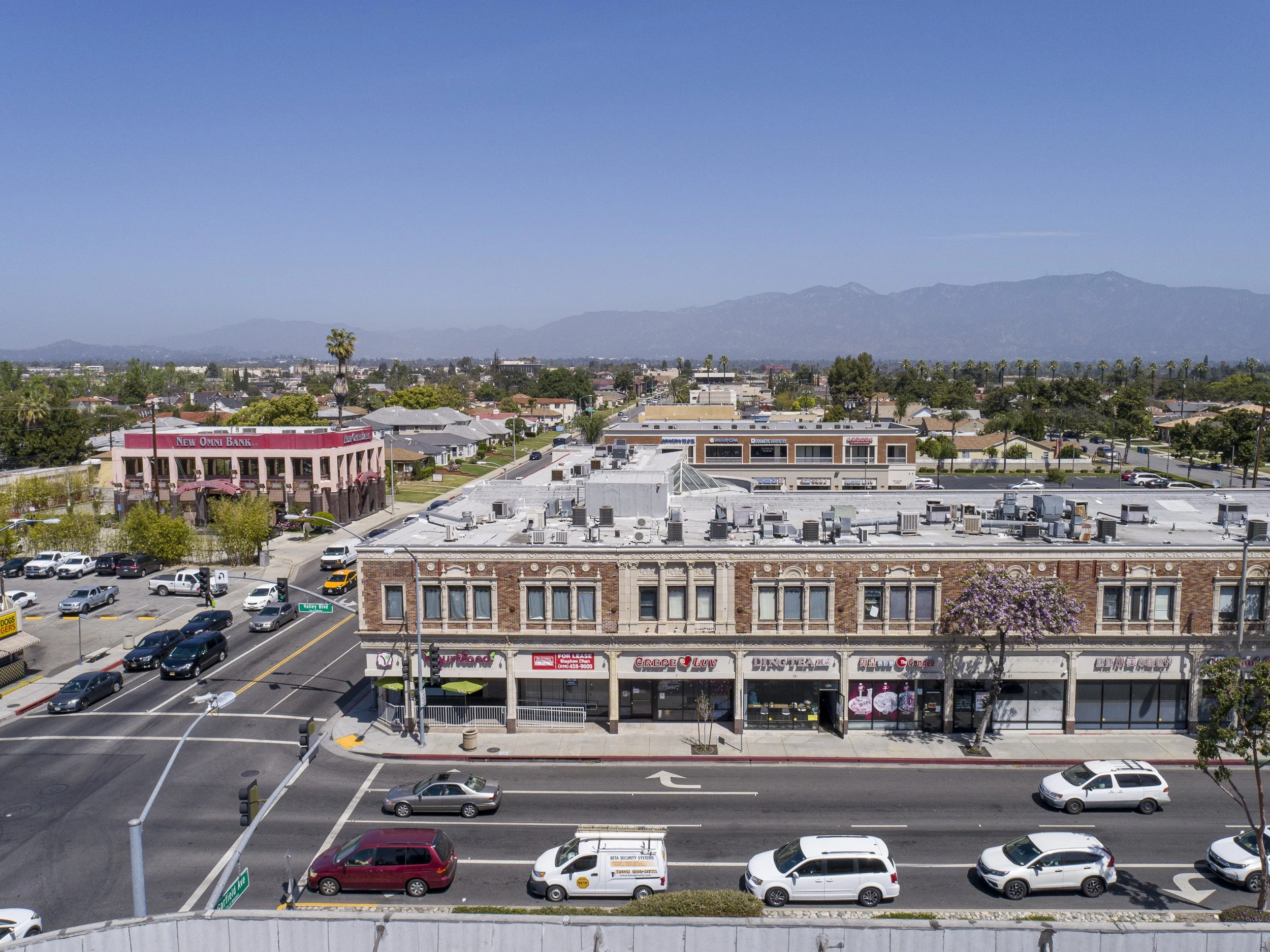
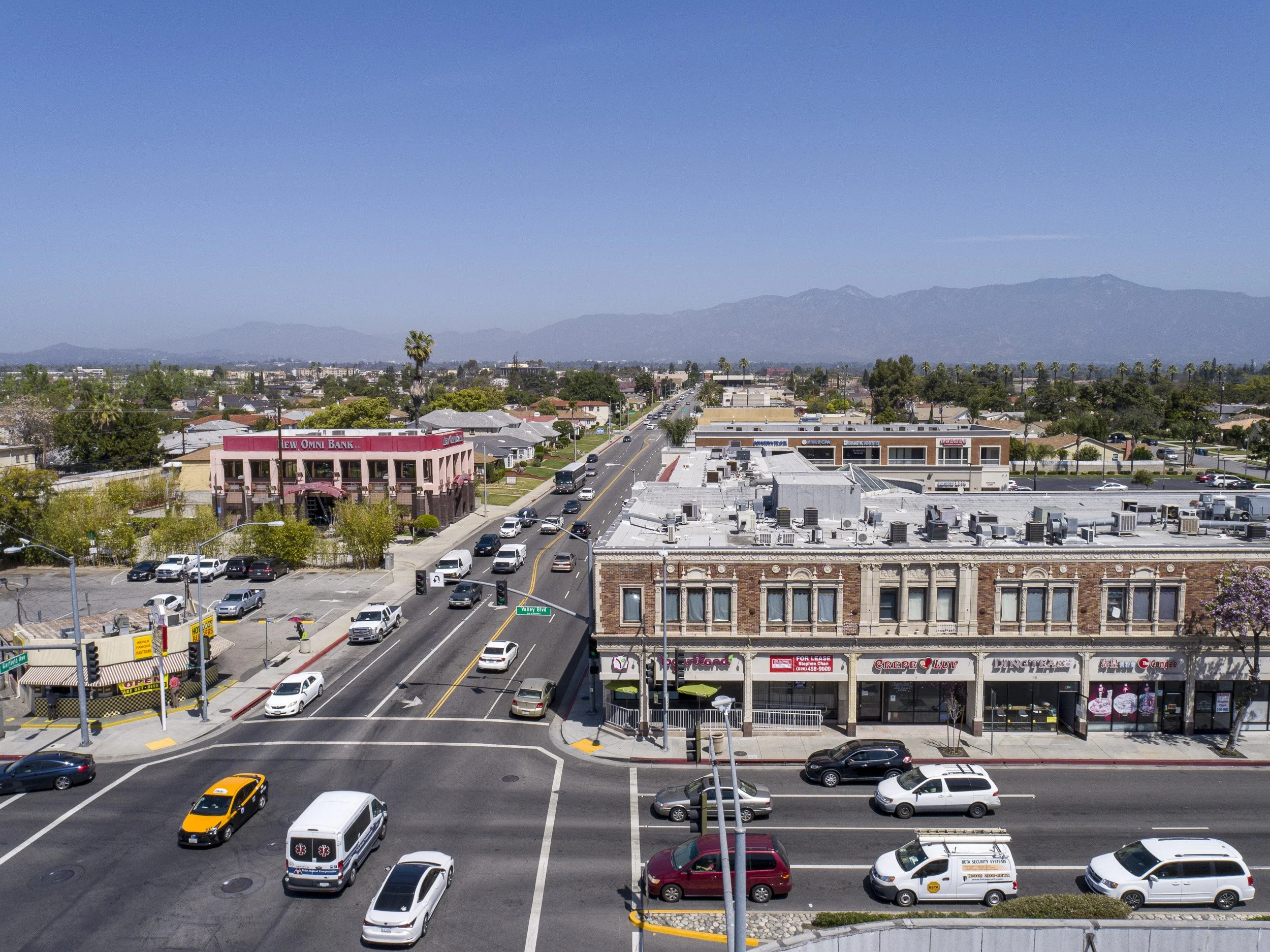
Cardinal directions at 100ft
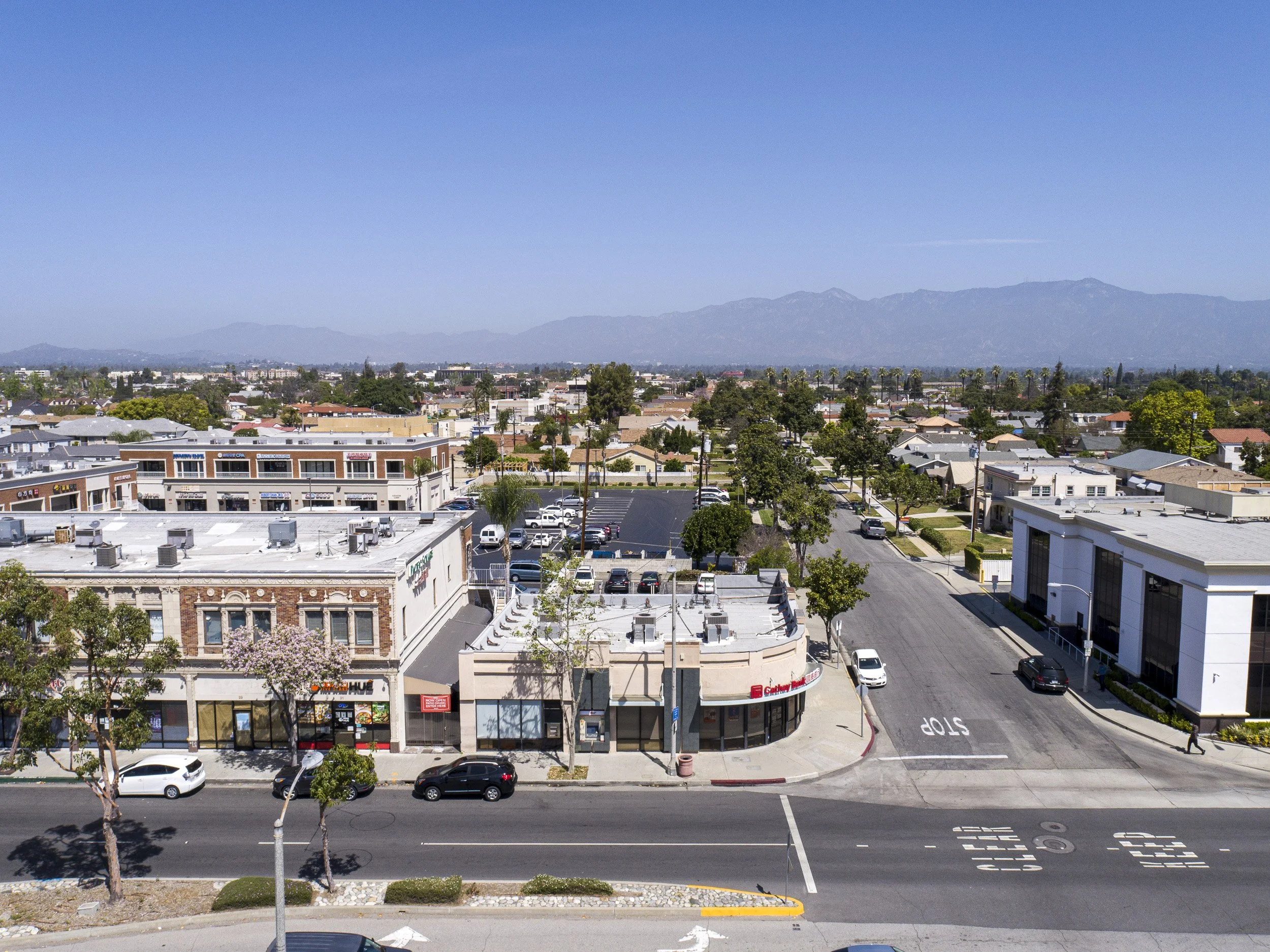
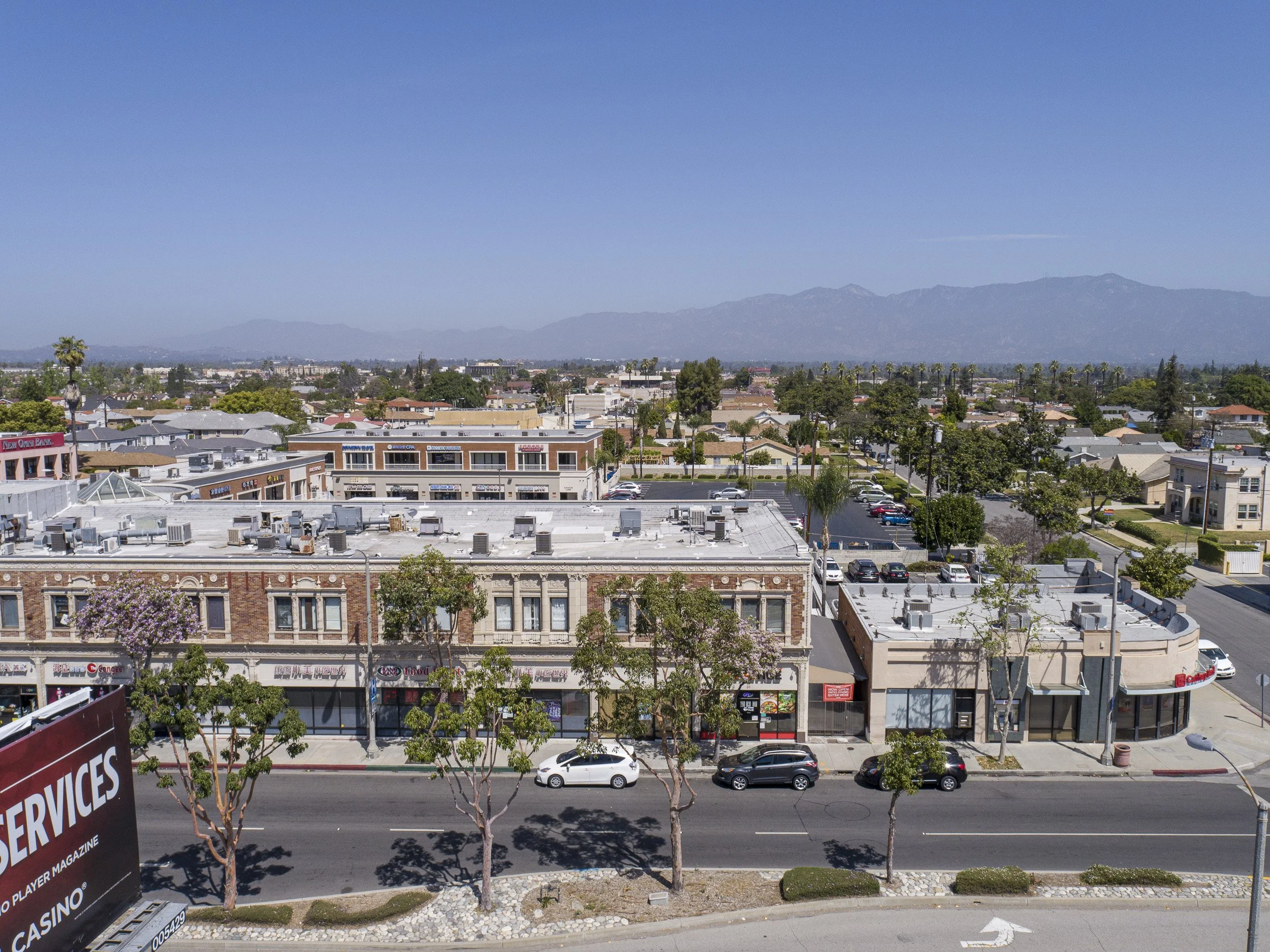
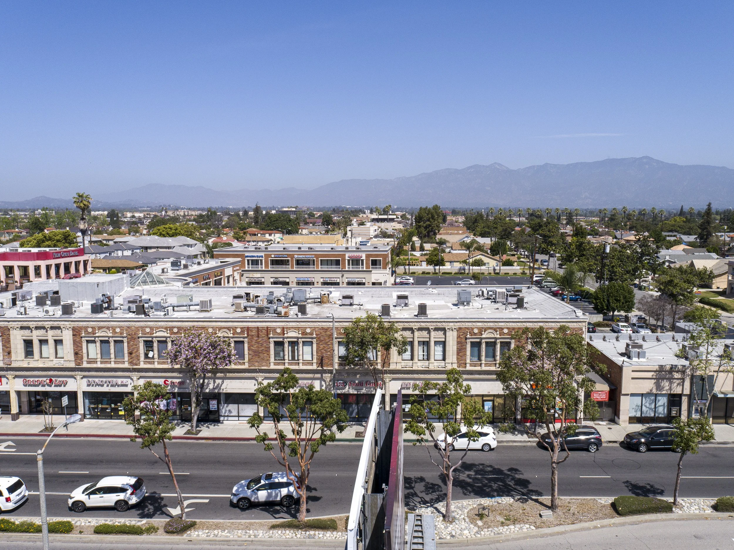
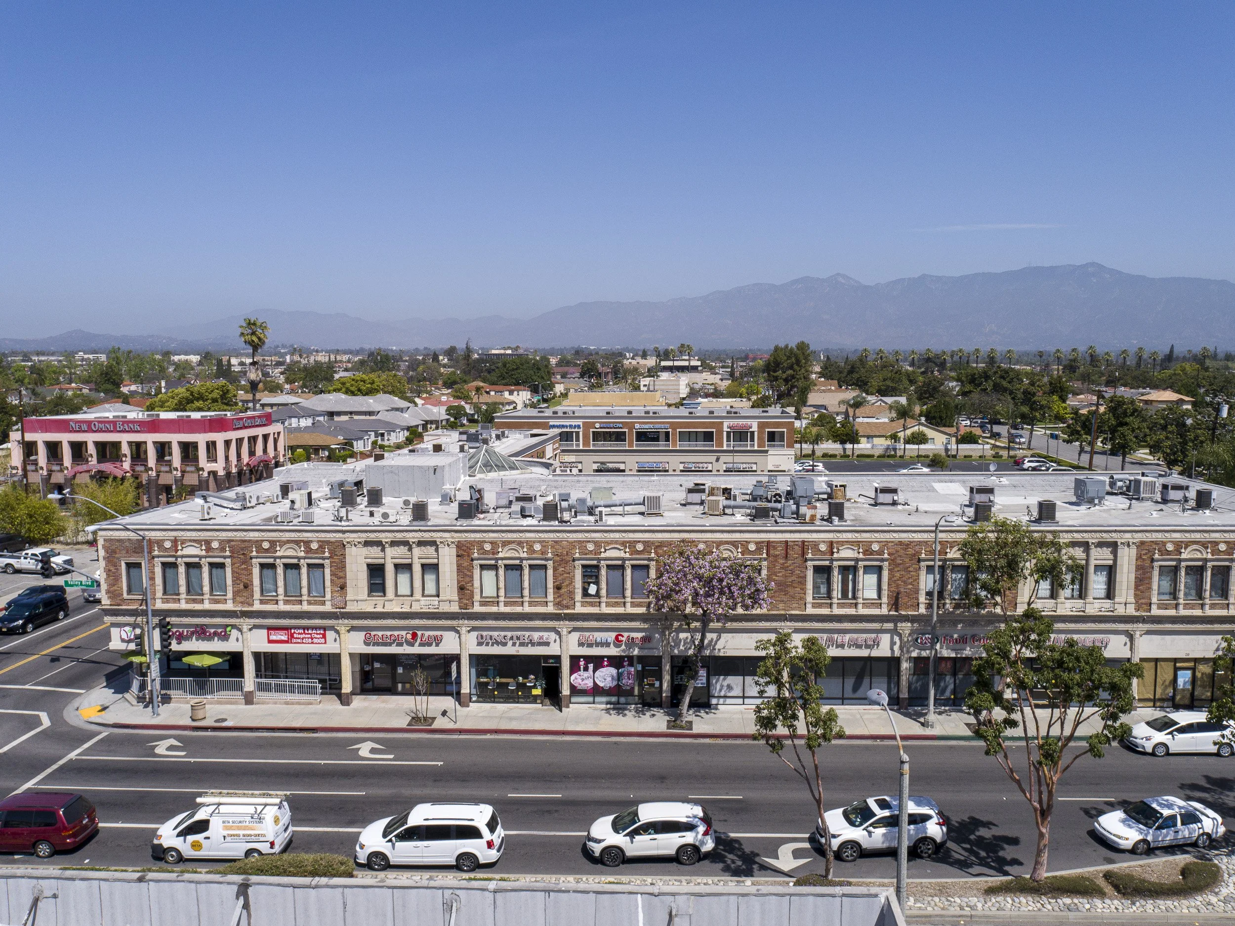
To show the building’s overall condition. The images are captured from about 100ft - depending on the location and obstructions, such as power lines. These photographs are suitable for marketing materials and lease listings.
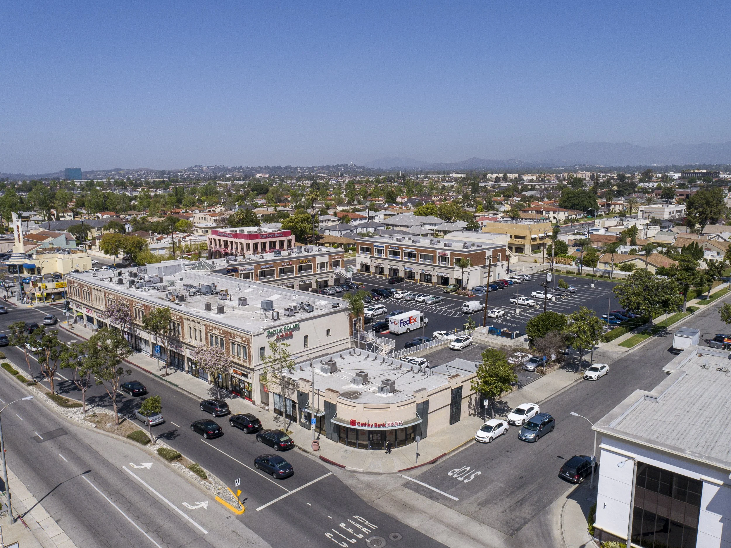

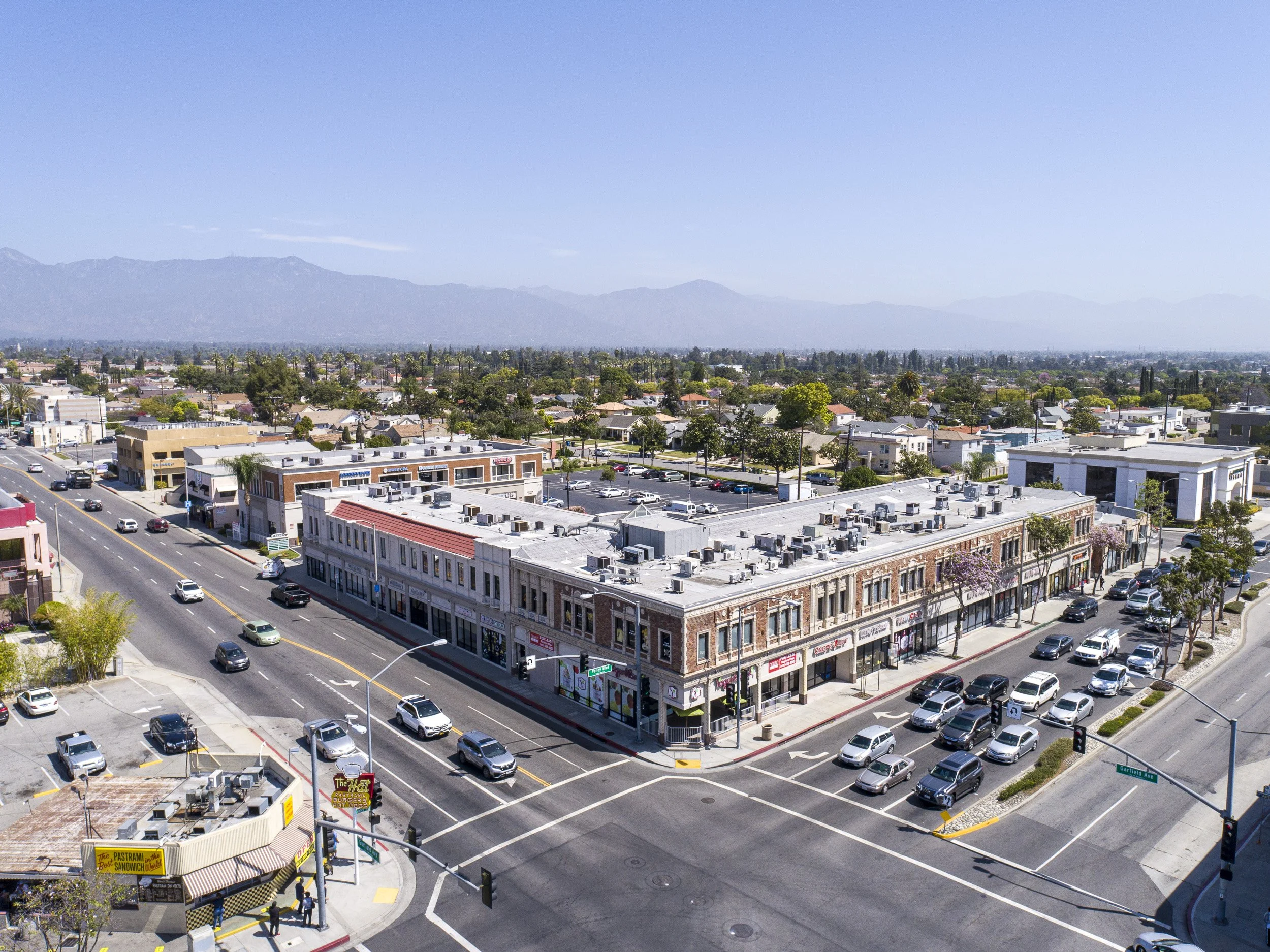
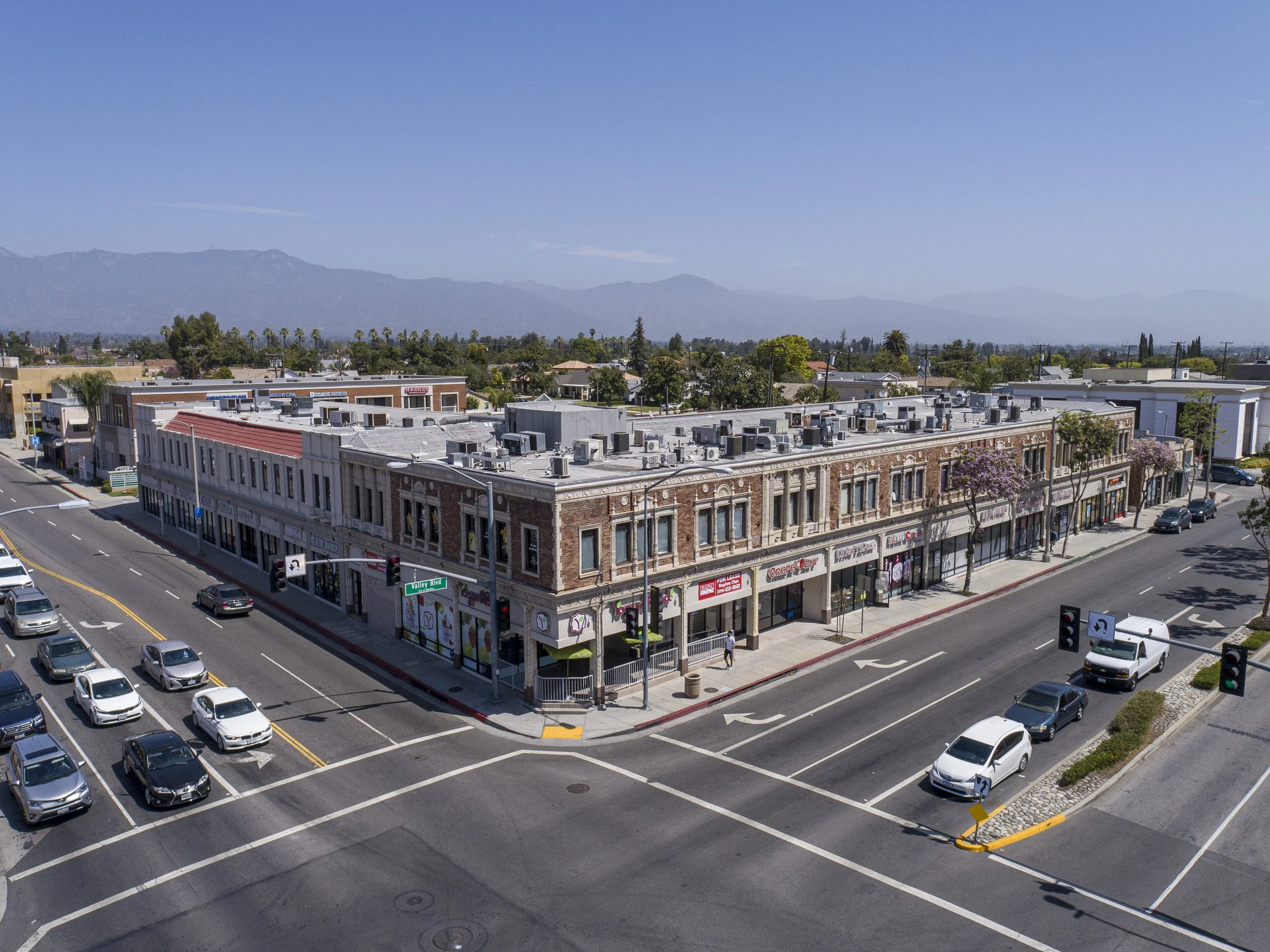
Front of buildings and birds eye
Roof level images show detail of the front of the building, including business storefronts, parking, signages, address, and other details. Ground photography may be substituted for these shots if flying low is considered hazardous due to pedestrian traffic, other buildings, power lines, or other obstructions.
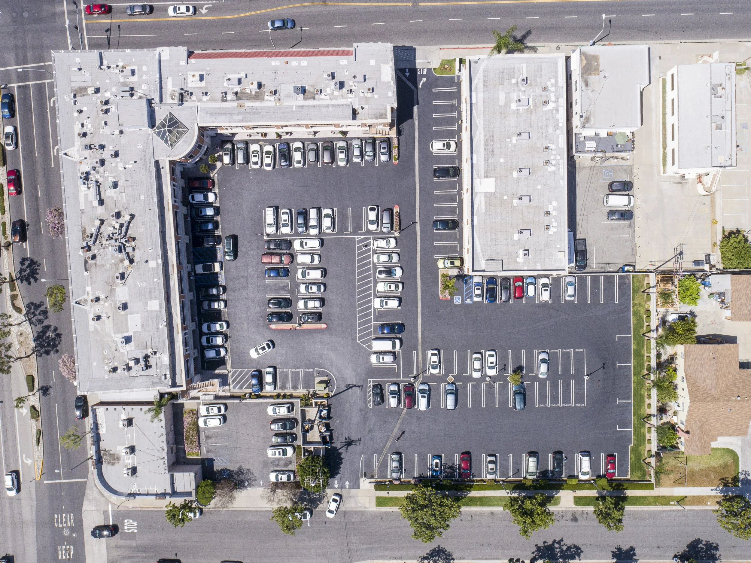
Nadir (straight down) photo shows basic condition of the roof, up-to-date placement of HVAC equipment. Entire property in frame reveals pavement condition/parking arrangements.
We will capture your property to the highest standard using standardized capture sequence that can be replicated in the future for consistent data collection. We work with every client on specific requirements so our capture is exactly suitable for your needs.
OUR STANDARD PHOTO CAPTURE INCLUDES 25 photos*
Eight photographs from cardinal directions from 250ft-300ft or the highest allowable altitude
Eight photographs from cardinal directions from about 100ft (or safe altitude) to show immediate surroundings
Three photographs of the front of the building - roof level to show front facade
One birds eye photograph
Five additional images - either pilot’s choice or can be requested. For example showing the neighborhood, schools, shops, freeway.
All photographs are captured in raw format and processed in photoshop for the best quality
*Due to FAA limitations, and/or risk involved, capture sequence may be altered by the drone operator to keep the operation safe. Ground capture may be necessary in some situations