Real estate
We can help you with a wide range of imaging services, from aerial and ground photos & videos, to detailed property mapping, and solar feasibility reports. Let us know what we can do for you.
Aerial photography/videography
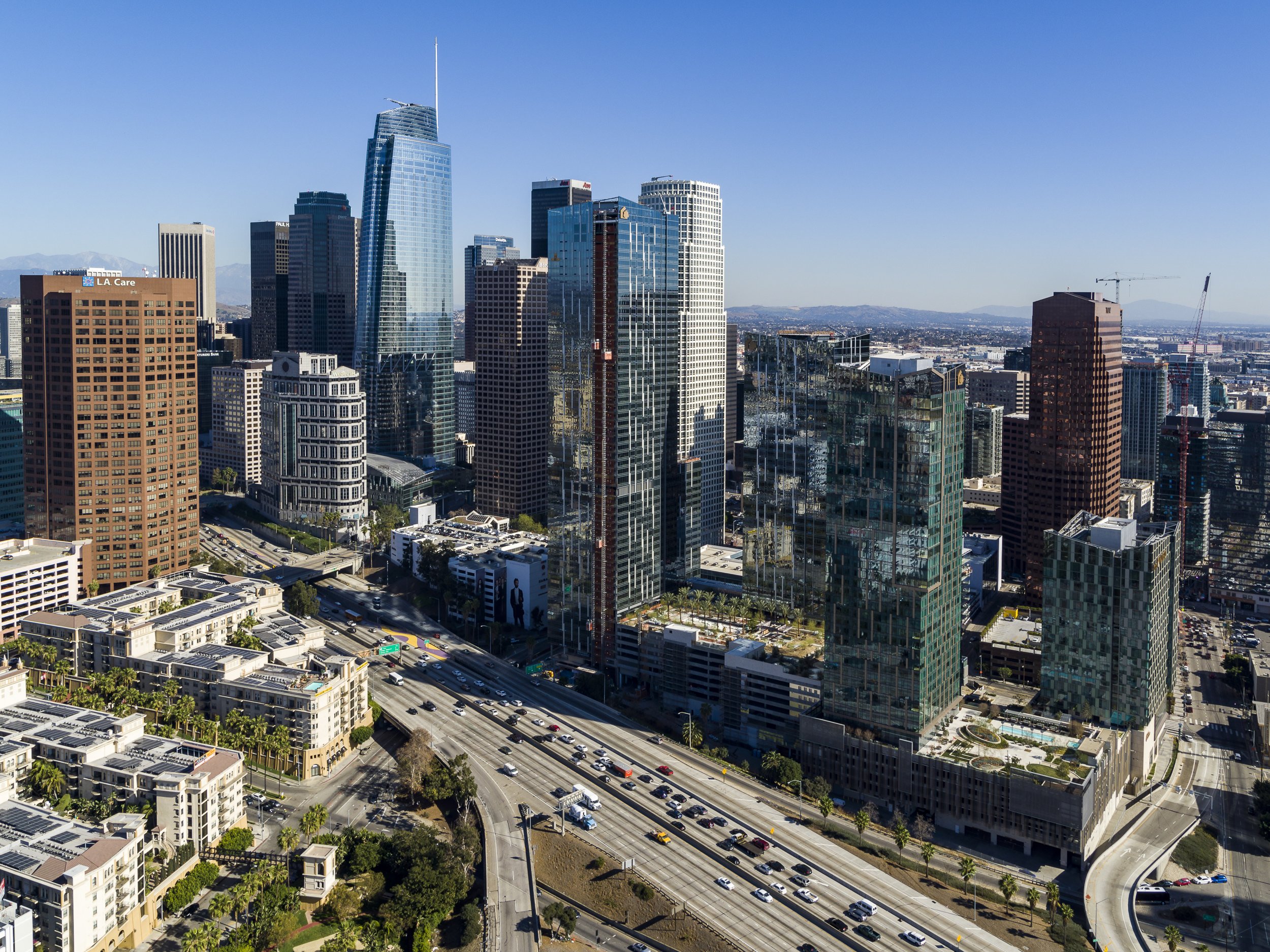
You can choose either our standard photo package or we can work with you on capturing the property the way you envision it.
We exclusively capture all images in raw format for optimal quality. You can choose between the 20MP DJI Phantom 4 Pro or upgrade to the cinema-quality DJI Inspire 2 with 24MP X7 camera, producing vibrant and detailed images for any marketing application. We can capture videos in ProRes format which will enable the most flexibility in post-processing.
Ground photography - adding ground-based capture to your aerial images will create a complete package.
DJI Inspire 2/X7 camera with 16, 24, 35, 50 mm F2.8 lenses on a 24MP APSC sensor for capturing beautiful still images, and cinema-quality 4K ProRes footage. This is a very powerful tool for demanding marketers.
Griffin Club - Los Angeles - video example
PROPERTY MAPPING
We can capture and process detailed geo-referenced maps with property boundaries and contours. This is particularly useful for new land development. Detailed visual maps with with high spatial accuracy can be invaluable for architecture firms to start visualizing projects without visiting the site. 3D models and point clouds can be imported into AutoCAD for additional processing. We use ground control points and checkpoints to maximize geographical accuracy but our services are not a substitute for a traditional geographical survey.
PANORAMAS
Panoramas - 180 or 360 degree panoramas for immersive viewing experience. We can create virtual tours including both aerial and ground panoramas. Virtual tours are hosted by Kuula.
HDR
HDR (High Dynamic Range) images - with advances in display technology, HDR is quickly becoming the new standard in image processing workflow, and with the proper display can produce stunning images. We use HLG format for wider dynamic range on HDR-capable displays. HDR creates images that have more light in the shadows while maintaining information in the highlights.
SDR - Standard dynamic range image
HDR - High dynamic range image


